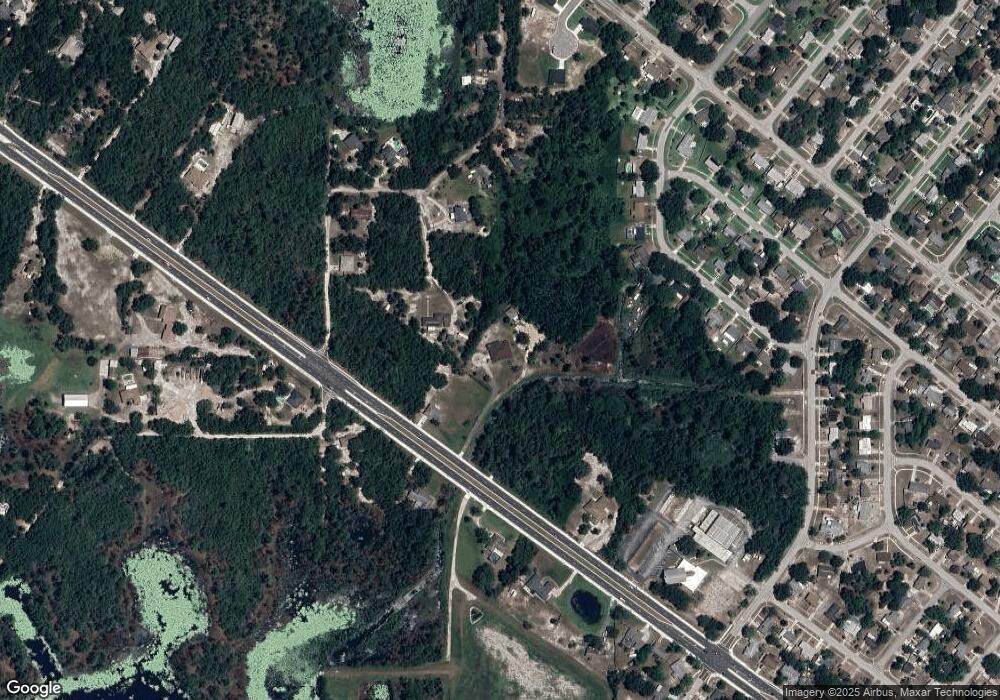
30 Brisset Ct Deltona, FL 32738
Estimated Value: $445,000 - $610,000
3
Beds
3
Baths
3,076
Sq Ft
$169/Sq Ft
Est. Value
About This Home
This home is located at 30 Brisset Ct, Deltona, FL 32738 and is currently estimated at $518,651, approximately $168 per square foot. 30 Brisset Ct is a home located in Volusia County with nearby schools including Friendship Elementary School, Galaxy Middle School, and Deltona High School.
Ownership History
Date
Name
Owned For
Owner Type
Purchase Details
Closed on
Sep 5, 2003
Sold by
Land Safe Inv Inc
Bought by
Brissett Norman and Brissett Joan
Current Estimated Value
Purchase Details
Closed on
May 3, 2002
Sold by
Porta John
Bought by
Land Safe Inv Inc
Purchase Details
Closed on
Nov 8, 2001
Sold by
Foyer Bill
Bought by
Porta John A
Purchase Details
Closed on
Nov 16, 2000
Sold by
Mitchell Carol D
Bought by
Foyer Bill
Purchase Details
Closed on
Oct 30, 2000
Sold by
Mitchell Carol D
Bought by
Foyer Bill
Purchase Details
Closed on
Aug 29, 2000
Sold by
Court Clerk Circuit
Bought by
Foyer Bill
Purchase Details
Closed on
Dec 15, 1985
Bought by
Brissett Norman and Brissett Joan
Create a Home Valuation Report for This Property
The Home Valuation Report is an in-depth analysis detailing your home's value as well as a comparison with similar homes in the area
Home Values in the Area
Average Home Value in this Area
Purchase History
| Date | Buyer | Sale Price | Title Company |
|---|---|---|---|
| Brissett Norman | $25,000 | -- | |
| Landsafe Inv Inc | -- | -- | |
| Land Safe Inv Inc | -- | -- | |
| Porta John A | $17,000 | -- | |
| Foyer Bill | -- | -- | |
| Foyer Bill | -- | -- | |
| Foyer Bill | $2,300 | -- | |
| Brissett Norman | $4,900 | -- |
Source: Public Records
Tax History Compared to Growth
Tax History
| Year | Tax Paid | Tax Assessment Tax Assessment Total Assessment is a certain percentage of the fair market value that is determined by local assessors to be the total taxable value of land and additions on the property. | Land | Improvement |
|---|---|---|---|---|
| 2025 | $3,102 | $195,412 | -- | -- |
| 2024 | $3,102 | $189,905 | -- | -- |
| 2023 | $3,102 | $184,374 | $0 | $0 |
| 2022 | $2,961 | $173,706 | $0 | $0 |
| 2021 | $3,040 | $168,647 | $0 | $0 |
| 2020 | $2,999 | $166,319 | $0 | $0 |
| 2019 | $3,033 | $162,580 | $0 | $0 |
| 2018 | $3,014 | $159,549 | $0 | $0 |
| 2017 | $3,005 | $156,267 | $0 | $0 |
| 2016 | $2,902 | $153,053 | $0 | $0 |
| 2015 | $2,957 | $151,989 | $0 | $0 |
| 2014 | $2,940 | $150,783 | $0 | $0 |
Source: Public Records
Map
Nearby Homes
- 2364 Howland Blvd
- 2491 Sable Ave
- 2541 Lake Helen Osteen Rd
- 2417 Adams Ave
- 2233 Austin Ave
- 0 Illinois Ave Unit V4922188
- 0 Illinois Ave Unit MFRO6285652
- 0 Illinois Ave Unit MFRO6289071
- 2433 Adams Ave
- 2434 Barbarossa Ave
- 2332 Hadley St
- 2448 Austin Ave
- 2332 Mitchell Island Rd
- 2450 Cardena Ave
- 2223 Howland Blvd
- 2558 Collingswood Dr
- 2308 Lake Helen Osteen Rd
- 2665 Windsor Heights St
- 2766 Elkcam Blvd
- 2662 Hibiscus Ct
- 2505 Abi Lee Crescent
- 2358 Howland Blvd
- 2392 Howland Blvd
- 2350 Howland Blvd
- 2409 Lake Tiny Rd
- 2414 Howland Blvd
- 2456 Sable Ave
- 2365 Howland Blvd
- 2499 Mitchell Island Rd
- 2450 Sable Ave
- 2400 Center Rd
- 2424 Center Rd
- 2462 Sable Ave
- 2310 Howland Blvd Unit C
- 2310 Howland Blvd
- 2403 Lake Tiny Rd
- 2444 Sable Ave
- 2417 Lake Tiny Rd
- 2468 Sable Ave
- 2345 Howland Blvd
