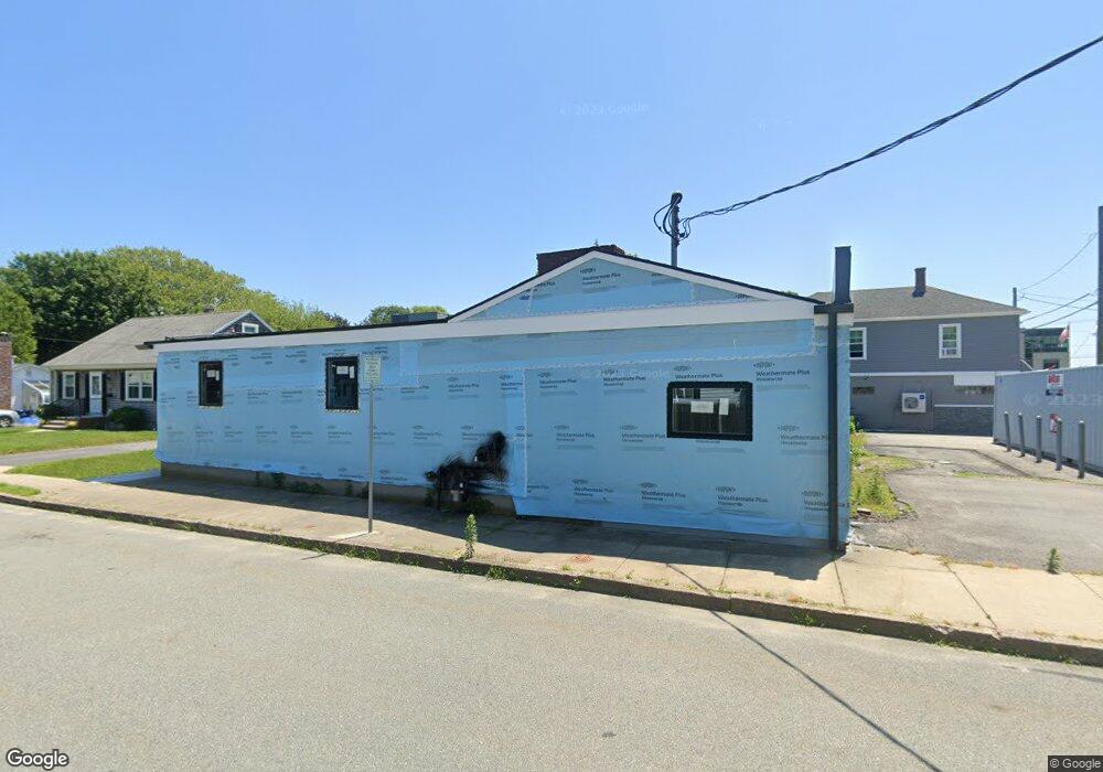
30 Brock Ave New Bedford, MA 02744
The South End Neighborhood
--
Bed
--
Bath
6,336
Sq Ft
5,663
Sq Ft Lot
About This Home
This home is located at 30 Brock Ave, New Bedford, MA 02744. 30 Brock Ave is a home located in Bristol County with nearby schools including William H. Taylor Elementary School, Roosevelt Middle School, and New Bedford High School.
Ownership History
Date
Name
Owned For
Owner Type
Purchase Details
Closed on
Sep 21, 2021
Sold by
Stellato John M and Lorenco Peter K
Bought by
Chucks Brock Avenue Llc
Purchase Details
Closed on
Jan 29, 1999
Sold by
Pimentel Edmond D
Bought by
Stellato John M and Lorenco Peter K
Home Financials for this Owner
Home Financials are based on the most recent Mortgage that was taken out on this home.
Original Mortgage
$80,000
Interest Rate
6.67%
Mortgage Type
Commercial
Create a Home Valuation Report for This Property
The Home Valuation Report is an in-depth analysis detailing your home's value as well as a comparison with similar homes in the area
Home Values in the Area
Average Home Value in this Area
Purchase History
| Date | Buyer | Sale Price | Title Company |
|---|---|---|---|
| Chucks Brock Avenue Llc | $100,000 | None Available | |
| Chucks Brock Avenue Llc | $100,000 | None Available | |
| Chucks Brock Avenue Llc | $100,000 | None Available | |
| Stellato John M | $150,000 | -- | |
| Stellato John M | $150,000 | -- |
Source: Public Records
Mortgage History
| Date | Status | Borrower | Loan Amount |
|---|---|---|---|
| Previous Owner | Stellato John M | $80,000 |
Source: Public Records
Tax History Compared to Growth
Tax History
| Year | Tax Paid | Tax Assessment Tax Assessment Total Assessment is a certain percentage of the fair market value that is determined by local assessors to be the total taxable value of land and additions on the property. | Land | Improvement |
|---|---|---|---|---|
| 2025 | $8,025 | $351,200 | $102,900 | $248,300 |
| 2024 | $8,908 | $356,900 | $102,900 | $254,000 |
| 2023 | $9,708 | $324,900 | $85,800 | $239,100 |
| 2022 | $10,512 | $313,700 | $81,500 | $232,200 |
| 2021 | $10,136 | $309,400 | $77,200 | $232,200 |
| 2020 | $10,393 | $309,400 | $77,200 | $232,200 |
| 2019 | $10,480 | $300,800 | $77,200 | $223,600 |
| 2018 | $10,724 | $300,800 | $77,200 | $223,600 |
| 2017 | $10,762 | $298,700 | $75,100 | $223,600 |
| 2016 | $9,714 | $271,100 | $75,100 | $196,000 |
| 2015 | $9,098 | $271,100 | $75,100 | $196,000 |
| 2014 | $8,379 | $269,600 | $77,200 | $192,400 |
Source: Public Records
Map
Nearby Homes
- 102 Seymour St
- 25 Brock Ave
- 25 Brock Ave Unit 9
- 25 Brock Ave Unit 1
- 29 Brock Ave Unit 2
- 29 Brock Ave Unit 9
- 31 Brock Ave Unit 3
- 26 Brock Ave
- 46 Brock Ave
- 33 Brock Ave Unit 4
- 33 Brock Ave Unit 7
- 35 Brock Ave Unit 5
- 861 S Rodney French Blvd
- 101 Seymour St
- 96 Seymour St
- 39 Brock Ave Unit 6
- 41 Brock Ave Unit 7
- 45 Brock Ave Unit 8
- 45 Brock Ave Unit 10
- 45 Brock Ave Unit 7