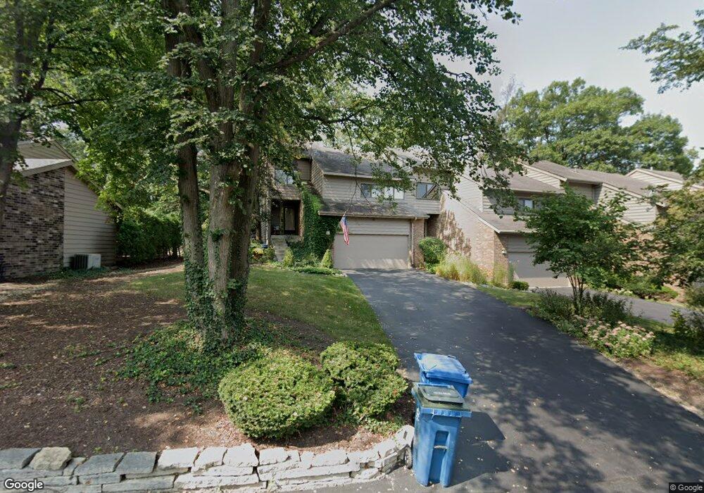
30 Brook Ln Palos Park, IL 60464
Ishnala NeighborhoodEstimated Value: $377,869 - $431,000
4
Beds
3
Baths
2,454
Sq Ft
$161/Sq Ft
Est. Value
About This Home
This home is located at 30 Brook Ln, Palos Park, IL 60464 and is currently estimated at $394,467, approximately $160 per square foot. 30 Brook Ln is a home located in Cook County with nearby schools including Palos East Elementary School, Palos South Middle School, and Amos Alonzo Stagg High School.
Ownership History
Date
Name
Owned For
Owner Type
Purchase Details
Closed on
Jul 23, 2018
Sold by
Koch Dale J and Koch Pamela M
Bought by
Scherer John F and Thinakaran Vasugi
Current Estimated Value
Home Financials for this Owner
Home Financials are based on the most recent Mortgage that was taken out on this home.
Original Mortgage
$200,000
Outstanding Balance
$174,728
Interest Rate
4.87%
Mortgage Type
New Conventional
Estimated Equity
$219,739
Create a Home Valuation Report for This Property
The Home Valuation Report is an in-depth analysis detailing your home's value as well as a comparison with similar homes in the area
Home Values in the Area
Average Home Value in this Area
Purchase History
| Date | Buyer | Sale Price | Title Company |
|---|---|---|---|
| Scherer John F | $250,000 | Fidelity National Title |
Source: Public Records
Mortgage History
| Date | Status | Borrower | Loan Amount |
|---|---|---|---|
| Open | Scherer John F | $200,000 |
Source: Public Records
Tax History Compared to Growth
Tax History
| Year | Tax Paid | Tax Assessment Tax Assessment Total Assessment is a certain percentage of the fair market value that is determined by local assessors to be the total taxable value of land and additions on the property. | Land | Improvement |
|---|---|---|---|---|
| 2024 | $8,100 | $33,000 | $963 | $32,037 |
| 2023 | $7,666 | $33,000 | $963 | $32,037 |
| 2022 | $7,666 | $25,474 | $3,019 | $22,455 |
| 2021 | $7,109 | $25,472 | $3,018 | $22,454 |
| 2020 | $6,851 | $25,472 | $3,018 | $22,454 |
| 2019 | $7,357 | $28,205 | $2,761 | $25,444 |
| 2018 | $7,140 | $28,205 | $2,761 | $25,444 |
| 2017 | $5,433 | $28,205 | $2,761 | $25,444 |
| 2016 | $7,754 | $29,094 | $2,376 | $26,718 |
| 2015 | $6,976 | $29,094 | $2,376 | $26,718 |
| 2014 | $6,910 | $29,094 | $2,376 | $26,718 |
| 2013 | $5,834 | $26,542 | $2,376 | $24,166 |
Source: Public Records
Map
Nearby Homes
- 11923 Southwest Hwy
- 8322 W 123rd St
- 12514 S 84th Ave
- 52 Parliament Dr W Unit 127
- 7900 W 127th St
- 48 Parliament Dr W Unit 132
- 13010 S 85th Ave
- 19 W Bay Rd
- 11556 S Alpine Ave
- 12713 S 80th Ave
- 12626 S London Ln Unit 2
- 11537 Autobahn Dr E Unit 101
- 12332 S Richard Ave
- 12811 S 82nd Ct
- 8714 W 123rd St
- 1 Moorings Dr
- 11920 S 74th Ave
- 12905 S 82nd Ct
- 12314 S 88th Ave
- 11950 S 73rd Ct