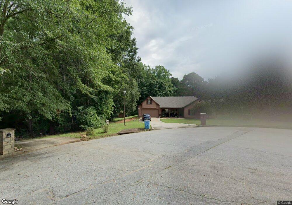
30 Brookside Cir Covington, GA 30016
Estimated Value: $239,782 - $264,000
Studio
2
Baths
1,826
Sq Ft
$137/Sq Ft
Est. Value
About This Home
This home is located at 30 Brookside Cir, Covington, GA 30016 and is currently estimated at $249,446, approximately $136 per square foot. 30 Brookside Cir is a home located in Newton County with nearby schools including South Salem Elementary School, Liberty Middle School, and Newton High School.
Ownership History
Date
Name
Owned For
Owner Type
Purchase Details
Closed on
Jun 8, 2005
Sold by
Mooney Andrew T and Mooney Lokey
Bought by
Johnson Zanetta Y
Current Estimated Value
Home Financials for this Owner
Home Financials are based on the most recent Mortgage that was taken out on this home.
Original Mortgage
$65,000
Outstanding Balance
$40,845
Interest Rate
9.45%
Mortgage Type
New Conventional
Estimated Equity
$208,601
Purchase Details
Closed on
Nov 1, 1995
Sold by
Walker Tracy L Carol J
Bought by
Mooney Andrew T Lokey P
Create a Home Valuation Report for This Property
The Home Valuation Report is an in-depth analysis detailing your home's value as well as a comparison with similar homes in the area
Home Values in the Area
Average Home Value in this Area
Purchase History
| Date | Buyer | Sale Price | Title Company |
|---|---|---|---|
| Johnson Zanetta Y | $124,900 | -- | |
| Mooney Andrew T Lokey P | $83,500 | -- |
Source: Public Records
Mortgage History
| Date | Status | Borrower | Loan Amount |
|---|---|---|---|
| Open | Johnson Zanetta Y | $65,000 | |
| Closed | Mooney Andrew T Lokey P | $0 |
Source: Public Records
Tax History Compared to Growth
Tax History
| Year | Tax Paid | Tax Assessment Tax Assessment Total Assessment is a certain percentage of the fair market value that is determined by local assessors to be the total taxable value of land and additions on the property. | Land | Improvement |
|---|---|---|---|---|
| 2025 | $2,400 | $101,600 | $15,200 | $86,400 |
| 2024 | $2,315 | $94,040 | $15,200 | $78,840 |
| 2023 | $2,587 | $98,080 | $7,200 | $90,880 |
| 2022 | $1,923 | $73,640 | $7,200 | $66,440 |
| 2021 | $1,781 | $61,600 | $7,200 | $54,400 |
| 2020 | $1,898 | $59,520 | $7,200 | $52,320 |
| 2019 | $1,761 | $54,680 | $7,200 | $47,480 |
| 2018 | $1,705 | $52,720 | $7,200 | $45,520 |
| 2017 | $1,466 | $45,760 | $6,000 | $39,760 |
| 2016 | $1,262 | $39,800 | $3,800 | $36,000 |
| 2015 | $1,143 | $36,280 | $3,400 | $32,880 |
| 2014 | $1,107 | $35,280 | $0 | $0 |
Source: Public Records
Map
Nearby Homes
- 125 Buck Creek Dr
- 110 Halibut Cir
- 4681 Salem Rd
- 419993 St Annes Place
- 140 St Annes Place
- 30 Vermillion Way
- Radcliffe Plan at Westminster
- Horizon Plan at Westminster
- Zoey II Plan at Westminster
- Millhaven Plan at Westminster
- Reagan Plan at Westminster
- Conner Plan at Westminster
- Everest III Plan at Westminster
- 205 Tulip Dr
- 165 Tulip Dr
- 40 Brickstone Pkwy
- 85 Mary Jane Ln
- 128 St Annes Place
- 149 St Annes Place
- 134 St Annes Place
- 95 Oak View Dr
- 105 Oak View Dr
- 125 Oak View Dr
- 40 Brookside Cir
- 35 Brookside Cir
- 25 Brookside Cir
- 75 Oak View Dr
- 115 Oak View Dr
- 135 Oak View Dr
- 90 Oak View Dr
- 90 Oak View Dr Unit 9
- 100 Oak View Dr
- 100 Oak View Dr Unit 10
- 110 Oak View Dr
- 205 Oak View Dr
- 170 Buck Creek Dr
- 160 Buck Creek Dr Unit 2
- 80 Oak View Dr
- 120 Oak View Dr
- 180 Buck Creek Dr