30 Brookside Dr North Java, NY 14113
Estimated Value: $265,000 - $281,353
3
Beds
3
Baths
2,604
Sq Ft
$105/Sq Ft
Est. Value
About This Home
This home is located at 30 Brookside Dr, North Java, NY 14113 and is currently estimated at $272,838, approximately $104 per square foot. 30 Brookside Dr is a home located in Wyoming County with nearby schools including Attica Elementary School, Attica Junior High School, and Attica Senior High School.
Ownership History
Date
Name
Owned For
Owner Type
Purchase Details
Closed on
Sep 27, 2019
Sold by
Campagna Leo M
Bought by
Hoffman Bradley E and Kaminsky Amanda M
Current Estimated Value
Home Financials for this Owner
Home Financials are based on the most recent Mortgage that was taken out on this home.
Original Mortgage
$106,000
Outstanding Balance
$91,837
Interest Rate
3.4%
Mortgage Type
Stand Alone Refi Refinance Of Original Loan
Estimated Equity
$181,001
Purchase Details
Closed on
Nov 16, 2010
Sold by
George Stephen
Bought by
George Brandon
Create a Home Valuation Report for This Property
The Home Valuation Report is an in-depth analysis detailing your home's value as well as a comparison with similar homes in the area
Home Values in the Area
Average Home Value in this Area
Purchase History
| Date | Buyer | Sale Price | Title Company |
|---|---|---|---|
| Hoffman Bradley E | -- | -- | |
| George Brandon | $112,500 | Jeffrey Erickson | |
| George Brandon | $112,500 | Jeffrey Erickson |
Source: Public Records
Mortgage History
| Date | Status | Borrower | Loan Amount |
|---|---|---|---|
| Open | Hoffman Bradley E | $106,000 |
Source: Public Records
Tax History
| Year | Tax Paid | Tax Assessment Tax Assessment Total Assessment is a certain percentage of the fair market value that is determined by local assessors to be the total taxable value of land and additions on the property. | Land | Improvement |
|---|---|---|---|---|
| 2024 | $4,542 | $169,900 | $15,900 | $154,000 |
| 2023 | $45 | $169,900 | $15,900 | $154,000 |
| 2022 | $4,529 | $169,900 | $15,900 | $154,000 |
| 2021 | $4,570 | $161,000 | $12,400 | $148,600 |
| 2020 | $4,673 | $161,000 | $12,400 | $148,600 |
| 2019 | $3,249 | $161,000 | $12,400 | $148,600 |
| 2018 | $4,341 | $161,000 | $12,400 | $148,600 |
| 2017 | $4,626 | $137,100 | $6,900 | $130,200 |
| 2016 | $4,620 | $137,100 | $6,900 | $130,200 |
| 2015 | -- | $137,100 | $6,900 | $130,200 |
| 2014 | -- | $137,100 | $6,900 | $130,200 |
Source: Public Records
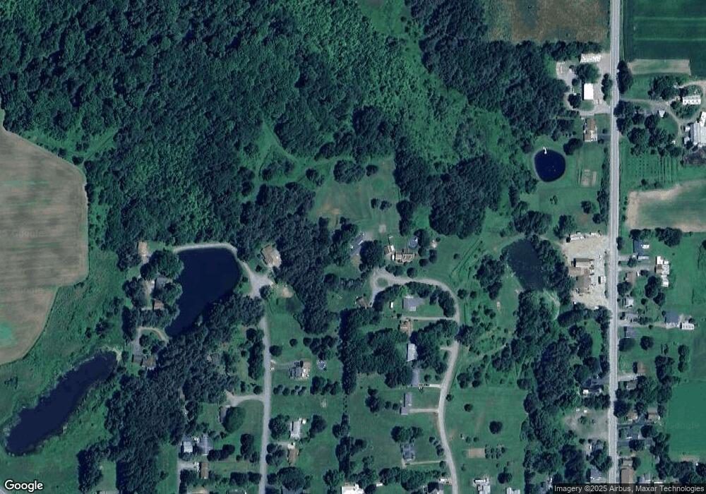
Map
Nearby Homes
- 4258 New York 98
- 3974 New York 78
- 1631 New York 98
- 0 Syler Rd
- 153 Lake View Dr
- 64 Summerset Dr
- 0 V L Syler Rd
- 3436 Dunham Rd
- 681 Perry Rd
- 5082 Poplar Tree Rd
- 3561 Dutch Hollow Rd
- 2956 Valley View Ln
- 742 Centerline Rd
- 0 Orangeville Center Rd Unit B1664866
- 2780 Buffalo Rd
- 680 Centerline Rd
- 6451 Java Lake Rd
- 6111 New York 362
- 811 Route 20a
- VL Genesee Rd
- 30 Brookside Dr
- 31 Brookside Dr
- 28 Brookside Dr
- 0 Brookside Dr
- 0 Brookside Dr Unit B446686
- 0 Brookside Dr Unit B469063
- 0 Brookside Dr Unit B493571
- 0 Brookside Dr Unit B499912
- 0 Brookside Dr Unit B1031986
- 7 Maiden Ln
- 26 Brookside Dr
- 25 Brookside Dr
- 4 Maiden Ln
- 24 Brookside Dr
- 23 Brookside Dr
- 2 Maiden Ln
- 13 Pinecrest Dr
- 17 Pinecrest Dr
- 10 Maiden Ln
- 20 Pinecrest Dr
Your Personal Tour Guide
Ask me questions while you tour the home.