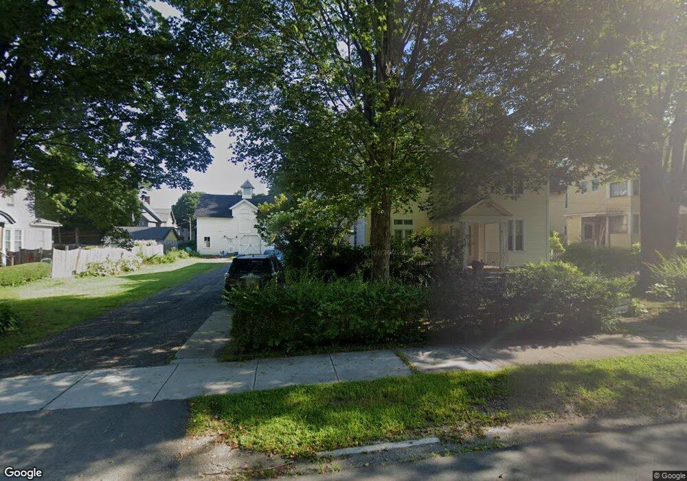
30 Buel St Pittsfield, MA 01201
Estimated Value: $294,000 - $374,000
6
Beds
3
Baths
2,925
Sq Ft
$116/Sq Ft
Est. Value
About This Home
This home is located at 30 Buel St, Pittsfield, MA 01201 and is currently estimated at $340,252, approximately $116 per square foot. 30 Buel St is a home located in Berkshire County with nearby schools including Crosby Elementary School, John T. Reid Middle School, and Taconic High School.
Ownership History
Date
Name
Owned For
Owner Type
Purchase Details
Closed on
Oct 25, 2004
Sold by
Sockey E William
Bought by
Noren Diann M
Current Estimated Value
Purchase Details
Closed on
Dec 15, 1998
Sold by
Blagdon Christopher E and Blagdon Diane K
Bought by
Sockey E William and Sockey Joan C
Home Financials for this Owner
Home Financials are based on the most recent Mortgage that was taken out on this home.
Original Mortgage
$113,000
Interest Rate
6.8%
Mortgage Type
Purchase Money Mortgage
Create a Home Valuation Report for This Property
The Home Valuation Report is an in-depth analysis detailing your home's value as well as a comparison with similar homes in the area
Home Values in the Area
Average Home Value in this Area
Purchase History
| Date | Buyer | Sale Price | Title Company |
|---|---|---|---|
| Noren Diann M | $193,000 | -- | |
| Noren Diann M | $193,000 | -- | |
| Noren Diann M | $193,000 | -- | |
| Sockey E William | $113,000 | -- | |
| Sockey E William E | $113,000 | -- |
Source: Public Records
Mortgage History
| Date | Status | Borrower | Loan Amount |
|---|---|---|---|
| Previous Owner | Sockey E William E | $113,000 | |
| Previous Owner | Sockey E William E | $12,000 |
Source: Public Records
Tax History Compared to Growth
Tax History
| Year | Tax Paid | Tax Assessment Tax Assessment Total Assessment is a certain percentage of the fair market value that is determined by local assessors to be the total taxable value of land and additions on the property. | Land | Improvement |
|---|---|---|---|---|
| 2025 | $5,149 | $287,000 | $60,200 | $226,800 |
| 2024 | $4,688 | $254,100 | $60,200 | $193,900 |
| 2023 | $4,245 | $231,700 | $54,700 | $177,000 |
| 2022 | $4,096 | $220,700 | $54,700 | $166,000 |
| 2021 | $4,087 | $212,300 | $54,700 | $157,600 |
| 2020 | $4,001 | $203,000 | $50,700 | $152,300 |
| 2019 | $3,709 | $191,000 | $42,700 | $148,300 |
| 2018 | $3,684 | $184,100 | $42,700 | $141,400 |
| 2017 | $3,641 | $185,500 | $47,700 | $137,800 |
| 2016 | $3,508 | $187,000 | $47,700 | $139,300 |
| 2015 | $3,377 | $187,000 | $47,700 | $139,300 |
Source: Public Records
Map
Nearby Homes
- 31 Henry Ave
- 247 South St
- 92 W Housatonic St
- 68 Colt Rd
- 96 Boylston St
- 50 W Housatonic St
- 121 Wendell Ave
- 20, 26, 30 E Housatonic St
- 79 Center St
- 89 Crofut St
- 133 Pomeroy Ave
- 200 W Housatonic St Unit 16
- 71 S Church St Unit S102
- 61 Pomeroy Ave
- 261 Pomeroy Ave
- 55 Pomeroy Ave Unit 6
- 28 Mckinley Terrace
- 18 Velma Ave
- 32 Velma Ave
- 48 Copley Terrace