30 Burgess Point Rd Wareham, MA 02571
Estimated Value: $960,000 - $1,854,000
4
Beds
5
Baths
2,917
Sq Ft
$525/Sq Ft
Est. Value
About This Home
This home is located at 30 Burgess Point Rd, Wareham, MA 02571 and is currently estimated at $1,531,373, approximately $524 per square foot. 30 Burgess Point Rd is a home located in Plymouth County.
Ownership History
Date
Name
Owned For
Owner Type
Purchase Details
Closed on
Nov 14, 2016
Sold by
Antin Joseph H
Bought by
Antin Joseph H and Homan-Antin Jane
Current Estimated Value
Purchase Details
Closed on
May 7, 2010
Sold by
Johnson Gregory and Johnson Nancy
Bought by
Antin Joseph H
Create a Home Valuation Report for This Property
The Home Valuation Report is an in-depth analysis detailing your home's value as well as a comparison with similar homes in the area
Home Values in the Area
Average Home Value in this Area
Purchase History
| Date | Buyer | Sale Price | Title Company |
|---|---|---|---|
| Antin Joseph H | -- | -- | |
| Antin Joseph H | -- | -- | |
| Antin Joseph H | $1,230,000 | -- | |
| Antin Joseph H | $1,230,000 | -- |
Source: Public Records
Mortgage History
| Date | Status | Borrower | Loan Amount |
|---|---|---|---|
| Previous Owner | Antin Joseph H | $400,000 | |
| Previous Owner | Antin Joseph H | $125,000 | |
| Previous Owner | Antin Joseph H | $93,000 |
Source: Public Records
Tax History Compared to Growth
Tax History
| Year | Tax Paid | Tax Assessment Tax Assessment Total Assessment is a certain percentage of the fair market value that is determined by local assessors to be the total taxable value of land and additions on the property. | Land | Improvement |
|---|---|---|---|---|
| 2025 | $15,188 | $1,457,600 | $653,800 | $803,800 |
| 2024 | $14,169 | $1,261,700 | $471,900 | $789,800 |
| 2023 | $13,046 | $1,136,100 | $432,000 | $704,100 |
| 2022 | $13,046 | $989,800 | $414,900 | $574,900 |
| 2021 | $13,006 | $967,000 | $414,900 | $552,100 |
| 2020 | $12,520 | $944,200 | $414,900 | $529,300 |
| 2019 | $14,571 | $1,096,400 | $607,700 | $488,700 |
| 2018 | $13,999 | $1,027,100 | $607,700 | $419,400 |
| 2017 | $13,582 | $1,009,800 | $607,700 | $402,100 |
| 2016 | $13,699 | $1,012,500 | $636,400 | $376,100 |
| 2015 | $13,832 | $1,058,300 | $682,200 | $376,100 |
| 2014 | $12,098 | $941,500 | $589,600 | $351,900 |
Source: Public Records
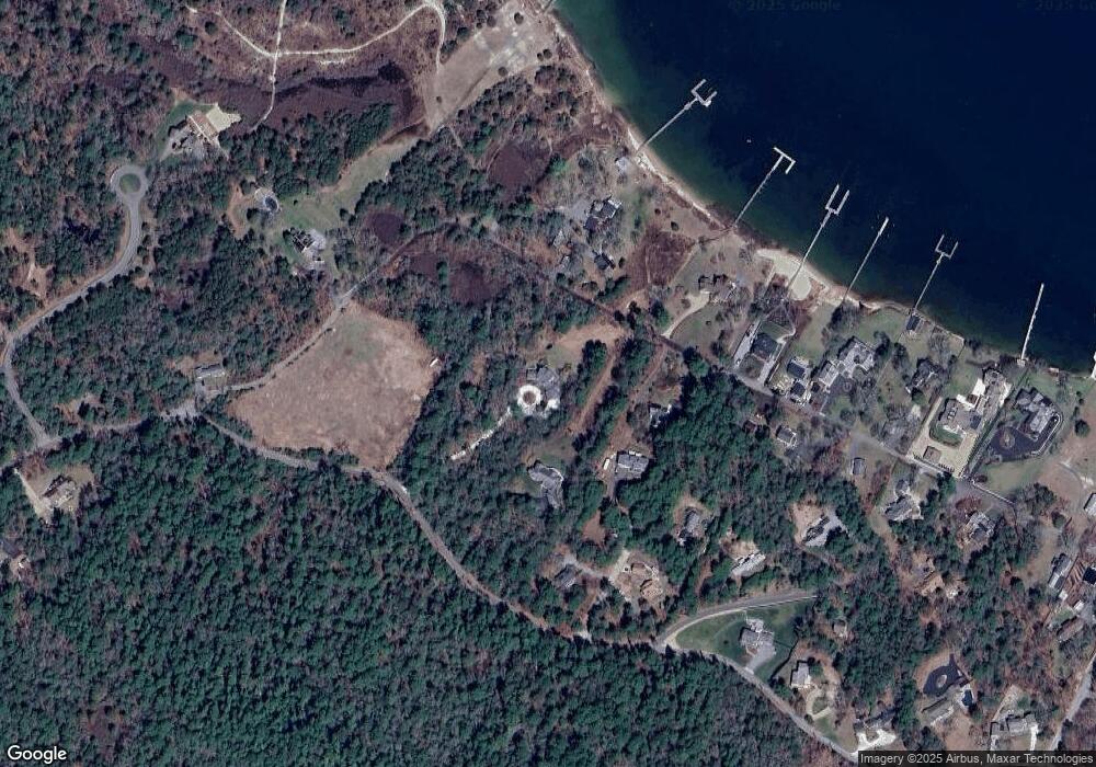
Map
Nearby Homes
- 46 Winship Ave
- 200 Great Neck Rd
- 14 Over Jordan Rd
- 8 Over Jordan Rd
- 10 Over Jordan Rd
- 45 Kins Ct
- 46 Kins Ct
- 38 Amos Way
- 6 Beacon St Unit 79
- 52 Starboard Dr Unit 36H
- 17 5th St
- 8 Beacon St Unit 80
- 12 Grove St
- 10 Beacon St Unit 83
- 17 Carleton St Unit 17
- 9 10th St
- 65 Great Neck Rd
- 26 Highland Ave
- 12 Beacon St Unit 84
- 35 Locust St
- 36 Burgess Point Rd
- 31 Winship Ave
- 4 Checkerberry Ln
- 28 Winship Ave
- 18 Winship Ave
- 3 Checkerberry Ln
- 2 Checkerberry Ln
- 35 Winship Ave
- 34 Winship Ave
- 1 Checkerberry Ln
- 36 Winship Ave
- 71 Burgess Point Rd
- 37 Winship Ave
- 4 Boat House Dr
- 16 Winship Ave
- 6 Boat House Dr
- 38 Winship Ave
- 41 Winship Ave
- 1 Boat House Dr
- 18 Burgess Point Rd