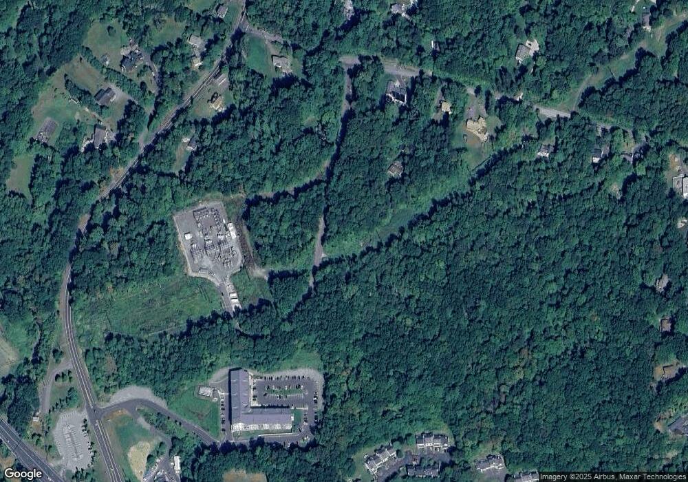
30 Camille Ln Canton, CT 06019
Canton NeighborhoodEstimated Value: $347,000 - $391,000
2
Beds
2
Baths
1,650
Sq Ft
$221/Sq Ft
Est. Value
About This Home
This home is located at 30 Camille Ln, Canton, CT 06019 and is currently estimated at $364,660, approximately $221 per square foot. 30 Camille Ln is a home located in Hartford County with nearby schools including Cherry Brook Primary School, Canton Intermediate School, and Canton Middle School.
Ownership History
Date
Name
Owned For
Owner Type
Purchase Details
Closed on
Sep 15, 2016
Sold by
Nelson Linda E
Bought by
Alfred Mcgunnigle Ret
Current Estimated Value
Purchase Details
Closed on
Jan 17, 1997
Sold by
Casale John and Casale Connie
Bought by
Nelson Linda
Home Financials for this Owner
Home Financials are based on the most recent Mortgage that was taken out on this home.
Original Mortgage
$120,650
Interest Rate
7.36%
Mortgage Type
Unknown
Purchase Details
Closed on
Feb 13, 1992
Sold by
Cantonbury Hts Assoc
Bought by
Casale John and Casale Connie
Create a Home Valuation Report for This Property
The Home Valuation Report is an in-depth analysis detailing your home's value as well as a comparison with similar homes in the area
Home Values in the Area
Average Home Value in this Area
Purchase History
Date | Buyer | Sale Price | Title Company |
---|---|---|---|
Alfred Mcgunnigle Ret | $215,500 | -- | |
Nelson Linda | $127,000 | -- | |
Casale John | $165,000 | -- | |
Casale John | $165,000 | -- |
Source: Public Records
Mortgage History
Date | Status | Borrower | Loan Amount |
---|---|---|---|
Open | Aldred Mcgunnigle Ret | $100,000 | |
Previous Owner | Casale John | $125,000 | |
Previous Owner | Casale John | $149,000 | |
Previous Owner | Casale John | $120,650 |
Source: Public Records
Tax History Compared to Growth
Tax History
Year | Tax Paid | Tax Assessment Tax Assessment Total Assessment is a certain percentage of the fair market value that is determined by local assessors to be the total taxable value of land and additions on the property. | Land | Improvement |
---|---|---|---|---|
2024 | $8,603 | $251,920 | $0 | $251,920 |
2023 | $5,120 | $144,760 | $0 | $144,760 |
2022 | $4,877 | $144,760 | $0 | $144,760 |
2021 | $4,809 | $144,760 | $0 | $144,760 |
2020 | $4,718 | $144,760 | $0 | $144,760 |
2019 | $4,637 | $144,760 | $0 | $144,760 |
2018 | $4,326 | $140,910 | $0 | $140,910 |
2017 | $4,296 | $140,910 | $0 | $140,910 |
2016 | $4,193 | $140,910 | $0 | $140,910 |
2015 | $4,113 | $140,910 | $0 | $140,910 |
2014 | $4,024 | $140,910 | $0 | $140,910 |
Source: Public Records
Map
Nearby Homes
- 17 Brookview Cir Unit 17
- 128 Winterbourne Ln
- 24 Old Line Ln Unit 24
- 2 Woodland Dr
- 19 Village Ln
- 50 E Hill Rd Unit 3K
- 125 Morgan Rd
- 48 Dyer Ave
- 36 Dyer Ave
- 30 Dowd Ave
- 40 Wilders Pass
- 35 High St
- 47 Pheasant Hill Rd
- 15 Meadowview Ct
- 243 E Hill Rd
- 7 Livingston Rd
- 450 Dowd Ave
- 474 Dowd Ave
- 454 Dowd Ave
- 20 High Hill Rd