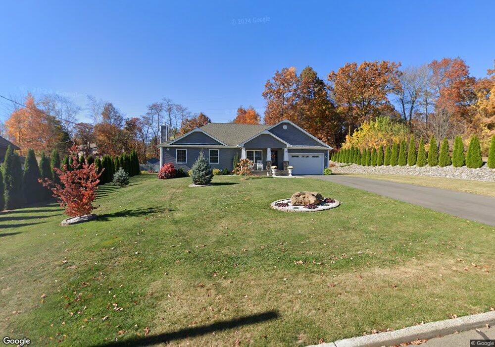
30 Canal St New Britain, CT 06052
Estimated Value: $317,000 - $388,000
3
Beds
2
Baths
1,232
Sq Ft
$289/Sq Ft
Est. Value
About This Home
This home is located at 30 Canal St, New Britain, CT 06052 and is currently estimated at $356,034, approximately $288 per square foot. 30 Canal St is a home located in Hartford County with nearby schools including Lincoln School, Slade Middle School, and Raymond Hill School.
Ownership History
Date
Name
Owned For
Owner Type
Purchase Details
Closed on
Apr 20, 2016
Sold by
Oak Land Developers Ll
Bought by
Sztachelski Radek and Stavidlo Aneta
Current Estimated Value
Purchase Details
Closed on
Dec 4, 2015
Sold by
Fandacone Joyce
Bought by
Oak Land Developers Llc
Purchase Details
Closed on
Aug 11, 1994
Sold by
Manafort Frank G and Manafort Loretta B
Bought by
Fandacone Joyce
Create a Home Valuation Report for This Property
The Home Valuation Report is an in-depth analysis detailing your home's value as well as a comparison with similar homes in the area
Home Values in the Area
Average Home Value in this Area
Purchase History
| Date | Buyer | Sale Price | Title Company |
|---|---|---|---|
| Sztachelski Radek | $30,000 | -- | |
| Oak Land Developers Llc | $20,000 | -- | |
| Fandacone Joyce | $27,500 | -- |
Source: Public Records
Tax History Compared to Growth
Tax History
| Year | Tax Paid | Tax Assessment Tax Assessment Total Assessment is a certain percentage of the fair market value that is determined by local assessors to be the total taxable value of land and additions on the property. | Land | Improvement |
|---|---|---|---|---|
| 2025 | $8,483 | $216,510 | $68,250 | $148,260 |
| 2024 | $8,572 | $216,510 | $68,250 | $148,260 |
| 2023 | $8,288 | $216,510 | $68,250 | $148,260 |
| 2022 | $7,536 | $152,250 | $31,430 | $120,820 |
| 2021 | $7,536 | $152,250 | $31,430 | $120,820 |
| 2020 | $7,689 | $152,250 | $31,430 | $120,820 |
| 2019 | $7,689 | $152,250 | $31,430 | $120,820 |
| 2018 | $7,653 | $151,550 | $31,430 | $120,120 |
| 2017 | $5,893 | $116,690 | $32,060 | $84,630 |
| 2016 | $1,619 | $32,060 | $32,060 | $0 |
| 2015 | $1,571 | $32,060 | $32,060 | $0 |
| 2014 | $1,571 | $32,060 | $32,060 | $0 |
Source: Public Records
Map
Nearby Homes
- 28 Weigands Dr
- 78 Victoria Rd
- 106 Barnes St
- 71 Pennsylvania Ave
- 149 Pennsylvania Ave Unit 151
- 33 Colt St
- 565 Lincoln St
- 96 Garden St
- 212 Lincoln St
- 423 Monroe St
- 817 W Main St
- 112 Lincoln St
- 30 Westerly St
- 43 Westerly St
- 66 Lincoln St
- 23 Ledyard Rd
- 256 Hart St
- 73 Brooklawn St
- 62 Cedarwood Rd
- 76 N Mountain Rd Unit B
- 20 Canal St
- 255 Birchwood Dr
- 25 Canal St
- 10 Canal St
- 42 Pond View Rd
- 245 Birchwood Dr
- 7 Canal St
- 232 Birchwood Dr
- 235 Birchwood Dr
- 93 Wiegands Dr
- 93 Weigands Dr
- 110 Weigands Dr
- 222 Birchwood Dr
- 225 Birchwood Dr
- 83 Weigands Dr
- 104 Weigands Dr
- 212 Birchwood Dr
- 215 Birchwood Dr
- 28 Pond View Rd
- 94 Weigands Dr