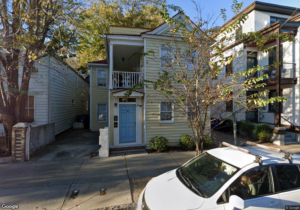
30 Cannon St Charleston, SC 29403
Cannonborough-Elliotborough NeighborhoodEstimated Value: $929,000 - $1,747,000
4
Beds
2
Baths
1,794
Sq Ft
$787/Sq Ft
Est. Value
About This Home
This home is located at 30 Cannon St, Charleston, SC 29403 and is currently estimated at $1,411,844, approximately $786 per square foot. 30 Cannon St is a home located in Charleston County with nearby schools including Mitchell Elementary School, James Simons Elementary School, and Simmons Pinckney Middle.
Ownership History
Date
Name
Owned For
Owner Type
Purchase Details
Closed on
Apr 8, 2009
Sold by
A Frame Llc
Bought by
Lynch Lance R
Current Estimated Value
Home Financials for this Owner
Home Financials are based on the most recent Mortgage that was taken out on this home.
Original Mortgage
$337,500
Outstanding Balance
$214,611
Interest Rate
5.05%
Mortgage Type
Unknown
Estimated Equity
$1,197,233
Purchase Details
Closed on
Dec 6, 2001
Sold by
Okuda Scott
Bought by
Hill William
Purchase Details
Closed on
Sep 28, 2000
Sold by
Reavis George M and Nelson Hunter Nelson
Bought by
Okuda Scott and Garvin David
Purchase Details
Closed on
Jun 27, 2000
Sold by
Pierce Justin
Bought by
Reavis George M and Pierce Hunter Nelson
Create a Home Valuation Report for This Property
The Home Valuation Report is an in-depth analysis detailing your home's value as well as a comparison with similar homes in the area
Home Values in the Area
Average Home Value in this Area
Purchase History
| Date | Buyer | Sale Price | Title Company |
|---|---|---|---|
| Lynch Lance R | $450,000 | -- | |
| A Frame Llc | -- | -- | |
| Hill William | $7,000 | -- | |
| Okuda Scott | -- | -- | |
| Pierce Justin | -- | -- | |
| Reavis George M | -- | -- | |
| Pierce Justin | -- | -- |
Source: Public Records
Mortgage History
| Date | Status | Borrower | Loan Amount |
|---|---|---|---|
| Open | A Frame Llc | $337,500 |
Source: Public Records
Tax History Compared to Growth
Tax History
| Year | Tax Paid | Tax Assessment Tax Assessment Total Assessment is a certain percentage of the fair market value that is determined by local assessors to be the total taxable value of land and additions on the property. | Land | Improvement |
|---|---|---|---|---|
| 2024 | $10,011 | $31,050 | $0 | $0 |
| 2023 | $9,016 | $31,050 | $0 | $0 |
| 2022 | $8,339 | $31,050 | $0 | $0 |
| 2021 | $8,237 | $31,050 | $0 | $0 |
| 2020 | $8,177 | $31,050 | $0 | $0 |
| 2019 | $7,473 | $27,000 | $0 | $0 |
| 2017 | $7,140 | $27,000 | $0 | $0 |
| 2016 | $6,909 | $27,000 | $0 | $0 |
| 2015 | $6,596 | $27,000 | $0 | $0 |
| 2014 | $6,151 | $0 | $0 | $0 |
| 2011 | -- | $0 | $0 | $0 |
Source: Public Records
Map
Nearby Homes
- 199 Saint Philip St Unit B
- 179 Saint Philip St Unit D And E
- 65 Spring St
- 197 Coming St
- 67 Spring St Unit A
- 69 Spring St Unit A & B
- 71 Spring St Unit A&B
- 190 Coming St
- 8 Felix St
- 39 Morris St
- 6 Ashe St
- 4 Bogard St
- 609 King St Unit 607
- 609 King St Unit 331
- 609 King St Unit 443
- 609 King St Unit 745
- 609 King St Unit 334
- 609 King St Unit 704
- 609 King St Unit 548
- 609 King St Unit 701
- 28 Cannon St Unit B
- 28 Cannon St Unit A
- 9 Brewster Ct
- 34 Cannon St
- 13 Brewster Ct
- 26 Cannon St Unit B
- 26 Cannon St Unit A
- 7 Brewster Ct
- 15 Brewster Ct
- 36 Cannon St
- 5 Brewster Ct
- 24 Cannon St Unit B
- 24 Cannon St Unit A
- 38 Cannon St
- 12 Brewster Ct
- 31 Cannon St
- 10 Brewster Ct
- 14 Brewster Ct
- 17 Brewster Ct
- 29 Cannon St