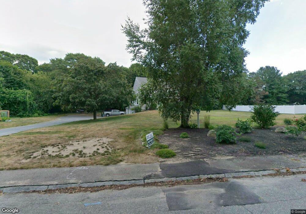
30 Capt Luther Little Way Marshfield, MA 02050
Estimated Value: $832,000 - $1,004,000
4
Beds
3
Baths
1,954
Sq Ft
$470/Sq Ft
Est. Value
About This Home
This home is located at 30 Capt Luther Little Way, Marshfield, MA 02050 and is currently estimated at $917,786, approximately $469 per square foot. 30 Capt Luther Little Way is a home with nearby schools including Eames Way School, Furnace Brook Middle School, and Marshfield High School.
Ownership History
Date
Name
Owned For
Owner Type
Purchase Details
Closed on
Aug 23, 2019
Sold by
Laffin Marcia
Bought by
Covell Michelle L and Laffin Joe A
Current Estimated Value
Home Financials for this Owner
Home Financials are based on the most recent Mortgage that was taken out on this home.
Original Mortgage
$400,000
Outstanding Balance
$349,565
Interest Rate
3.7%
Mortgage Type
New Conventional
Estimated Equity
$568,221
Purchase Details
Closed on
Nov 24, 2018
Sold by
Jung Dietrich Est
Bought by
Dietrich Jung Ft
Create a Home Valuation Report for This Property
The Home Valuation Report is an in-depth analysis detailing your home's value as well as a comparison with similar homes in the area
Home Values in the Area
Average Home Value in this Area
Purchase History
| Date | Buyer | Sale Price | Title Company |
|---|---|---|---|
| Covell Michelle L | $500,000 | -- | |
| Covell Michelle L | $500,000 | -- | |
| Dietrich Jung Ft | -- | -- | |
| Laffin Marcia | -- | -- | |
| Laffin Marcia | -- | -- | |
| Dietrich Jung Ft | -- | -- | |
| Dietrich Jung Ft | -- | -- |
Source: Public Records
Mortgage History
| Date | Status | Borrower | Loan Amount |
|---|---|---|---|
| Open | Covell Michelle L | $400,000 | |
| Closed | Covell Michelle L | $400,000 |
Source: Public Records
Tax History Compared to Growth
Tax History
| Year | Tax Paid | Tax Assessment Tax Assessment Total Assessment is a certain percentage of the fair market value that is determined by local assessors to be the total taxable value of land and additions on the property. | Land | Improvement |
|---|---|---|---|---|
| 2025 | $7,929 | $800,900 | $320,200 | $480,700 |
| 2024 | $7,682 | $739,400 | $304,900 | $434,500 |
| 2023 | $7,387 | $659,200 | $283,100 | $376,100 |
| 2022 | $7,387 | $570,400 | $250,500 | $319,900 |
| 2021 | $7,083 | $537,000 | $250,500 | $286,500 |
| 2020 | $6,764 | $507,400 | $228,700 | $278,700 |
| 2019 | $6,578 | $491,600 | $228,700 | $262,900 |
| 2018 | $6,503 | $486,400 | $228,700 | $257,700 |
| 2017 | $6,433 | $468,900 | $228,700 | $240,200 |
| 2016 | $6,286 | $452,900 | $228,700 | $224,200 |
| 2015 | $5,949 | $447,600 | $228,700 | $218,900 |
| 2014 | $5,872 | $441,800 | $228,700 | $213,100 |
Source: Public Records
Map
Nearby Homes
- 14 Capt Luther Little Way
- 50 Capt Luther Little Way
- 182 Cedar Acres Rd
- 1 Capt Luther Little Way
- 22 Warren Ave
- 12 Warren Ave
- 34 Warren Ave
- 190 Cedar Acres Rd
- 128 Summer St
- 174 Cedar Acres Rd
- 9 Cedar Acres Rd
- 112 Summer St
- 55 Capt Luther Little Way
- 106 Summer St
- 146 Summer St
- 43 Cedar Acres Rd
- 41 Warren Ave
- 173 Cedar Acres Rd
- 90 Summer St
- 119 Summer St