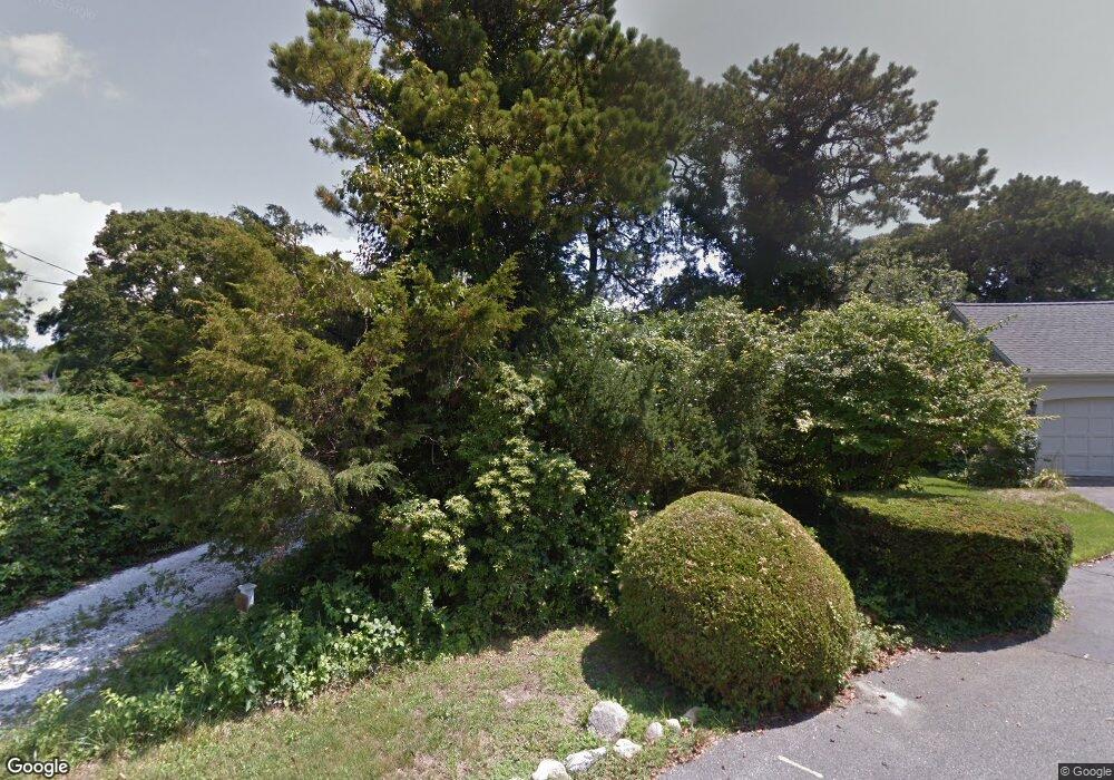
30 Captain Donald Path West Dennis, MA 02670
West Dennis NeighborhoodEstimated Value: $1,045,000 - $1,523,000
3
Beds
2
Baths
1,724
Sq Ft
$792/Sq Ft
Est. Value
About This Home
This home is located at 30 Captain Donald Path, West Dennis, MA 02670 and is currently estimated at $1,366,130, approximately $792 per square foot. 30 Captain Donald Path is a home located in Barnstable County with nearby schools including Dennis-Yarmouth Regional High School and St. Pius X. School.
Ownership History
Date
Name
Owned For
Owner Type
Purchase Details
Closed on
Oct 21, 2011
Sold by
Halverson Richard H
Bought by
Willey Gene T and Willey Bonnie L
Current Estimated Value
Purchase Details
Closed on
Jun 17, 2009
Sold by
Joyce Paul F and Joyce Ann Eileen
Bought by
Halvarson Richard
Purchase Details
Closed on
Jan 4, 2008
Sold by
Bullard Miriam N and Attea Paul J
Bought by
Halvarson Richard H
Create a Home Valuation Report for This Property
The Home Valuation Report is an in-depth analysis detailing your home's value as well as a comparison with similar homes in the area
Home Values in the Area
Average Home Value in this Area
Purchase History
| Date | Buyer | Sale Price | Title Company |
|---|---|---|---|
| Willey Gene T | $850,000 | -- | |
| Halvarson Richard | -- | -- | |
| Halvarson Richard | -- | -- | |
| Halvarson Richard | -- | -- | |
| Halvarson Richard H | $660,000 | -- |
Source: Public Records
Tax History Compared to Growth
Tax History
| Year | Tax Paid | Tax Assessment Tax Assessment Total Assessment is a certain percentage of the fair market value that is determined by local assessors to be the total taxable value of land and additions on the property. | Land | Improvement |
|---|---|---|---|---|
| 2025 | $6,005 | $1,386,800 | $723,400 | $663,400 |
| 2024 | $5,894 | $1,342,700 | $695,700 | $647,000 |
| 2023 | $5,725 | $1,225,900 | $639,800 | $586,100 |
| 2022 | $5,786 | $1,033,300 | $576,400 | $456,900 |
| 2021 | $24,318 | $989,600 | $565,100 | $424,500 |
| 2020 | $24,571 | $918,100 | $525,600 | $392,500 |
| 2019 | $5,608 | $908,900 | $515,400 | $393,500 |
| 2018 | $4,953 | $858,400 | $490,600 | $367,800 |
| 2017 | $5,223 | $849,300 | $490,600 | $358,700 |
| 2016 | $5,313 | $813,600 | $496,800 | $316,800 |
| 2015 | $5,207 | $813,600 | $496,800 | $316,800 |
| 2014 | $5,166 | $813,600 | $496,800 | $316,800 |
Source: Public Records
Map
Nearby Homes
- 428 Main St Unit 1-11
- 467 Main St
- 401 Main St Unit 201
- 401 Main St Unit 101
- 23 Doric Ave
- 209 Main St Unit 3
- 209 Main St Unit 6
- 209 Main St Unit 1
- 209 Main St Unit 2
- 209 Main St Unit 4
- 209 Main St Unit 5
- 14 Schoolhouse Ln
- 3 Pinefield Ln
- 178 School St
- 29 Bass River Rd
- 45 Seth Ln
- 61 Trotters Ln
- 26 Center St
- 15 Yenom Rd
- 116 N Main St
- 30 Capt Donalds Path
- 11 Cove Ln
- 22 Captain Donald Path
- 130 Cove Rd
- 9 Captain Donald Path
- 17 Cove Ln
- 7 Cove Ln
- 18 Captain Donald Path
- 3 Captain Donald Path
- 11 Capt Donald Point
- 11 Captain Donald Path
- 140 Cove Rd
- 3 Cove Ln
- 4 Stephen Ln
- 12 Captain Donald Path
- 8 Capt Donalds
- 8 Cove Ln
- 18 Cove Ln
- 14 Cove Ln
- 15 Captain Donald Path
