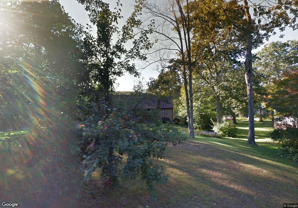
30 Catlin Rd Harwinton, CT 06791
Estimated Value: $508,000 - $538,000
2
Beds
3
Baths
1,582
Sq Ft
$334/Sq Ft
Est. Value
About This Home
This home is located at 30 Catlin Rd, Harwinton, CT 06791 and is currently estimated at $528,409, approximately $334 per square foot. 30 Catlin Rd is a home located in Litchfield County with nearby schools including Harwinton Consolidated School, Har-Bur Middle School, and Lewis S. Mills High School.
Ownership History
Date
Name
Owned For
Owner Type
Purchase Details
Closed on
Apr 12, 2002
Sold by
Landrette Joseph A and Landrette Sally P
Bought by
Buss James A and Buss Barbara M
Current Estimated Value
Home Financials for this Owner
Home Financials are based on the most recent Mortgage that was taken out on this home.
Original Mortgage
$150,000
Outstanding Balance
$59,146
Interest Rate
6.84%
Mortgage Type
Purchase Money Mortgage
Estimated Equity
$469,263
Purchase Details
Closed on
Jul 22, 1997
Sold by
Mute Salvador P and Mute Irene H
Bought by
Landrette Joseph A and Landrette Sally P
Home Financials for this Owner
Home Financials are based on the most recent Mortgage that was taken out on this home.
Original Mortgage
$165,000
Interest Rate
7.88%
Mortgage Type
Purchase Money Mortgage
Create a Home Valuation Report for This Property
The Home Valuation Report is an in-depth analysis detailing your home's value as well as a comparison with similar homes in the area
Home Values in the Area
Average Home Value in this Area
Purchase History
| Date | Buyer | Sale Price | Title Company |
|---|---|---|---|
| Buss James A | $300,000 | -- | |
| Buss James A | $300,000 | -- | |
| Landrette Joseph A | $110,500 | -- | |
| Landrette Joseph A | $110,500 | -- |
Source: Public Records
Mortgage History
| Date | Status | Borrower | Loan Amount |
|---|---|---|---|
| Open | Landrette Joseph A | $100,000 | |
| Open | Landrette Joseph A | $150,000 | |
| Closed | Landrette Joseph A | $150,000 | |
| Previous Owner | Landrette Joseph A | $165,000 |
Source: Public Records
Tax History
| Year | Tax Paid | Tax Assessment Tax Assessment Total Assessment is a certain percentage of the fair market value that is determined by local assessors to be the total taxable value of land and additions on the property. | Land | Improvement |
|---|---|---|---|---|
| 2025 | $7,090 | $308,260 | $128,210 | $180,050 |
| 2024 | $7,059 | $308,260 | $128,210 | $180,050 |
| 2023 | $6,345 | $217,280 | $91,570 | $125,710 |
| 2022 | $6,192 | $217,280 | $91,570 | $125,710 |
| 2021 | $6,236 | $217,280 | $91,570 | $125,710 |
| 2020 | $6,084 | $217,280 | $91,570 | $125,710 |
| 2019 | $6,084 | $217,280 | $91,570 | $125,710 |
| 2018 | $5,891 | $210,400 | $93,020 | $117,380 |
| 2017 | $5,849 | $210,400 | $93,020 | $117,380 |
| 2016 | $5,849 | $210,400 | $93,020 | $117,380 |
| 2015 | $5,744 | $210,400 | $93,020 | $117,380 |
| 2014 | $5,660 | $210,400 | $93,020 | $117,380 |
Source: Public Records
Map
Nearby Homes
- 151 Highview Dr
- 164 Birge Park Rd
- 32 Ridgewood Dr
- 65 Oak Meadow Ln Unit 65
- 21 South Rd
- 323 Highfield Dr
- 14 Hannah Way
- 23 Hannah Way
- 111 Oxbow Dr
- 272 Edgewood Dr
- 146 Highfield Dr
- 0 Torringford St W
- 336 Oak Ave
- 238 Barton St
- 83 Birge St
- 340 Hillside Ave
- 544 Litchfield Rd
- 660 Torringford St
- 175 Ramstein Rd
- 195 Torrington Heights Rd
Your Personal Tour Guide
Ask me questions while you tour the home.