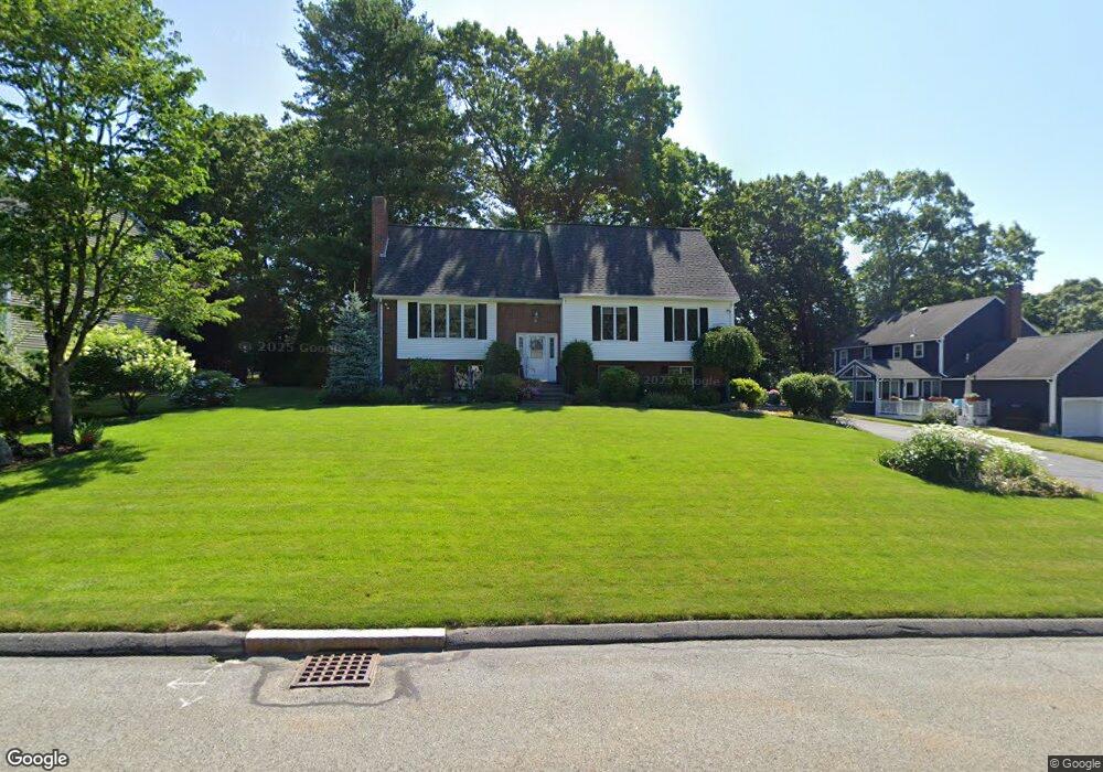
30 Coachman Ln Natick, MA 01760
Estimated Value: $900,000 - $1,251,000
4
Beds
3
Baths
1,764
Sq Ft
$593/Sq Ft
Est. Value
About This Home
This home is located at 30 Coachman Ln, Natick, MA 01760 and is currently estimated at $1,045,905, approximately $592 per square foot. 30 Coachman Ln is a home located in Middlesex County with nearby schools including Natick High School, J F Kennedy Middle School, and Brown Elementary School.
Ownership History
Date
Name
Owned For
Owner Type
Purchase Details
Closed on
Mar 4, 1998
Sold by
Fasciano Peter J and Fasciano Diane T
Bought by
Gallo David J and Gallo Catherine A
Current Estimated Value
Home Financials for this Owner
Home Financials are based on the most recent Mortgage that was taken out on this home.
Original Mortgage
$255,900
Outstanding Balance
$46,442
Interest Rate
6.93%
Mortgage Type
Purchase Money Mortgage
Estimated Equity
$999,463
Create a Home Valuation Report for This Property
The Home Valuation Report is an in-depth analysis detailing your home's value as well as a comparison with similar homes in the area
Home Values in the Area
Average Home Value in this Area
Purchase History
| Date | Buyer | Sale Price | Title Company |
|---|---|---|---|
| Gallo David J | $319,900 | -- |
Source: Public Records
Mortgage History
| Date | Status | Borrower | Loan Amount |
|---|---|---|---|
| Open | Gallo David J | $84,000 | |
| Open | Gallo David J | $255,900 |
Source: Public Records
Tax History
| Year | Tax Paid | Tax Assessment Tax Assessment Total Assessment is a certain percentage of the fair market value that is determined by local assessors to be the total taxable value of land and additions on the property. | Land | Improvement |
|---|---|---|---|---|
| 2025 | $10,776 | $901,000 | $461,300 | $439,700 |
| 2024 | $10,442 | $851,700 | $435,700 | $416,000 |
| 2023 | $9,844 | $778,800 | $409,000 | $369,800 |
| 2022 | $9,641 | $722,700 | $372,300 | $350,400 |
| 2021 | $9,199 | $675,900 | $351,900 | $324,000 |
| 2020 | $8,991 | $660,600 | $336,600 | $324,000 |
| 2019 | $8,396 | $660,600 | $336,600 | $324,000 |
| 2018 | $8,441 | $646,800 | $306,000 | $340,800 |
| 2017 | $8,056 | $597,200 | $262,500 | $334,700 |
| 2016 | $7,776 | $573,000 | $241,500 | $331,500 |
| 2015 | $7,537 | $545,400 | $241,500 | $303,900 |
Source: Public Records
Map
Nearby Homes
- 4 Curtis Rd
- 16 Grant Street Extension
- 132 Howe St Unit B
- 56 Morency St Unit D
- 10 Nolin St
- 3 Oxbow Rd
- 54 Pilgrim Rd
- 47 Bishop Dr
- 96 Mansfield St
- 6 Woodward Rd
- 15 Willis St Unit 4
- 144 Bishop St
- 142 Mill St
- 46 Cochituate Rd Unit 106
- Lot 3 Murray Hill Rd
- 129 Dennison Ave
- 15 Village Way Unit 8
- 40 Nouvelle Way Unit 441
- 21 Kelsey Rd
- 8 Village Way Unit 11
Your Personal Tour Guide
Ask me questions while you tour the home.