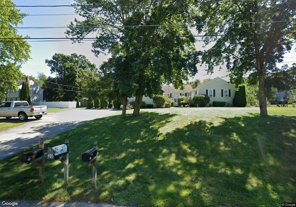
30 Cobb Rd Wrentham, MA 02093
Estimated Value: $325,220 - $377,000
2
Beds
1
Bath
936
Sq Ft
$383/Sq Ft
Est. Value
About This Home
This home is located at 30 Cobb Rd, Wrentham, MA 02093 and is currently estimated at $358,055, approximately $382 per square foot. 30 Cobb Rd is a home located in Norfolk County with nearby schools including Delaney Elementary School, Charles E Roderick, and Discovery Daycare Center.
Ownership History
Date
Name
Owned For
Owner Type
Purchase Details
Closed on
Dec 19, 2017
Sold by
Salem End Llc
Bought by
Woloski Cheri A
Current Estimated Value
Home Financials for this Owner
Home Financials are based on the most recent Mortgage that was taken out on this home.
Original Mortgage
$202,020
Outstanding Balance
$170,167
Interest Rate
3.94%
Mortgage Type
New Conventional
Estimated Equity
$187,888
Purchase Details
Closed on
Oct 27, 2017
Sold by
Breen Kevin P
Bought by
Salem End Llc
Home Financials for this Owner
Home Financials are based on the most recent Mortgage that was taken out on this home.
Original Mortgage
$202,020
Outstanding Balance
$170,167
Interest Rate
3.94%
Mortgage Type
New Conventional
Estimated Equity
$187,888
Purchase Details
Closed on
Oct 28, 2005
Sold by
King Melissa
Bought by
Breen Kevin P
Home Financials for this Owner
Home Financials are based on the most recent Mortgage that was taken out on this home.
Original Mortgage
$224,550
Interest Rate
5.79%
Mortgage Type
Purchase Money Mortgage
Purchase Details
Closed on
Sep 21, 2001
Sold by
Pepi Vernon D and Pepi Jill B
Bought by
King Melissa
Home Financials for this Owner
Home Financials are based on the most recent Mortgage that was taken out on this home.
Original Mortgage
$151,700
Interest Rate
6.98%
Mortgage Type
Purchase Money Mortgage
Purchase Details
Closed on
Jul 14, 1995
Sold by
Volpicelli Joseph A
Bought by
Pepi Vernon D
Create a Home Valuation Report for This Property
The Home Valuation Report is an in-depth analysis detailing your home's value as well as a comparison with similar homes in the area
Purchase History
| Date | Buyer | Sale Price | Title Company |
|---|---|---|---|
| Woloski Cheri A | $200,000 | -- | |
| Salem End Llc | $164,000 | -- | |
| Breen Kevin P | $249,500 | -- | |
| King Melissa | $166,000 | -- | |
| King Melissa | $166,000 | -- | |
| Pepi Vernon D | $89,900 | -- |
Source: Public Records
Mortgage History
| Date | Status | Borrower | Loan Amount |
|---|---|---|---|
| Open | Woloski Cheri A | $202,020 | |
| Previous Owner | Breen Kevin P | $224,550 | |
| Previous Owner | King Melissa | $151,700 | |
| Previous Owner | Pepi Vernon D | $47,500 | |
| Previous Owner | Pepi Vernon D | $32,350 |
Source: Public Records
Tax History
| Year | Tax Paid | Tax Assessment Tax Assessment Total Assessment is a certain percentage of the fair market value that is determined by local assessors to be the total taxable value of land and additions on the property. | Land | Improvement |
|---|---|---|---|---|
| 2025 | $2,975 | $256,700 | $0 | $256,700 |
| 2024 | $3,080 | $256,700 | $0 | $256,700 |
| 2023 | $3,313 | $262,500 | $0 | $262,500 |
| 2022 | $3,039 | $222,300 | $0 | $222,300 |
| 2021 | $2,898 | $206,000 | $0 | $206,000 |
| 2020 | $2,826 | $198,300 | $0 | $198,300 |
| 2019 | $2,800 | $198,300 | $0 | $198,300 |
| 2018 | $2,948 | $207,000 | $0 | $207,000 |
| 2017 | $2,839 | $199,200 | $0 | $199,200 |
| 2016 | $2,737 | $191,700 | $0 | $191,700 |
| 2015 | $2,972 | $198,400 | $0 | $198,400 |
| 2014 | $2,855 | $186,500 | $0 | $186,500 |
Source: Public Records
Map
Nearby Homes
- 282 Thurston St
- 10 Nature View Dr
- 15 Nature View Dr
- 483 Thurston St
- 576 Dedham St
- 135 Creek St Unit 2
- 3 Earle Stewart Ln
- 2 Earle Stewart Ln
- 12 Earle Stewart Ln
- 10 Earle Stewart Ln Unit Lot 5
- 25 Foxboro Rd
- 1 Weber Farm Rd Unit 1
- 11 Weber Farm Rd Unit 11
- 8 Weber Farm Rd Unit 8
- 131 Washington St Unit 42
- 131 Washington St Unit 50
- 30 Weber Farm Rd Unit 30
- 75 Foxboro Rd
- 8 Conway Ln
- 65 Foxboro Rd
- 10 Cobb Rd
- 10 Cobb Rd Unit 10
- 20 Cobb Rd
- 40 Cobb Rd
- 50 Cobb Rd
- 60 Cobb Rd
- 50 Cobb Rd Unit 50
- 50 Cobb Rd Unit 1
- 175 Clark Rd
- 165 Clark Rd
- 155 Clark Rd
- 165 Clark Rd Unit B
- 155 Clark Rd Unit 3,155
- 175 Clark Rd Unit 170,170
- 165 Clark Rd Unit 165,165
- 25 Cobb Rd
- 15 Cobb Rd
- 25 Cobb Rd Unit 25
- 25 Cobb Rd Unit 25,25
- 35 Cobb Rd
Your Personal Tour Guide
Ask me questions while you tour the home.