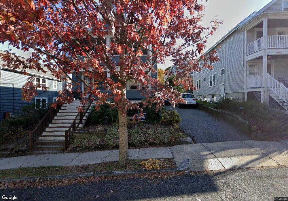
30 Coleman Rd Arlington, MA 02476
Arlington Center NeighborhoodEstimated Value: $705,676 - $754,000
3
Beds
1
Bath
1,586
Sq Ft
$459/Sq Ft
Est. Value
About This Home
This home is located at 30 Coleman Rd, Arlington, MA 02476 and is currently estimated at $728,669, approximately $459 per square foot. 30 Coleman Rd is a home located in Middlesex County with nearby schools including Brackett Elementary School, Bishop Elementary School, and Ottoson Middle School.
Ownership History
Date
Name
Owned For
Owner Type
Purchase Details
Closed on
May 2, 2023
Sold by
Dillon Bronwyn M
Bought by
Leach-Krouse Graham E and Hicks Amelia J
Current Estimated Value
Home Financials for this Owner
Home Financials are based on the most recent Mortgage that was taken out on this home.
Original Mortgage
$492,000
Outstanding Balance
$478,394
Interest Rate
6.42%
Mortgage Type
Purchase Money Mortgage
Estimated Equity
$250,275
Purchase Details
Closed on
May 22, 2008
Sold by
Diozzi Jennifer H and Hurd Jennifer Lynne
Bought by
Dillon Bronwyn M
Home Financials for this Owner
Home Financials are based on the most recent Mortgage that was taken out on this home.
Original Mortgage
$273,000
Interest Rate
5.94%
Mortgage Type
Purchase Money Mortgage
Create a Home Valuation Report for This Property
The Home Valuation Report is an in-depth analysis detailing your home's value as well as a comparison with similar homes in the area
Home Values in the Area
Average Home Value in this Area
Purchase History
| Date | Buyer | Sale Price | Title Company |
|---|---|---|---|
| Leach-Krouse Graham E | $615,000 | None Available | |
| Dillon Bronwyn M | $393,000 | -- |
Source: Public Records
Mortgage History
| Date | Status | Borrower | Loan Amount |
|---|---|---|---|
| Open | Leach-Krouse Graham E | $492,000 | |
| Previous Owner | Dillon Bronwyn M | $273,000 |
Source: Public Records
Tax History Compared to Growth
Tax History
| Year | Tax Paid | Tax Assessment Tax Assessment Total Assessment is a certain percentage of the fair market value that is determined by local assessors to be the total taxable value of land and additions on the property. | Land | Improvement |
|---|---|---|---|---|
| 2025 | $6,310 | $585,900 | $0 | $585,900 |
| 2024 | $7,176 | $677,600 | $0 | $677,600 |
| 2023 | $7,345 | $655,200 | $0 | $655,200 |
| 2022 | $7,267 | $636,300 | $0 | $636,300 |
| 2021 | $7,000 | $617,300 | $0 | $617,300 |
| 2020 | $6,723 | $607,900 | $0 | $607,900 |
| 2019 | $6,158 | $546,900 | $0 | $546,900 |
| 2018 | $5,858 | $482,900 | $0 | $482,900 |
| 2017 | $5,523 | $439,700 | $0 | $439,700 |
| 2016 | $5,628 | $439,700 | $0 | $439,700 |
| 2015 | $5,499 | $405,800 | $0 | $405,800 |
Source: Public Records
Map
Nearby Homes
- 10 Plymouth St Unit 10
- 990 Mass Ave Unit E80
- 995 Massachusetts Ave Unit 404
- 1025 Massachusetts Ave Unit 404
- 1025 Massachusetts Ave Unit 210
- 1025 Massachusetts Ave Unit 211
- 1025 Massachusetts Ave Unit 304
- 1025 Massachusetts Ave Unit 305
- 1025 Massachusetts Ave Unit 409
- 1025 Massachusetts Ave Unit 502
- 1025 Massachusetts Ave Unit 205
- 1025 Massachusetts Ave Unit 501
- 1025 Massachusetts Ave Unit 214
- 1025 Massachusetts Ave Unit 213
- 52-56 Dudley St
- 15 Higgins St Unit 17
- 5 Lincoln St
- 37 Fountain Rd Unit 2
- 1205 Massachusetts Ave
- 4 Beck Rd
- 32 Coleman Rd
- 32 Coleman Rd Unit 1
- 30 Coleman Rd Unit 30
- 30 Coleman Rd Unit 2
- 28 Coleman Rd
- 34 Coleman Rd Unit 36
- 34-36 Coleman Rd Unit 36
- 38 Coleman Rd Unit 40
- 15 Moulton Rd Unit 17
- 17 Moulton Rd Unit 17
- 15 Moulton Rd Unit 15
- 17 Moulton Rd
- 19-21 Moulton Rd Unit 2
- 29 Coleman Rd Unit 31
- 19 Moulton Rd Unit 21
- 19 Moulton Rd Unit 21
- 21 Moulton Rd
- 19 Moulton Rd Unit 1
- 19 Moulton Rd
- 24 Coleman Rd