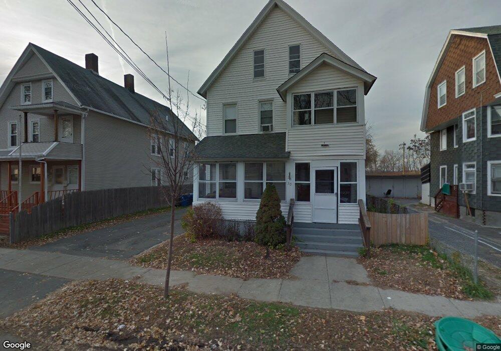
30 Colton Ave West Springfield, MA 01089
Estimated Value: $327,000 - $447,000
4
Beds
2
Baths
2,096
Sq Ft
$181/Sq Ft
Est. Value
About This Home
This home is located at 30 Colton Ave, West Springfield, MA 01089 and is currently estimated at $379,278, approximately $180 per square foot. 30 Colton Ave is a home located in Hampden County with nearby schools including Hampden Charter School of Science West and Libertas Academy Charter School.
Ownership History
Date
Name
Owned For
Owner Type
Purchase Details
Closed on
Jul 31, 2025
Sold by
Chhetri Dhan M and Chhetri Bikash
Bought by
Gajmer Padam and Gajmer Shova L
Current Estimated Value
Home Financials for this Owner
Home Financials are based on the most recent Mortgage that was taken out on this home.
Original Mortgage
$277,500
Outstanding Balance
$276,788
Interest Rate
6.81%
Mortgage Type
New Conventional
Estimated Equity
$102,490
Purchase Details
Closed on
May 25, 2022
Sold by
Foucher David
Bought by
Chhetri Dhan M and Chhetri Bikash
Home Financials for this Owner
Home Financials are based on the most recent Mortgage that was taken out on this home.
Original Mortgage
$276,250
Interest Rate
5%
Mortgage Type
Purchase Money Mortgage
Purchase Details
Closed on
Feb 6, 1997
Sold by
Fento Albert
Bought by
Foucher David and Foucher Deborah
Create a Home Valuation Report for This Property
The Home Valuation Report is an in-depth analysis detailing your home's value as well as a comparison with similar homes in the area
Home Values in the Area
Average Home Value in this Area
Purchase History
| Date | Buyer | Sale Price | Title Company |
|---|---|---|---|
| Gajmer Padam | $370,000 | -- | |
| Gajmer Padam | $370,000 | -- | |
| Chhetri Dhan M | $325,000 | None Available | |
| Chhetri Dhan M | $325,000 | None Available | |
| Chhetri Dhan M | $325,000 | None Available | |
| Foucher David | $25,000 | -- | |
| Foucher David | $25,000 | -- |
Source: Public Records
Mortgage History
| Date | Status | Borrower | Loan Amount |
|---|---|---|---|
| Open | Gajmer Padam | $277,500 | |
| Closed | Gajmer Padam | $277,500 | |
| Previous Owner | Chhetri Dhan M | $276,250 |
Source: Public Records
Tax History Compared to Growth
Tax History
| Year | Tax Paid | Tax Assessment Tax Assessment Total Assessment is a certain percentage of the fair market value that is determined by local assessors to be the total taxable value of land and additions on the property. | Land | Improvement |
|---|---|---|---|---|
| 2025 | $3,755 | $252,500 | $85,000 | $167,500 |
| 2024 | $3,740 | $252,500 | $85,000 | $167,500 |
| 2023 | $3,472 | $223,400 | $85,000 | $138,400 |
| 2022 | $3,344 | $212,200 | $77,200 | $135,000 |
| 2021 | $2,718 | $160,800 | $61,500 | $99,300 |
| 2020 | $2,729 | $160,600 | $61,500 | $99,100 |
| 2019 | $2,724 | $160,600 | $61,500 | $99,100 |
| 2018 | $2,738 | $160,600 | $61,500 | $99,100 |
| 2017 | $2,738 | $160,600 | $61,500 | $99,100 |
| 2016 | $2,688 | $158,200 | $59,100 | $99,100 |
| 2015 | $2,718 | $160,000 | $58,000 | $102,000 |
| 2014 | $2,626 | $160,000 | $58,000 | $102,000 |
Source: Public Records
Map
Nearby Homes
- 20 Sprague St
- 31 Russell St
- 37 Day St
- 78 Lowell St
- 62 Washburn St
- 13 Ringgold St
- 140 Chestnut St Unit 706
- 140 Chestnut St Unit 204
- 140 Chestnut St Unit 819
- 140 Chestnut St Unit 607
- 140 Chestnut St Unit 210
- 140 Chestnut St Unit 202
- 140 Chestnut St Unit 604
- 140 Chestnut St Unit 709
- 385 Worthington St Unit 3D
- 42 Ringgold St
- 56 Exposition Terrace
- 482 Chestnut St
- 49-53 Jefferson Ave
- 278 Elm St
- 24 Colton Ave
- 32 Colton Ave
- 18 Colton Ave
- 36 Colton Ave
- 14 Colton Ave
- 25 Colton Ave
- 31 Colton Ave
- 19 Colton Ave
- 37 Colton Ave
- 37 Colton Ave Unit 37
- 15 Colton Ave
- 659 Main St
- 41 Colton Ave
- 593 Main St
- 23 Allen St Unit 25
- 19 Allen St Unit 21
- 27 Allen St Unit 29
- 27-29 Allen St
- 29 Allen St Unit 2
- 31 Allen St Unit 37