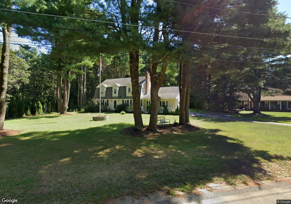
30 Crocker Pond Rd Wrentham, MA 02093
Estimated Value: $700,915 - $944,000
3
Beds
3
Baths
1,869
Sq Ft
$424/Sq Ft
Est. Value
About This Home
This home is located at 30 Crocker Pond Rd, Wrentham, MA 02093 and is currently estimated at $791,979, approximately $423 per square foot. 30 Crocker Pond Rd is a home located in Norfolk County with nearby schools including Delaney Elementary School, Charles E Roderick, and Foxborough Regional Charter School.
Ownership History
Date
Name
Owned For
Owner Type
Purchase Details
Closed on
Jun 24, 1994
Sold by
Malitsky Edward B
Bought by
Miceli Keith and Miceli Alison P
Current Estimated Value
Purchase Details
Closed on
Mar 31, 1989
Sold by
Scarnecchia Dante P
Bought by
Malisky Edward B
Create a Home Valuation Report for This Property
The Home Valuation Report is an in-depth analysis detailing your home's value as well as a comparison with similar homes in the area
Home Values in the Area
Average Home Value in this Area
Purchase History
| Date | Buyer | Sale Price | Title Company |
|---|---|---|---|
| Miceli Keith | $200,500 | -- | |
| Malisky Edward B | $223,000 | -- |
Source: Public Records
Mortgage History
| Date | Status | Borrower | Loan Amount |
|---|---|---|---|
| Open | Malisky Edward B | $45,000 | |
| Open | Malisky Edward B | $295,000 | |
| Closed | Malisky Edward B | $259,500 |
Source: Public Records
Tax History Compared to Growth
Tax History
| Year | Tax Paid | Tax Assessment Tax Assessment Total Assessment is a certain percentage of the fair market value that is determined by local assessors to be the total taxable value of land and additions on the property. | Land | Improvement |
|---|---|---|---|---|
| 2025 | $6,955 | $600,100 | $305,300 | $294,800 |
| 2024 | $6,733 | $561,100 | $305,300 | $255,800 |
| 2023 | $6,649 | $526,900 | $277,700 | $249,200 |
| 2022 | $6,542 | $478,600 | $259,200 | $219,400 |
| 2021 | $6,223 | $442,300 | $226,600 | $215,700 |
| 2020 | $6,186 | $434,100 | $201,800 | $232,300 |
| 2019 | $6,129 | $434,100 | $201,800 | $232,300 |
| 2018 | $5,995 | $421,000 | $202,100 | $218,900 |
| 2017 | $5,861 | $411,300 | $198,200 | $213,100 |
| 2016 | $5,643 | $395,200 | $192,400 | $202,800 |
| 2015 | $5,321 | $355,200 | $169,800 | $185,400 |
| 2014 | $5,268 | $344,100 | $163,400 | $180,700 |
Source: Public Records
Map
Nearby Homes
- 65 Pond St
- 25 Foxboro Rd
- 362 East St
- 1 Lorraine Metcalf Dr
- 270 Dedham St
- 11 Goodwin Dr
- 7 Hill St Unit 10
- 483 Thurston St
- 10 Nature View Dr
- 15 Nature View Dr
- 71 Pond St
- 10 W Birch Rd
- 120 Hawes St
- 0 W Birch Rd
- 3 Oak Rd
- 319 Taunton St
- 246 Forest Grove Ave
- 131 Creek St Unit 7
- 11 Earle Stewart Ln
- 2 Diamond St
- 40 Crocker Pond Rd
- 20 Crocker Pond Rd
- 25 Crocker Pond Rd
- 15 Crocker Pond Rd
- 10 Crocker Pond Rd
- 35 Crocker Pond Rd
- 50 Crocker Pond Rd
- 5 Crocker Pond Rd
- 25 Meadowbrook Dr
- 60 Crocker Pond Rd
- 45 Crocker Pond Rd
- 20 Meadowbrook Dr
- 35 Meadowbrook Dr
- 55 Crocker Pond Rd
- 10 Meadowbrook Dr
- 30 Meadowbrook Dr
- 644 East St
- 650 East St
- 664 East St
- 45 Meadowbrook Dr