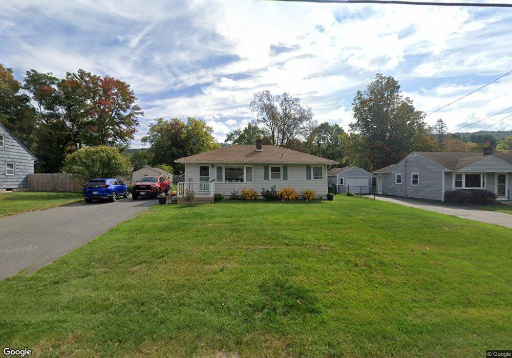
30 Dalton Division Rd Dalton, MA 01226
Estimated Value: $260,000 - $331,000
3
Beds
1
Bath
880
Sq Ft
$333/Sq Ft
Est. Value
About This Home
This home is located at 30 Dalton Division Rd, Dalton, MA 01226 and is currently estimated at $292,913, approximately $332 per square foot. 30 Dalton Division Rd is a home located in Berkshire County with nearby schools including Wahconah Regional High School, St. Agnes Academy, and Sacred Heart School.
Ownership History
Date
Name
Owned For
Owner Type
Purchase Details
Closed on
Sep 10, 2001
Sold by
Barnes Judith L
Bought by
Robinson Joan M
Current Estimated Value
Home Financials for this Owner
Home Financials are based on the most recent Mortgage that was taken out on this home.
Original Mortgage
$71,900
Interest Rate
7.05%
Mortgage Type
Purchase Money Mortgage
Purchase Details
Closed on
May 13, 1997
Sold by
Mansen Sandra M
Bought by
Barnes Judith L
Create a Home Valuation Report for This Property
The Home Valuation Report is an in-depth analysis detailing your home's value as well as a comparison with similar homes in the area
Home Values in the Area
Average Home Value in this Area
Purchase History
| Date | Buyer | Sale Price | Title Company |
|---|---|---|---|
| Robinson Joan M | $89,900 | -- | |
| Robinson Joan M | $89,900 | -- | |
| Barnes Judith L | $85,000 | -- | |
| Barnes Judith L | $85,000 | -- |
Source: Public Records
Mortgage History
| Date | Status | Borrower | Loan Amount |
|---|---|---|---|
| Open | Barnes Judith L | $100,000 | |
| Closed | Barnes Judith L | $71,900 |
Source: Public Records
Tax History
| Year | Tax Paid | Tax Assessment Tax Assessment Total Assessment is a certain percentage of the fair market value that is determined by local assessors to be the total taxable value of land and additions on the property. | Land | Improvement |
|---|---|---|---|---|
| 2025 | $4,538 | $250,300 | $59,800 | $190,500 |
| 2024 | $4,239 | $232,900 | $54,100 | $178,800 |
| 2023 | $3,584 | $202,000 | $49,300 | $152,700 |
| 2022 | $3,584 | $172,800 | $49,300 | $123,500 |
| 2021 | $3,506 | $163,000 | $45,600 | $117,400 |
| 2020 | $658 | $156,400 | $45,600 | $110,800 |
| 2019 | $800 | $138,200 | $45,600 | $92,600 |
| 2018 | $795 | $134,700 | $45,600 | $89,100 |
| 2017 | $2,676 | $134,700 | $45,600 | $89,100 |
| 2016 | $2,644 | $134,700 | $45,600 | $89,100 |
| 2015 | $2,591 | $133,100 | $45,600 | $87,500 |
Source: Public Records
Map
Nearby Homes
- 1990 East St
- 1 Pondview Dr Unit C3
- 40 Baldwin Ave
- 1842 East St
- 101 Imperial Ave
- 86 Winesap Rd
- 127 Pinecrest Dr
- 0 Dalton Division Rd
- 161 Leona Dr
- 39 Barton Hill Rd
- 0 Crane Ave
- 50 Grand Ave
- 28 Jayne Ave
- 41 Jayne Ave
- 581 Red Barn Rd
- 16 Leona Dr
- 326 Dalton Ave
- 104 Washington Mountain Rd
- 149 Kittredge Rd
- 121 Kittredge Rd
- 24 Dalton Division Rd
- 31 Eleanor Rd
- 25 Eleanor Rd
- 18 Dalton Division Rd
- 37 Eleanor Rd
- 18 Dalton Divide
- 55 Dalton Division Rd
- 182 Dalton Division Rd
- 19 Eleanor Rd
- 42 Dalton Division Rd
- 178 Dalton Division Rd
- 192 Dalton Division Rd
- 12 Dalton Division Rd
- 172 Dalton Division Rd
- 43 Eleanor Rd
- 196 Dalton Division Rd
- 11 Eleanor Rd
- 48 Dalton Division Rd
- 20 Greenridge Dr
- 166 Dalton Division Rd
Your Personal Tour Guide
Ask me questions while you tour the home.