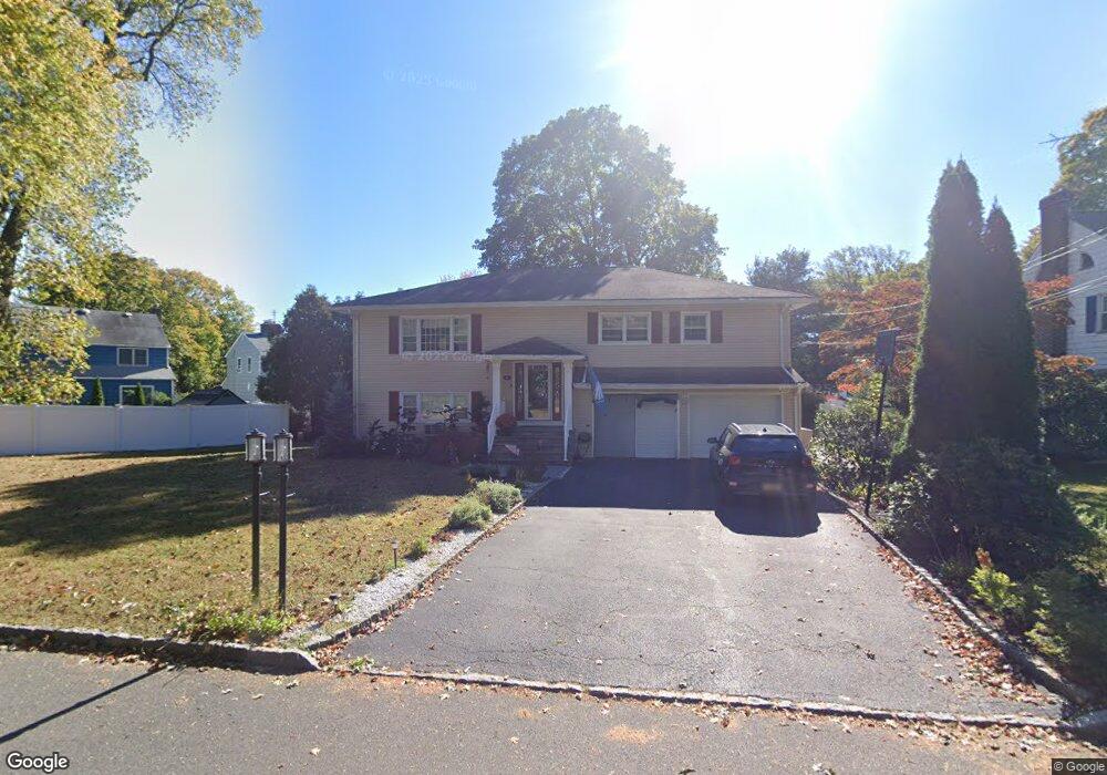
30 Deforest Ave North Plainfield, NJ 07062
Estimated Value: $608,848 - $866,000
Studio
--
Bath
3,053
Sq Ft
$236/Sq Ft
Est. Value
About This Home
This home is located at 30 Deforest Ave, North Plainfield, NJ 07062 and is currently estimated at $720,212, approximately $235 per square foot. 30 Deforest Ave is a home located in Somerset County with nearby schools including Somerset Intermediate School, North Plainfield Middle/High School, and North Plainfield Middle School.
Ownership History
Date
Name
Owned For
Owner Type
Purchase Details
Closed on
Jun 15, 2020
Sold by
Richards Denise V and Richards Lauchland
Bought by
Potts Allen S and Potts Keeva
Current Estimated Value
Home Financials for this Owner
Home Financials are based on the most recent Mortgage that was taken out on this home.
Original Mortgage
$386,650
Outstanding Balance
$342,090
Interest Rate
3.1%
Mortgage Type
FHA
Estimated Equity
$378,122
Purchase Details
Closed on
Jun 27, 2002
Sold by
Campbell Nancy
Bought by
Richards Lauchland and Richards Denise
Home Financials for this Owner
Home Financials are based on the most recent Mortgage that was taken out on this home.
Original Mortgage
$231,200
Interest Rate
6.82%
Create a Home Valuation Report for This Property
The Home Valuation Report is an in-depth analysis detailing your home's value as well as a comparison with similar homes in the area
Home Values in the Area
Average Home Value in this Area
Purchase History
| Date | Buyer | Sale Price | Title Company |
|---|---|---|---|
| Potts Allen S | $400,000 | Foundation Title Llc | |
| Richards Lauchland | $289,000 | -- |
Source: Public Records
Mortgage History
| Date | Status | Borrower | Loan Amount |
|---|---|---|---|
| Open | Potts Allen S | $386,650 | |
| Previous Owner | Richards Lauchland | $231,200 |
Source: Public Records
Tax History
| Year | Tax Paid | Tax Assessment Tax Assessment Total Assessment is a certain percentage of the fair market value that is determined by local assessors to be the total taxable value of land and additions on the property. | Land | Improvement |
|---|---|---|---|---|
| 2025 | $13,074 | $300,000 | $139,000 | $161,000 |
| 2024 | $13,074 | $300,000 | $139,000 | $161,000 |
| 2023 | $12,747 | $300,000 | $139,000 | $161,000 |
| 2022 | $12,243 | $300,000 | $139,000 | $161,000 |
| 2021 | $12,087 | $300,000 | $139,000 | $161,000 |
| 2020 | $11,736 | $300,000 | $139,000 | $161,000 |
| 2019 | $11,424 | $300,000 | $139,000 | $161,000 |
| 2018 | $11,181 | $300,000 | $139,000 | $161,000 |
| 2017 | $11,325 | $300,000 | $139,000 | $161,000 |
| 2016 | $10,767 | $300,000 | $139,000 | $161,000 |
| 2015 | $10,311 | $300,000 | $139,000 | $161,000 |
| 2014 | $9,837 | $300,000 | $139,000 | $161,000 |
Source: Public Records
Map
Nearby Homes
- 361 Richard Way
- 399 Richard Way
- 303 Muriel Ave
- 275 Muriel Ave
- 155 Netherwood Ave
- 228 Oneida Place
- 10 Hurley Ave
- 935 E Front St Unit C
- 104 Graybar Dr
- 401 Us Highway Rt 22 U 26h Unit H
- 144 Belmont Ave
- 212 N Jackson Ave
- 14-16 Netherwood Ave
- 240 Belmont Ave
- 949 E Front St
- 949 E Front St Unit A
- 401 Route 22 Unit 11G
- 401 US Highway 22 Unit B
- 401 US Highway 22 Unit H
- 401 US Highway 22 Unit F