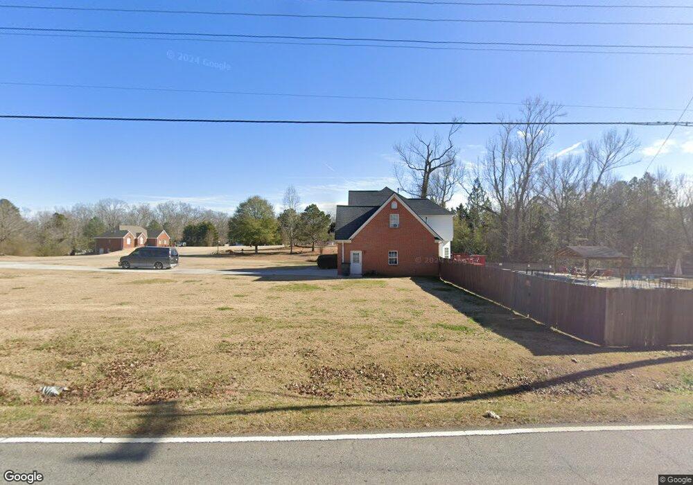
30 Desmond Ct Powder Springs, GA 30127
Estimated Value: $401,000 - $478,180
3
Beds
3
Baths
2,484
Sq Ft
$176/Sq Ft
Est. Value
About This Home
This home is located at 30 Desmond Ct, Powder Springs, GA 30127 and is currently estimated at $437,295, approximately $176 per square foot. 30 Desmond Ct is a home located in Paulding County with nearby schools including Hal Hutchens Elementary School, J. A. Dobbins Middle School, and Hiram High School.
Ownership History
Date
Name
Owned For
Owner Type
Purchase Details
Closed on
Sep 1, 2010
Sold by
Federal Natl Mtg Assn Fnma
Bought by
Nance John F
Current Estimated Value
Home Financials for this Owner
Home Financials are based on the most recent Mortgage that was taken out on this home.
Original Mortgage
$140,415
Outstanding Balance
$94,723
Interest Rate
4.87%
Mortgage Type
FHA
Estimated Equity
$342,572
Purchase Details
Closed on
Dec 1, 2009
Sold by
Citimortgage Inc
Bought by
Federal Natl Mtg Assn Fnma
Create a Home Valuation Report for This Property
The Home Valuation Report is an in-depth analysis detailing your home's value as well as a comparison with similar homes in the area
Home Values in the Area
Average Home Value in this Area
Purchase History
| Date | Buyer | Sale Price | Title Company |
|---|---|---|---|
| Nance John F | $141,500 | -- | |
| Federal Natl Mtg Assn Fnma | -- | -- | |
| Citimortgage Inc | -- | -- |
Source: Public Records
Mortgage History
| Date | Status | Borrower | Loan Amount |
|---|---|---|---|
| Open | Nance John F | $140,415 |
Source: Public Records
Tax History Compared to Growth
Tax History
| Year | Tax Paid | Tax Assessment Tax Assessment Total Assessment is a certain percentage of the fair market value that is determined by local assessors to be the total taxable value of land and additions on the property. | Land | Improvement |
|---|---|---|---|---|
| 2024 | $4,625 | $189,160 | $18,000 | $171,160 |
| 2023 | $4,869 | $189,296 | $18,000 | $171,296 |
| 2022 | $4,054 | $157,384 | $18,000 | $139,384 |
| 2021 | $3,170 | $110,952 | $18,000 | $92,952 |
| 2020 | $3,131 | $107,268 | $18,000 | $89,268 |
| 2019 | $2,821 | $95,496 | $14,000 | $81,496 |
| 2018 | $2,746 | $91,136 | $14,800 | $76,336 |
| 2017 | $2,530 | $84,680 | $14,800 | $69,880 |
Source: Public Records
Map
Nearby Homes
- 260 Sterling Dr
- 215 Troy Path
- 397 Lovejoy Cir
- 521 Sterling Dr
- 430 Pilgrim Ln
- 484 Legacy Park Dr
- 99 Breckenridge Ln
- 105 Katrina Dr Unit 3
- 231 Breckenridge Ln
- 00 Sleepy Hollow Trail
- 31 Sweetwater Pass
- 0 Sleepy Hollow Trail Unit 10607505
- 0 Sleepy Hollow Trail Unit 10596360
- 407 Yellowstone Dr
- 80 Brownsville Extension
- 177 Grandview Ln
- 0 N Burnt Hickory Rd Unit 10596150
- 0 N Burnt Hickory Rd Unit 7579551
- 145 Mary Hill Ln
- 422 Enclave Dr
- 0 Desmond Ct Unit 3282592
- 0 Desmond Ct Unit 3290291
- 0 Desmond Ct
- 86 Desmond Ct
- 29 Desmond Ct Unit In-law suite
- 29 Desmond Ct
- 35 Tidwell Farms Dr
- 81 Desmond Ct
- 132 Desmond Ct
- 43 Tidwell Farms Dr
- 62 Logan Ln
- 69 Tidwell Farms Dr
- 54 Logan Ln
- 22 Tidwell Farms Dr
- 22 Logan Ln
- 70 Logan Ln
- 79 Tidwell Farms Dr
- 154 Desmond Ct
- 62 Tidwell Farms Dr
- 149 Desmond Ct