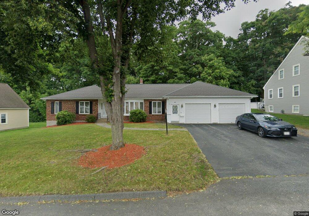
30 Dolly Dr Worcester, MA 01604
Broadmeadow Brook NeighborhoodEstimated Value: $573,000 - $689,000
3
Beds
3
Baths
2,230
Sq Ft
$287/Sq Ft
Est. Value
About This Home
This home is located at 30 Dolly Dr, Worcester, MA 01604 and is currently estimated at $640,690, approximately $287 per square foot. 30 Dolly Dr is a home located in Worcester County with nearby schools including Jacob Hiatt Magnet School, Chandler Magnet, and Rice Square Elementary School.
Ownership History
Date
Name
Owned For
Owner Type
Purchase Details
Closed on
Jan 31, 2002
Sold by
Chrzsiewski Florence D
Bought by
Russell George and Russell Nancy
Current Estimated Value
Purchase Details
Closed on
Mar 9, 1990
Sold by
Richmond Dev Corp
Bought by
Chrzsiewski Laurence
Create a Home Valuation Report for This Property
The Home Valuation Report is an in-depth analysis detailing your home's value as well as a comparison with similar homes in the area
Home Values in the Area
Average Home Value in this Area
Purchase History
| Date | Buyer | Sale Price | Title Company |
|---|---|---|---|
| Russell George | $240,000 | -- | |
| Chrzsiewski Laurence | $188,900 | -- |
Source: Public Records
Mortgage History
| Date | Status | Borrower | Loan Amount |
|---|---|---|---|
| Open | Chrzsiewski Laurence | $150,000 |
Source: Public Records
Tax History Compared to Growth
Tax History
| Year | Tax Paid | Tax Assessment Tax Assessment Total Assessment is a certain percentage of the fair market value that is determined by local assessors to be the total taxable value of land and additions on the property. | Land | Improvement |
|---|---|---|---|---|
| 2025 | $7,814 | $592,400 | $123,600 | $468,800 |
| 2024 | $7,715 | $561,100 | $123,600 | $437,500 |
| 2023 | $7,524 | $524,700 | $106,400 | $418,300 |
| 2022 | $6,712 | $441,300 | $85,200 | $356,100 |
| 2021 | $6,916 | $424,800 | $68,100 | $356,700 |
| 2020 | $6,548 | $385,200 | $68,000 | $317,200 |
| 2019 | $6,464 | $359,100 | $65,600 | $293,500 |
| 2018 | $6,174 | $326,500 | $65,600 | $260,900 |
| 2017 | $6,433 | $334,700 | $65,600 | $269,100 |
| 2016 | $6,618 | $321,100 | $53,800 | $267,300 |
| 2015 | $6,444 | $321,100 | $53,800 | $267,300 |
| 2014 | $6,274 | $321,100 | $53,800 | $267,300 |
Source: Public Records
Map
Nearby Homes
- 46 Vincent Cir
- 7 Lorraine Rd
- 266 Massasoit Rd
- 256 Massasoit Rd
- 259 Massasoit Rd
- 4 Crest Ave
- 25 Stoneham Rd
- 53 Denver Terrace
- 330 Sunderland Rd Unit 78
- 330 Sunderland Rd Unit 87
- 44 Greencourt St
- 340 Sunderland Rd Unit 23
- 270 Sunderland Rd Unit 37
- 270 Sunderland Rd Unit 77
- 270 Sunderland Rd Unit 67
- 232 Weatherstone Dr
- 330 Millbury Ave
- 62 Allston Ave
- 11 Margin St
- 10 Gensell Ave