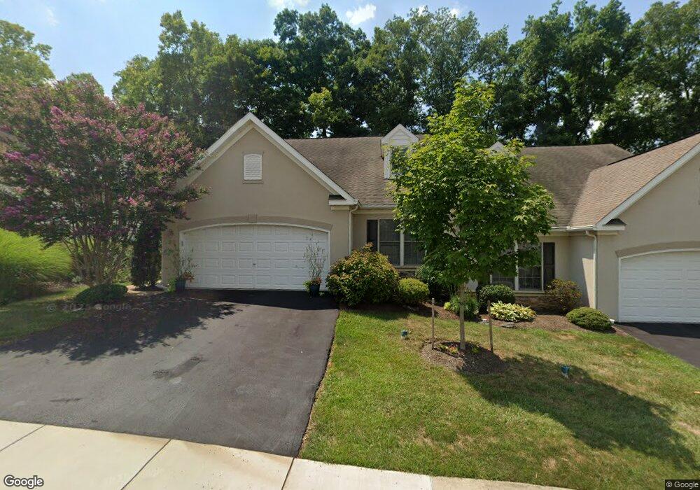
30 Duncan St Unit 26 Lancaster, PA 17602
Bridgeport NeighborhoodEstimated Value: $348,000 - $419,000
3
Beds
3
Baths
2,092
Sq Ft
$181/Sq Ft
Est. Value
About This Home
This home is located at 30 Duncan St Unit 26, Lancaster, PA 17602 and is currently estimated at $378,614, approximately $180 per square foot. 30 Duncan St Unit 26 is a home located in Lancaster County with nearby schools including Lampeter Elementary School, Hans Herr Elementary School, and Martin Meylin Middle School.
Ownership History
Date
Name
Owned For
Owner Type
Purchase Details
Closed on
Jun 15, 2006
Sold by
Mudge Philip H and Mudge Amy L
Bought by
Pinkham Elizabeth
Current Estimated Value
Home Financials for this Owner
Home Financials are based on the most recent Mortgage that was taken out on this home.
Original Mortgage
$100,000
Outstanding Balance
$58,956
Interest Rate
6.62%
Mortgage Type
Purchase Money Mortgage
Estimated Equity
$319,658
Create a Home Valuation Report for This Property
The Home Valuation Report is an in-depth analysis detailing your home's value as well as a comparison with similar homes in the area
Home Values in the Area
Average Home Value in this Area
Purchase History
| Date | Buyer | Sale Price | Title Company |
|---|---|---|---|
| Pinkham Elizabeth | $247,900 | None Available |
Source: Public Records
Mortgage History
| Date | Status | Borrower | Loan Amount |
|---|---|---|---|
| Open | Pinkham Elizabeth | $100,000 |
Source: Public Records
Tax History Compared to Growth
Tax History
| Year | Tax Paid | Tax Assessment Tax Assessment Total Assessment is a certain percentage of the fair market value that is determined by local assessors to be the total taxable value of land and additions on the property. | Land | Improvement |
|---|---|---|---|---|
| 2025 | $4,657 | $210,500 | -- | $210,500 |
| 2024 | $4,657 | $210,500 | -- | $210,500 |
| 2023 | $4,555 | $210,500 | $0 | $210,500 |
| 2022 | $4,486 | $210,500 | $0 | $210,500 |
| 2021 | $4,380 | $210,500 | $0 | $210,500 |
| 2020 | $4,380 | $210,500 | $0 | $210,500 |
| 2019 | $4,320 | $210,500 | $0 | $210,500 |
| 2018 | $3,396 | $210,500 | $0 | $210,500 |
| 2017 | $5,024 | $199,500 | $0 | $199,500 |
| 2016 | $5,023 | $199,500 | $0 | $199,500 |
| 2015 | $985 | $199,500 | $0 | $199,500 |
| 2014 | $3,804 | $199,500 | $0 | $199,500 |
Source: Public Records
Map
Nearby Homes
- 154 River Bend Park
- 415 Lampeter Rd
- 235 Landis Dr
- 305 Conestoga Blvd
- 452 Longfellow Dr
- 1560 S Jefferson Ct
- 257 Longfellow Dr
- 6 Woodlyn Ct
- 11 Clayton Ave
- 1624 Morningside Dr
- 1827 Krystle Dr
- 1153 S Duke St
- 516 Conestoga Greenway Trail
- 1036 E King St
- 1864 Lincoln Hwy E
- 18 Red Leaf Ln
- 36 Myers Crossing
- 19 Thicket Ln
- 911 E King St
- 980 E Orange St
- 32 Duncan St Unit 27
- 28 Duncan St
- 26 Duncan St
- 34 Duncan St Unit 28
- 36 Duncan St
- 141 River Bend Park
- 38 Duncan St
- 142 River Bend Park
- 147 River Bend Park
- 147 River Bend Park Unit 147
- 22 Duncan St
- 143 River Bend Park Unit 143
- 1 Rumford Ct
- 2 Hardy Ct Unit 130
- 148 River Bend Park
- 148 River Bend Park Unit 148
- 140 River Bend Park
- 140 River Bend Park Unit 140
- 144 River Bend Park
- 3 Rumford Ct Unit 132