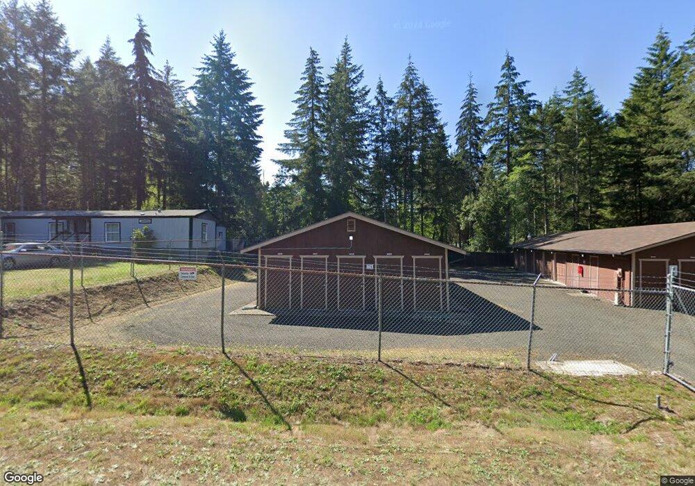
30 E Halrad Rd Shelton, WA 98584
Estimated Value: $273,000 - $404,000
2
Beds
1
Bath
4,548
Sq Ft
$74/Sq Ft
Est. Value
About This Home
This home is located at 30 E Halrad Rd, Shelton, WA 98584 and is currently estimated at $338,500, approximately $74 per square foot. 30 E Halrad Rd is a home located in Mason County with nearby schools including Pioneer Primary School, Pioneer Intermediate/Middle School, and Abba's Garden Academy.
Ownership History
Date
Name
Owned For
Owner Type
Purchase Details
Closed on
Mar 19, 2018
Sold by
Freshour William B
Bought by
William Clarence J and Gedora Business Company
Current Estimated Value
Home Financials for this Owner
Home Financials are based on the most recent Mortgage that was taken out on this home.
Original Mortgage
$80,500
Interest Rate
4.4%
Mortgage Type
Purchase Money Mortgage
Create a Home Valuation Report for This Property
The Home Valuation Report is an in-depth analysis detailing your home's value as well as a comparison with similar homes in the area
Home Values in the Area
Average Home Value in this Area
Purchase History
| Date | Buyer | Sale Price | Title Company |
|---|---|---|---|
| William Clarence J | $255,781 | Mason County Title Co |
Source: Public Records
Mortgage History
| Date | Status | Borrower | Loan Amount |
|---|---|---|---|
| Closed | William Clarence J | $80,500 |
Source: Public Records
Tax History Compared to Growth
Tax History
| Year | Tax Paid | Tax Assessment Tax Assessment Total Assessment is a certain percentage of the fair market value that is determined by local assessors to be the total taxable value of land and additions on the property. | Land | Improvement |
|---|---|---|---|---|
| 2025 | $2,018 | $254,690 | $42,195 | $212,495 |
| 2023 | $2,018 | $226,625 | $39,870 | $186,755 |
| 2022 | $1,791 | $187,500 | $32,155 | $155,345 |
| 2021 | $1,935 | $187,500 | $32,155 | $155,345 |
| 2020 | $1,986 | $186,650 | $31,520 | $155,130 |
| 2018 | $1,400 | $123,580 | $28,335 | $95,245 |
| 2017 | $1,529 | $123,580 | $28,335 | $95,245 |
| 2016 | $1,515 | $139,415 | $30,240 | $109,175 |
| 2015 | $1,420 | $137,875 | $29,295 | $108,580 |
| 2014 | -- | $143,880 | $29,925 | $113,955 |
| 2013 | -- | $141,280 | $28,350 | $112,930 |
Source: Public Records
Map
Nearby Homes
- 0 E Strong Rd Unit 43 NWM2308755
- 0 E Strong Rd Unit 34 NWM2308734
- 0 E Strong Rd Unit 43 24316768
- 0 E Strong Rd Unit 34 24009692
- 10 E Lynda Ln W
- 600 E Probert Rd
- 0 E Northcliff Rd
- 1130 E Phillips Lake Rd
- 180 E Osprey Ln
- 161 E Spencer Glen
- 161 E Geist Point Dr
- 1651 E Phillips Lake Loop Rd
- 1671 E Phillips Lake Loop Rd
- 1581 E Phillips Lake Loop Rd
- 0 E Cottonwood Dr Unit 40 NWM2308766
- 0 E Cottonwood Dr Unit 13 NWM2308746
- 0 E Cottonwood Dr Unit 13 24324515
- 0 E Cottonwood Dr Unit 40
- 61 E Lookout Ct
- 81 E Panorama Way
- 151 E Phillips Lake Rd
- 21 E Halrad Rd
- 21 E Garden Place
- 21 E Snowcrest Ln
- 81 E Snowcrest Ln
- 101 E Snowcrest Ln
- 0 E Phillips Lake Rd
- 0 E Phillips Lake Rd Unit NWM30800977
- 0 E Phillips Lake Rd Unit NWM30800980
- 0 E Phillips Lake Rd Unit NWM30901151
- 0 E Phillips Lake Rd Unit NWM30901014
- 0 E Phillips Lake Rd Unit NWM30902353
- 0 E Phillips Lake Rd Unit NWM30902355
- 0 E Phillips Lake Rd Unit NWM30800592
- 0 E Phillips Lake Rd Unit 1903618
- 0 E Phillips Lake Rd Unit 1783084
- 0 E Phillips Lake Rd Unit 1750441
- 0 E Phillips Lake Rd Unit 1636106
- 0 E Duck Cove Rd
- 51 E Garden Place