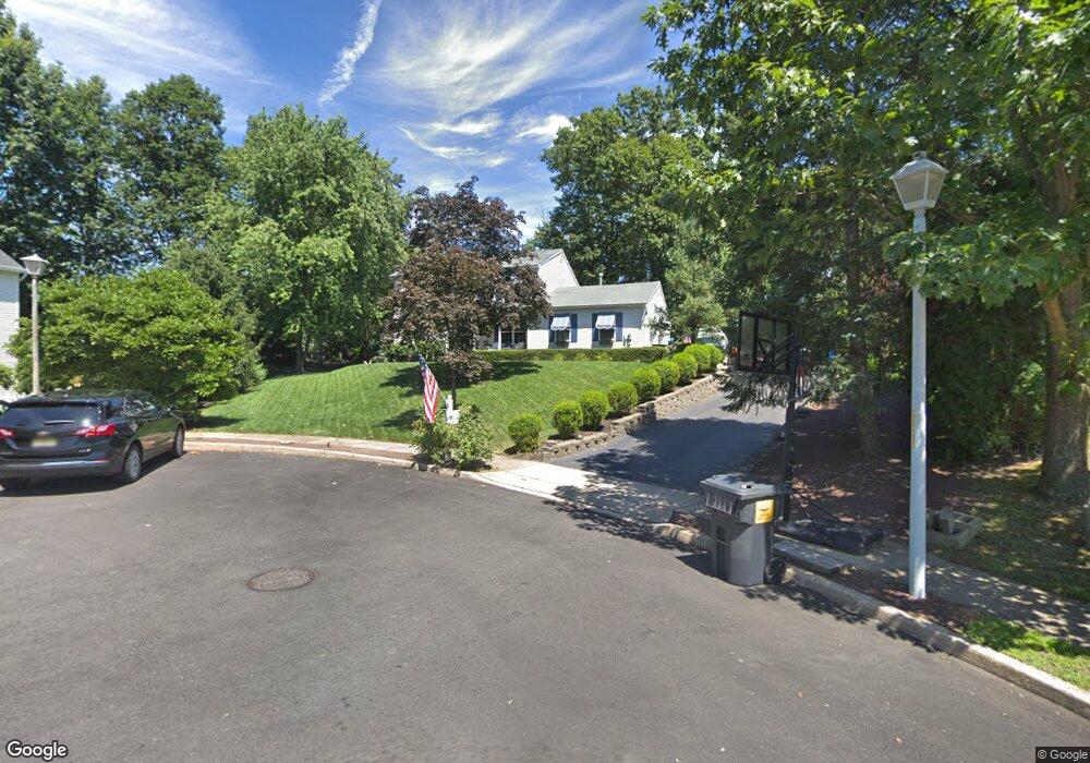
30 E Marston Ave Hazlet, NJ 07730
Estimated Value: $762,000 - $910,701
5
Beds
3
Baths
2,851
Sq Ft
$296/Sq Ft
Est. Value
About This Home
This home is located at 30 E Marston Ave, Hazlet, NJ 07730 and is currently estimated at $844,675, approximately $296 per square foot. 30 E Marston Ave is a home located in Monmouth County with nearby schools including Raritan High School, Baytul-Iman Academy, and St. Ann School.
Ownership History
Date
Name
Owned For
Owner Type
Purchase Details
Closed on
Mar 6, 1997
Sold by
Poricy Builders
Bought by
Parleman Leslie
Current Estimated Value
Home Financials for this Owner
Home Financials are based on the most recent Mortgage that was taken out on this home.
Original Mortgage
$120,000
Outstanding Balance
$13,075
Interest Rate
7.79%
Estimated Equity
$831,600
Create a Home Valuation Report for This Property
The Home Valuation Report is an in-depth analysis detailing your home's value as well as a comparison with similar homes in the area
Home Values in the Area
Average Home Value in this Area
Purchase History
| Date | Buyer | Sale Price | Title Company |
|---|---|---|---|
| Parleman Leslie | $213,000 | -- |
Source: Public Records
Mortgage History
| Date | Status | Borrower | Loan Amount |
|---|---|---|---|
| Open | Parleman Leslie | $120,000 |
Source: Public Records
Tax History
| Year | Tax Paid | Tax Assessment Tax Assessment Total Assessment is a certain percentage of the fair market value that is determined by local assessors to be the total taxable value of land and additions on the property. | Land | Improvement |
|---|---|---|---|---|
| 2025 | $13,470 | $673,600 | $260,100 | $413,500 |
| 2024 | $13,346 | $640,500 | $228,900 | $411,600 |
| 2023 | $13,346 | $624,500 | $216,900 | $407,600 |
| 2022 | $13,741 | $562,200 | $186,900 | $375,300 |
| 2021 | $13,741 | $535,700 | $184,500 | $351,200 |
| 2020 | $13,566 | $525,400 | $173,700 | $351,700 |
| 2019 | $13,383 | $510,200 | $160,500 | $349,700 |
| 2018 | $12,937 | $489,100 | $155,700 | $333,400 |
| 2017 | $12,551 | $474,500 | $147,300 | $327,200 |
| 2016 | $12,385 | $470,000 | $147,300 | $322,700 |
| 2015 | $12,136 | $461,800 | $143,700 | $318,100 |
| 2014 | $12,690 | $452,900 | $138,900 | $314,000 |
Source: Public Records
Map
Nearby Homes
- 3 Lisa Dr
- 22 John St
- 22 John St Unit 137
- 7 John St
- 3 John St Unit 118
- 22 Avenue D Unit 45
- 17 Avenue D
- 9 Avenue C Unit 61
- 5 Avenue B Unit 74
- 18 Avenue A Unit 98
- 14 Avenue A Unit 102
- 78 Liberty Place
- 8a Avenue A Unit 108
- 8a Avenue A
- 116 Hudson Ave
- 19 Avenue A
- 17 Avenue A
- 17 Avenue A Unit 99
- 9 Avenue A
- 101 Hudson Ave
- 23 E Marston Ave
- 28 E Marston Ave
- 24 Shadyside Ave
- 22 Shadyside Ave
- 19 E Marston Ave
- 31 Borick Ave
- 17 E Marston Ave
- 25 Borick Ave
- 20 Shadyside Ave
- 26 E Marston Ave
- 25 Shadyside Ave
- 15 E Marston Ave
- 23 Shadyside Ave
- 12 Shadyside Ave
- 23 Borick Ave
- 21 Shadyside Ave
- 15 Borick Ave
- 26 Borick Ave
- 24 E Marston Ave
- 17 Shadyside Ave
Your Personal Tour Guide
Ask me questions while you tour the home.