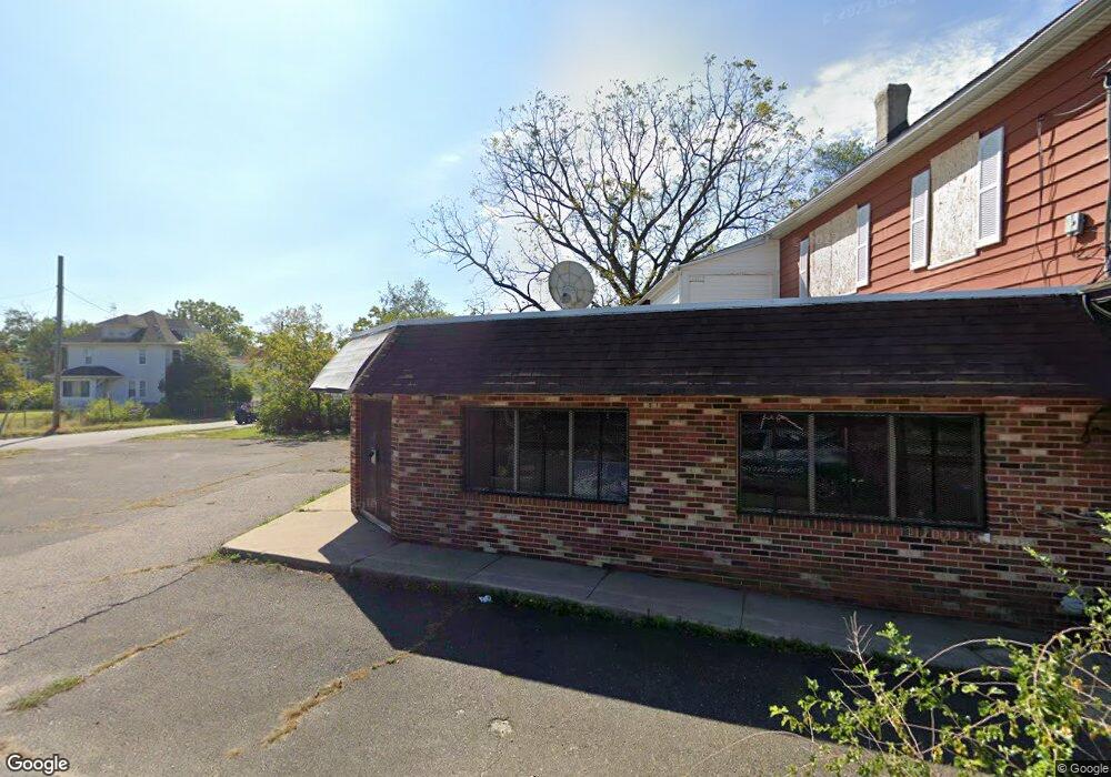
30 E Monroe St Paulsboro, NJ 08066
--
Bed
--
Bath
--
Sq Ft
0.27
Acres
About This Home
This home is located at 30 E Monroe St, Paulsboro, NJ 08066. 30 E Monroe St is a home located in Gloucester County with nearby schools including Billingsport Elementary School, Loudenslager Elementary School, and Paulsboro High School.
Ownership History
Date
Name
Owned For
Owner Type
Purchase Details
Closed on
Dec 26, 2024
Sold by
Borough Of Paulsboro
Bought by
Million Air World Llc
Purchase Details
Closed on
Apr 25, 2024
Sold by
Mackay Raymond
Bought by
Borough Of Paulsboro
Purchase Details
Closed on
Nov 19, 2009
Sold by
Kuz Zin Kafe
Bought by
Mackay Raymond
Purchase Details
Closed on
Aug 8, 2002
Sold by
Fiorile George and Fiorile Mary
Bought by
Kuzzin Kafe Inc
Create a Home Valuation Report for This Property
The Home Valuation Report is an in-depth analysis detailing your home's value as well as a comparison with similar homes in the area
Home Values in the Area
Average Home Value in this Area
Purchase History
| Date | Buyer | Sale Price | Title Company |
|---|---|---|---|
| Million Air World Llc | $20,000 | Surety Title | |
| Million Air World Llc | $20,000 | Surety Title | |
| Borough Of Paulsboro | -- | Simplifile | |
| Borough Of Paulsboro | -- | Simplifile | |
| Mackay Raymond | $270,000 | Continental Title Abstract C | |
| Kuz Zin Kafe | -- | Continental Title Abstract C | |
| Kuzzin Kafe Inc | -- | -- |
Source: Public Records
Tax History Compared to Growth
Tax History
| Year | Tax Paid | Tax Assessment Tax Assessment Total Assessment is a certain percentage of the fair market value that is determined by local assessors to be the total taxable value of land and additions on the property. | Land | Improvement |
|---|---|---|---|---|
| 2025 | $8,083 | $183,700 | $79,500 | $104,200 |
| 2024 | $8,075 | $183,700 | $79,500 | $104,200 |
| 2023 | $8,075 | $183,700 | $79,500 | $104,200 |
| 2022 | $7,928 | $183,700 | $79,500 | $104,200 |
| 2021 | $7,774 | $183,700 | $79,500 | $104,200 |
| 2020 | $7,726 | $183,700 | $79,500 | $104,200 |
| 2019 | $7,484 | $183,700 | $79,500 | $104,200 |
| 2018 | $7,056 | $183,700 | $79,500 | $104,200 |
| 2017 | $7,027 | $183,700 | $79,500 | $104,200 |
| 2016 | $6,694 | $183,700 | $79,500 | $104,200 |
| 2015 | $6,655 | $183,700 | $79,500 | $104,200 |
| 2014 | $6,187 | $183,700 | $79,500 | $104,200 |
Source: Public Records
Map
Nearby Homes
- 27 29 E Adams St
- 28 E Adams St
- 106 E Adams St
- 21 W Adams St
- 28 W Jefferson St
- 11 W Washington St
- 212 E Jefferson St
- 46 Roosevelt St
- 140 142 W Jefferson St
- 53-55 Roosevelt St
- 53 Capitol St
- 122 W Washington St
- 227 W Buck St
- 1043 Penn Line Rd
- 591 N Delaware St Unit M10
- 546 Billings Ave
- 269 W Broad St
- 1519 Pine St
- 1534 Pine St
- 344 W Washington St
- 26 E Monroe St
- 814 Chestnut St
- 24 E Monroe St
- 22 E Monroe St
- 23 E Madison Ave
- 21 E Madison Ave
- 815 Chestnut St
- 25 E Madison St
- 26 E Madison St
- 17 E Madison Ave
- 17 E Madison St
- 26 E Madison Ave
- 900 Chestnut St
- 22 Quincy St
- 901 N Chestnut St
- 12 E Monroe St
- 22 E Madison Ave
- 901 Chestnut St
- 22 E Madison St
- 905 Chestnut St