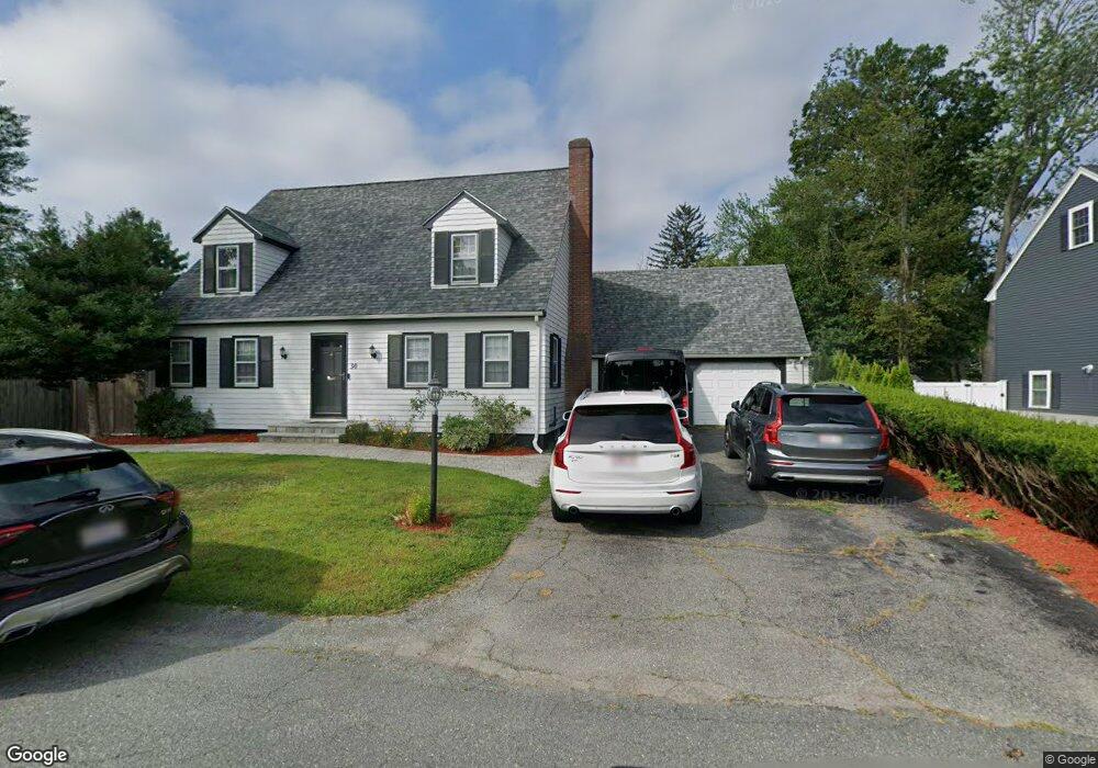
30 Elm St Taunton, MA 02780
City Center NeighborhoodEstimated Value: $629,000 - $682,000
4
Beds
2
Baths
2,399
Sq Ft
$271/Sq Ft
Est. Value
About This Home
This home is located at 30 Elm St, Taunton, MA 02780 and is currently estimated at $649,278, approximately $270 per square foot. 30 Elm St is a home located in Bristol County with nearby schools including Elizabeth Pole School, Taunton High School, and John F. Parker Middle School.
Ownership History
Date
Name
Owned For
Owner Type
Purchase Details
Closed on
Apr 30, 2003
Sold by
Ulysse Vena C
Bought by
Ulysse Fred and Ulysse Vena C
Current Estimated Value
Home Financials for this Owner
Home Financials are based on the most recent Mortgage that was taken out on this home.
Original Mortgage
$216,300
Outstanding Balance
$94,214
Interest Rate
5.82%
Mortgage Type
Purchase Money Mortgage
Estimated Equity
$555,064
Purchase Details
Closed on
Oct 22, 1998
Sold by
Leckart Natalie F and Leckart Andrew B
Bought by
Ulysse Vena C
Home Financials for this Owner
Home Financials are based on the most recent Mortgage that was taken out on this home.
Original Mortgage
$157,100
Interest Rate
6.74%
Mortgage Type
Purchase Money Mortgage
Create a Home Valuation Report for This Property
The Home Valuation Report is an in-depth analysis detailing your home's value as well as a comparison with similar homes in the area
Home Values in the Area
Average Home Value in this Area
Purchase History
| Date | Buyer | Sale Price | Title Company |
|---|---|---|---|
| Ulysse Fred | -- | -- | |
| Ulysse Vena C | $162,000 | -- |
Source: Public Records
Mortgage History
| Date | Status | Borrower | Loan Amount |
|---|---|---|---|
| Open | Ulysse Fred | $216,300 | |
| Previous Owner | Ulysse Vena C | $11,422 | |
| Previous Owner | Ulysse Vena C | $157,100 |
Source: Public Records
Tax History Compared to Growth
Tax History
| Year | Tax Paid | Tax Assessment Tax Assessment Total Assessment is a certain percentage of the fair market value that is determined by local assessors to be the total taxable value of land and additions on the property. | Land | Improvement |
|---|---|---|---|---|
| 2025 | $6,378 | $583,000 | $94,900 | $488,100 |
| 2024 | $5,984 | $534,800 | $94,900 | $439,900 |
| 2023 | $5,519 | $458,000 | $94,900 | $363,100 |
| 2022 | $4,969 | $377,000 | $79,100 | $297,900 |
| 2021 | $4,821 | $339,500 | $71,900 | $267,600 |
| 2020 | $4,556 | $306,600 | $71,900 | $234,700 |
| 2019 | $4,071 | $258,300 | $71,900 | $186,400 |
| 2018 | $3,875 | $246,500 | $71,600 | $174,900 |
| 2017 | $3,561 | $226,700 | $67,900 | $158,800 |
| 2016 | $3,417 | $217,900 | $65,900 | $152,000 |
| 2015 | $3,068 | $204,400 | $66,700 | $137,700 |
| 2014 | $2,960 | $202,600 | $63,700 | $138,900 |
Source: Public Records
Map
Nearby Homes
- 2 Elmhurst St
- 12 Chestnut St Unit A
- 58 Ashland St
- 125 Belmont St
- 25 Fayette Place
- 29 Grant St
- 34 Grant St
- 38 Trescott St
- 80 Arlington St
- 30 Buffington St
- 90 School St
- 14 Presbrey Ave
- 0 M64 L39 Knapp St
- 0, M64 L50 Knapp St
- 0, M64 L51 Knapp St
- 0, M64 L49 Knapp St
- 68 Dean St
- 5 Dean Ave
- 1 Benefit St
- 99 Summer St