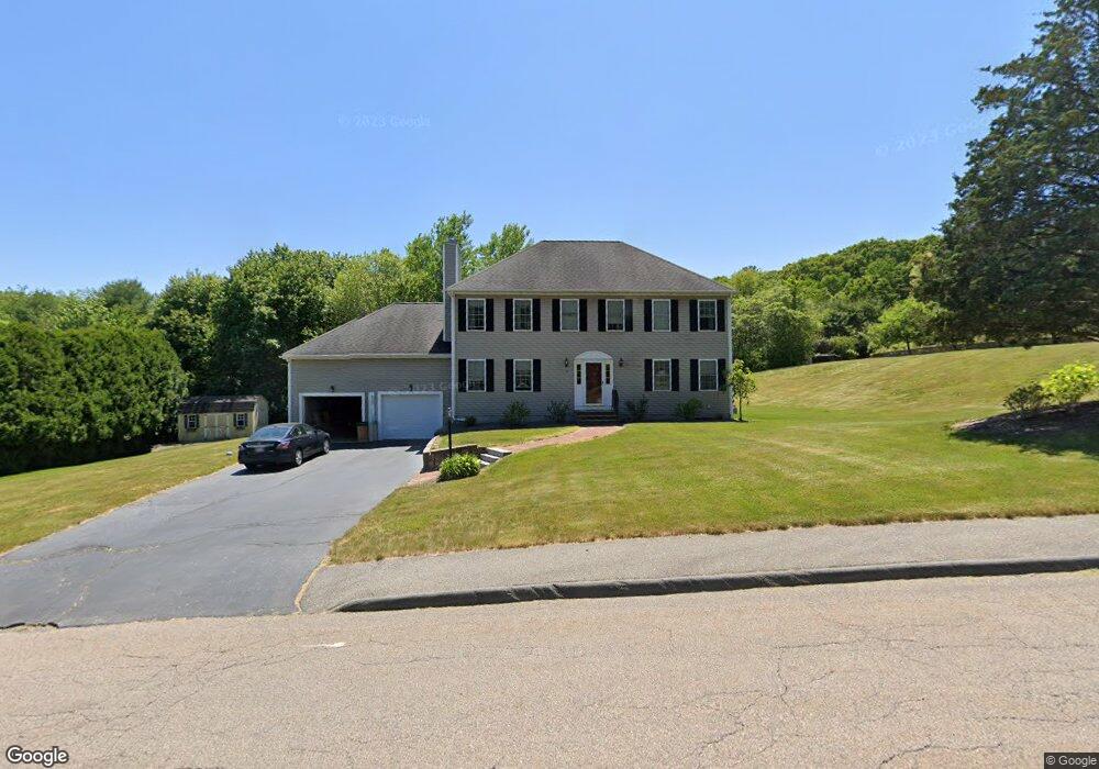
30 Elmshade Dr Uxbridge, MA 01569
Estimated Value: $732,005 - $911,000
4
Beds
3
Baths
2,879
Sq Ft
$283/Sq Ft
Est. Value
About This Home
This home is located at 30 Elmshade Dr, Uxbridge, MA 01569 and is currently estimated at $816,001, approximately $283 per square foot. 30 Elmshade Dr is a home located in Worcester County with nearby schools including Uxbridge High School, Our Lady of the Valley Regional School, and Whitinsville Christian School.
Ownership History
Date
Name
Owned For
Owner Type
Purchase Details
Closed on
Apr 27, 2000
Sold by
New American Homes Llc
Bought by
Vonhein Robert J and Vonhein Michele A
Current Estimated Value
Home Financials for this Owner
Home Financials are based on the most recent Mortgage that was taken out on this home.
Original Mortgage
$233,500
Interest Rate
8.23%
Mortgage Type
Purchase Money Mortgage
Create a Home Valuation Report for This Property
The Home Valuation Report is an in-depth analysis detailing your home's value as well as a comparison with similar homes in the area
Home Values in the Area
Average Home Value in this Area
Purchase History
| Date | Buyer | Sale Price | Title Company |
|---|---|---|---|
| Vonhein Robert J | $291,886 | -- |
Source: Public Records
Mortgage History
| Date | Status | Borrower | Loan Amount |
|---|---|---|---|
| Open | Vonhein Robert J | $261,000 | |
| Closed | Vonhein Robert J | $262,000 | |
| Closed | Vonhein Robert J | $265,000 | |
| Closed | Vonhein Robert J | $233,500 |
Source: Public Records
Tax History
| Year | Tax Paid | Tax Assessment Tax Assessment Total Assessment is a certain percentage of the fair market value that is determined by local assessors to be the total taxable value of land and additions on the property. | Land | Improvement |
|---|---|---|---|---|
| 2025 | $76 | $580,700 | $154,800 | $425,900 |
| 2024 | $7,220 | $558,800 | $147,000 | $411,800 |
| 2023 | $6,900 | $494,600 | $127,000 | $367,600 |
| 2022 | $6,247 | $412,100 | $111,300 | $300,800 |
| 2021 | $6,519 | $412,100 | $111,300 | $300,800 |
| 2020 | $6,853 | $409,400 | $119,100 | $290,300 |
| 2019 | $6,983 | $402,500 | $130,900 | $271,600 |
| 2018 | $6,724 | $391,600 | $130,900 | $260,700 |
| 2017 | $6,536 | $385,400 | $125,600 | $259,800 |
| 2016 | $6,369 | $362,500 | $96,400 | $266,100 |
| 2015 | $6,222 | $357,600 | $96,400 | $261,200 |
Source: Public Records
Map
Nearby Homes
- 79 High St
- 95 High St Unit C
- 117 Quaker Hwy Unit 29
- 5 Peter St Unit D
- 16 Farnum St
- 209 Crownshield Ave Unit 19B
- 197 Crownshield Ave Unit 16B
- 197 Crownshield Ave Unit 16A
- 197 Crownshield Ave Unit 16C
- 86 Hunter Rd
- 223 Mendon St
- 24 Kettle Hill Rd
- 30 Glendale Ave
- 61 Spring Hill Dr Unit 61
- 395 High St
- 107 Henry St
- 85 East St
- 44 Pouts Ln
- 35 Pouts Ln
- 376 Douglas St
- 20 Elmshade Dr
- 40 Elmshade Dr
- 31 Elmshade Dr
- 21 Elmshade Dr
- 50 Elmshade Dr
- 41 Elmshade Dr
- 11 Elmshade Dr
- 10 Elmshade Dr
- 33 Spinning Wheel Dr
- 60 Elmshade Dr
- 11 Spinning Wheel Dr
- 51 Elmshade Dr
- 43 Spinning Wheel Dr
- 211 S Main St
- 61 Elmshade Dr
- 34 Spinning Wheel Dr
- 11 Carriage Path
- 9 Carriage Path
- 9 Carriage Path Unit 9
- 21 Surry Dr
Your Personal Tour Guide
Ask me questions while you tour the home.