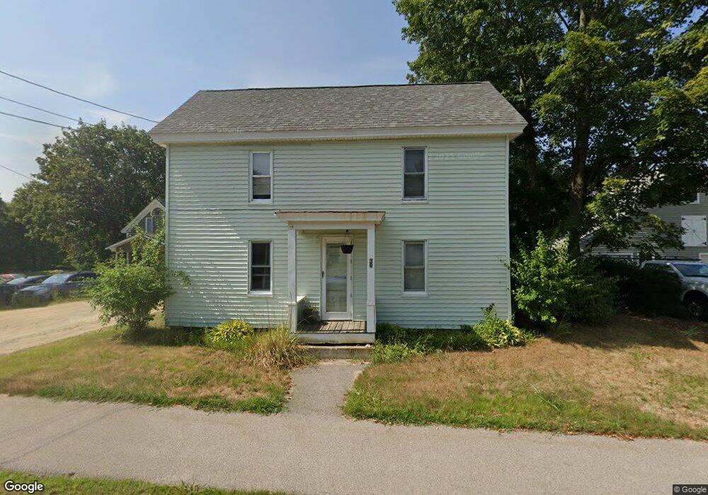
30 Epping St Raymond, NH 03077
Estimated Value: $391,000 - $449,000
3
Beds
2
Baths
1,696
Sq Ft
$247/Sq Ft
Est. Value
About This Home
This home is located at 30 Epping St, Raymond, NH 03077 and is currently estimated at $418,904, approximately $246 per square foot. 30 Epping St is a home located in Rockingham County with nearby schools including Lamprey River Elementary School, Iber Holmes Gove Middle School, and Raymond High School.
Ownership History
Date
Name
Owned For
Owner Type
Purchase Details
Closed on
Apr 7, 2010
Sold by
Epping Street Rt
Bought by
Love Shelby A
Current Estimated Value
Home Financials for this Owner
Home Financials are based on the most recent Mortgage that was taken out on this home.
Original Mortgage
$137,464
Outstanding Balance
$92,098
Interest Rate
5.12%
Mortgage Type
Purchase Money Mortgage
Estimated Equity
$326,806
Create a Home Valuation Report for This Property
The Home Valuation Report is an in-depth analysis detailing your home's value as well as a comparison with similar homes in the area
Home Values in the Area
Average Home Value in this Area
Purchase History
| Date | Buyer | Sale Price | Title Company |
|---|---|---|---|
| Love Shelby A | $140,000 | -- |
Source: Public Records
Mortgage History
| Date | Status | Borrower | Loan Amount |
|---|---|---|---|
| Open | Love Shelby A | $137,464 |
Source: Public Records
Tax History
| Year | Tax Paid | Tax Assessment Tax Assessment Total Assessment is a certain percentage of the fair market value that is determined by local assessors to be the total taxable value of land and additions on the property. | Land | Improvement |
|---|---|---|---|---|
| 2024 | $5,537 | $252,700 | $107,200 | $145,500 |
| 2023 | $5,236 | $252,700 | $107,200 | $145,500 |
| 2022 | $4,622 | $252,700 | $107,200 | $145,500 |
| 2021 | $4,677 | $252,700 | $107,200 | $145,500 |
| 2020 | $4,774 | $182,200 | $76,700 | $105,500 |
| 2019 | $4,845 | $182,200 | $76,700 | $105,500 |
| 2018 | $4,801 | $182,200 | $76,700 | $105,500 |
| 2017 | $4,409 | $182,200 | $76,700 | $105,500 |
| 2016 | $4,325 | $182,200 | $76,700 | $105,500 |
| 2015 | $4,269 | $170,200 | $76,700 | $93,500 |
| 2014 | $4,139 | $170,100 | $76,700 | $93,400 |
| 2013 | $4,021 | $170,100 | $76,700 | $93,400 |
Source: Public Records
Map
Nearby Homes
- 209 New Hampshire 27
- 14 Main St
- 13 Blaisdell Ct Unit 10
- 5 Blaisdell Ct
- 12-19 Dump Rd
- 18 Essex Dr
- 47 Long Hill Rd
- 14 Mica Dr Unit 3
- 22 Mica Dr Unit 7
- 10 Mica Dr Unit 1
- 12 Mica Dr Unit 2
- 16 Mica Dr Unit 4
- 20 Mica Dr Unit 6
- 17 Mica Dr Unit 11
- 51 Nottingham Rd
- 0 Eastside Dr Unit 33
- 11 Royal Ln
- 202 Route 27 Unit 31
- 20 Locksley Ln
- 18 Manorview Dr
Your Personal Tour Guide
Ask me questions while you tour the home.