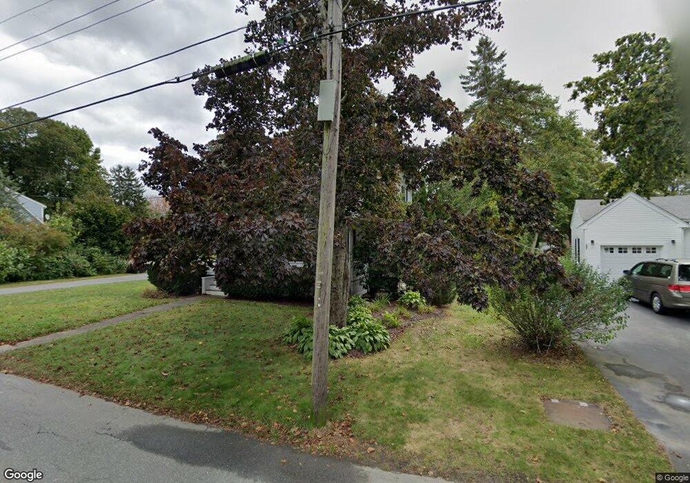
30 Everett Rd Buzzards Bay, MA 02532
Buzzards Bay NeighborhoodEstimated Value: $528,931 - $625,000
3
Beds
2
Baths
1,550
Sq Ft
$372/Sq Ft
Est. Value
About This Home
This home is located at 30 Everett Rd, Buzzards Bay, MA 02532 and is currently estimated at $576,733, approximately $372 per square foot. 30 Everett Rd is a home located in Barnstable County with nearby schools including Bourne High School, St Margaret Regional School, and Cadence Academy Preschool - Bourne.
Ownership History
Date
Name
Owned For
Owner Type
Purchase Details
Closed on
Dec 2, 1991
Sold by
Fnma
Bought by
Geiler Michael T and Howard Kathleen
Current Estimated Value
Home Financials for this Owner
Home Financials are based on the most recent Mortgage that was taken out on this home.
Original Mortgage
$78,300
Interest Rate
8.72%
Mortgage Type
Purchase Money Mortgage
Create a Home Valuation Report for This Property
The Home Valuation Report is an in-depth analysis detailing your home's value as well as a comparison with similar homes in the area
Home Values in the Area
Average Home Value in this Area
Purchase History
| Date | Buyer | Sale Price | Title Company |
|---|---|---|---|
| Geiler Michael T | $87,000 | -- | |
| Centerbank | $114,047 | -- | |
| Geiler Michael T | $87,000 | -- |
Source: Public Records
Mortgage History
| Date | Status | Borrower | Loan Amount |
|---|---|---|---|
| Open | Geiler Michael T | $75,000 | |
| Closed | Geiler Michael T | $78,300 |
Source: Public Records
Tax History
| Year | Tax Paid | Tax Assessment Tax Assessment Total Assessment is a certain percentage of the fair market value that is determined by local assessors to be the total taxable value of land and additions on the property. | Land | Improvement |
|---|---|---|---|---|
| 2025 | $3,536 | $452,800 | $181,200 | $271,600 |
| 2024 | $3,458 | $431,200 | $172,600 | $258,600 |
| 2023 | $3,363 | $381,700 | $152,700 | $229,000 |
| 2022 | $3,206 | $317,700 | $135,200 | $182,500 |
| 2021 | $3,116 | $289,300 | $123,000 | $166,300 |
| 2020 | $3,018 | $281,000 | $121,800 | $159,200 |
| 2019 | $2,861 | $272,200 | $121,800 | $150,400 |
| 2018 | $2,673 | $253,600 | $110,300 | $143,300 |
| 2017 | $2,586 | $251,100 | $109,200 | $141,900 |
| 2016 | $2,368 | $233,100 | $97,700 | $135,400 |
| 2015 | $2,347 | $233,100 | $97,700 | $135,400 |
Source: Public Records
Map
Nearby Homes
- 38 Old Bridge Rd
- 6 Honora Ct
- 3 Honora Ln Unit 3
- 304 Main St
- 60 Sandwich Rd
- 58 Maple St
- 46 Holt Rd Unit B
- 46 Holt Rd
- 44 Cotuit Rd
- 10 Sandy Ln
- 5 Zoli Ln
- 40-A Lafayette Ave
- 4 Van Bummel Rd
- 13 Laurel Hill Ct
- 5 Sea Knoll Ct
- 24 Ships View Terrace
- 60 Bourne Neck Dr
- 4 Hollyhock Knoll Ct Unit 4
- 4 Hollyhock Knoll Ct Unit 4
- 29 Weather Deck Rd
- 32 Everett Rd
- 32 Everett Rd
- 26 Everett Rd
- 26 Everett Rd
- 19 Everett Rd Unit 21
- 19 Everett Rd Unit 2
- 19-21 Everett Rd
- 27 Everett Rd
- 29 Old Bridge Rd Unit 31
- 33 Old Bridge Rd
- 999 Confidential Gas Station
- 56D Bog View Dr
- 26 Bog View Dr Unit 26
- 56D Bog View Dr Unit 56D
- 26D The Hollow Unit 26D
- 0 + 8 Alona Ave
- 10 Bog View Dr Unit 10
- 56D Bog View Dr Unit D
- 26 Bog View Dr
- 10 Bog View Dr
Your Personal Tour Guide
Ask me questions while you tour the home.