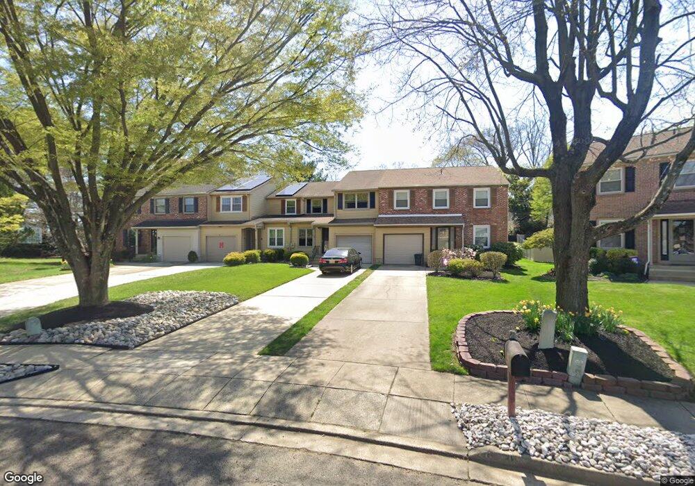
30 Farnwood Rd Mount Laurel, NJ 08054
Estimated Value: $390,000 - $428,000
3
Beds
3
Baths
1,710
Sq Ft
$239/Sq Ft
Est. Value
About This Home
This home is located at 30 Farnwood Rd, Mount Laurel, NJ 08054 and is currently estimated at $407,984, approximately $238 per square foot. 30 Farnwood Rd is a home located in Burlington County with nearby schools including Parkway Elementary School, T.E. Harrington Middle School, and Mount Laurel Hartford School.
Ownership History
Date
Name
Owned For
Owner Type
Purchase Details
Closed on
Feb 4, 2010
Sold by
King Thomas N and King Anne M
Bought by
Sherman Michael and Sherman Jennifer
Current Estimated Value
Home Financials for this Owner
Home Financials are based on the most recent Mortgage that was taken out on this home.
Original Mortgage
$175,000
Outstanding Balance
$116,629
Interest Rate
5.17%
Mortgage Type
Stand Alone First
Estimated Equity
$291,355
Purchase Details
Closed on
Jul 27, 2000
Sold by
Wallace Barbara and Cummings Barbara W
Bought by
King Thomas and King Anne
Home Financials for this Owner
Home Financials are based on the most recent Mortgage that was taken out on this home.
Original Mortgage
$55,000
Interest Rate
7.88%
Create a Home Valuation Report for This Property
The Home Valuation Report is an in-depth analysis detailing your home's value as well as a comparison with similar homes in the area
Home Values in the Area
Average Home Value in this Area
Purchase History
| Date | Buyer | Sale Price | Title Company |
|---|---|---|---|
| Sherman Michael | $242,000 | Foundation Title | |
| King Thomas | $148,500 | -- |
Source: Public Records
Mortgage History
| Date | Status | Borrower | Loan Amount |
|---|---|---|---|
| Open | Sherman Michael | $175,000 | |
| Previous Owner | King Thomas | $55,000 |
Source: Public Records
Tax History Compared to Growth
Tax History
| Year | Tax Paid | Tax Assessment Tax Assessment Total Assessment is a certain percentage of the fair market value that is determined by local assessors to be the total taxable value of land and additions on the property. | Land | Improvement |
|---|---|---|---|---|
| 2025 | $5,787 | $183,300 | $53,100 | $130,200 |
| 2024 | $5,569 | $183,300 | $53,100 | $130,200 |
| 2023 | $5,569 | $183,300 | $53,100 | $130,200 |
| 2022 | $5,550 | $183,300 | $53,100 | $130,200 |
| 2021 | $5,446 | $183,300 | $53,100 | $130,200 |
| 2020 | $5,340 | $183,300 | $53,100 | $130,200 |
| 2019 | $5,285 | $183,300 | $53,100 | $130,200 |
| 2018 | $5,244 | $183,300 | $53,100 | $130,200 |
| 2017 | $5,109 | $183,300 | $53,100 | $130,200 |
| 2016 | $5,032 | $183,300 | $53,100 | $130,200 |
| 2015 | $4,973 | $183,300 | $53,100 | $130,200 |
| 2014 | $4,923 | $183,300 | $53,100 | $130,200 |
Source: Public Records
Map
Nearby Homes
- 82 Farnwood Rd
- 317 Saint David Dr
- 266 Saint David Dr
- 301 Saint David Dr
- 223 Saint David Dr
- 707A Cypress Point Cir
- 402B Cypress Point Cir Unit 402B
- 105B Cypress Point Cir Unit 105B
- 300 Keatley Dr
- 1 Carson Ct
- 145 Hearthstone Ln
- 28 Heron Pointe Ct
- 10 Hanover Ct
- 31 Quince Ct
- 4 Burgundy Dr
- 7 Hastings Ct
- 1A Sumac Ct
- 74 Poppy Ct
- 8 Raven Ct
- 10 Gretna Ct