30 Flag Swamp Rd North Dartmouth, MA 02747
Estimated Value: $522,000 - $666,000
5
Beds
2
Baths
2,419
Sq Ft
$245/Sq Ft
Est. Value
About This Home
This home is located at 30 Flag Swamp Rd, North Dartmouth, MA 02747 and is currently estimated at $591,946, approximately $244 per square foot. 30 Flag Swamp Rd is a home located in Bristol County with nearby schools including Dartmouth High School.
Ownership History
Date
Name
Owned For
Owner Type
Purchase Details
Closed on
Mar 12, 2013
Sold by
Duphily Raymond G
Bought by
30 Flag Swamp Road Rt
Current Estimated Value
Purchase Details
Closed on
Apr 9, 2012
Sold by
Duphily Paul M and Duphily Melissa J
Bought by
Duphily Paul M and Duphily Melissa J
Purchase Details
Closed on
Oct 15, 1992
Sold by
Mcconvill George
Bought by
Duphily Raymond G and Duphily Anne M
Create a Home Valuation Report for This Property
The Home Valuation Report is an in-depth analysis detailing your home's value as well as a comparison with similar homes in the area
Home Values in the Area
Average Home Value in this Area
Purchase History
| Date | Buyer | Sale Price | Title Company |
|---|---|---|---|
| 30 Flag Swamp Road Rt | -- | -- | |
| Duphily Paul M | -- | -- | |
| Duphily Raymond G | $190,000 | -- |
Source: Public Records
Tax History Compared to Growth
Tax History
| Year | Tax Paid | Tax Assessment Tax Assessment Total Assessment is a certain percentage of the fair market value that is determined by local assessors to be the total taxable value of land and additions on the property. | Land | Improvement |
|---|---|---|---|---|
| 2025 | $4,829 | $533,600 | $245,400 | $288,200 |
| 2024 | $4,583 | $501,400 | $238,400 | $263,000 |
| 2023 | $4,365 | $450,500 | $196,800 | $253,700 |
| 2022 | $4,264 | $411,600 | $196,800 | $214,800 |
| 2021 | $3,959 | $365,600 | $191,300 | $174,300 |
| 2020 | $3,687 | $338,900 | $162,000 | $176,900 |
| 2019 | $3,311 | $305,200 | $152,300 | $152,900 |
| 2018 | $3,431 | $326,600 | $156,200 | $170,400 |
| 2017 | $3,368 | $316,500 | $147,200 | $169,300 |
| 2016 | $3,090 | $292,100 | $141,700 | $150,400 |
| 2015 | $2,858 | $271,900 | $124,400 | $147,500 |
| 2014 | $2,771 | $265,400 | $124,500 | $140,900 |
Source: Public Records
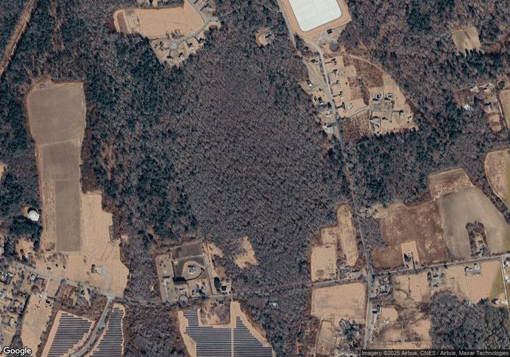
Map
Nearby Homes
- 300 High Hill Rd
- 335 Old Fall River Rd
- 349 Old Fall River Rd
- 390 Old Fall River Rd
- 264 Collins Corner Rd
- 576 Faunce Corner Rd
- 491 Faunce Corner Rd
- 411 Faunce Corner Rd
- Lot 16-18 Old Fall River Rd
- Block 30 Hixville Rd
- Block 27 Hixville Rd
- 496-L62M40 Hixville Rd
- 00 Hixville Rd
- Block 14 Hixville Rd
- 2-1 N Hixville Rd
- Lot 2/3 Quanapoag Rd
- 150 Quanapoag Rd
- 37 Maxine St
- 1261 Church St Unit 70
- 1261 Church St Unit 53
- 34 Flag Swamp Rd
- 20 Flag Swamp Rd
- 58 Flag Swamp Rd
- 35 Flag Swamp Rd
- 6 Flag Swamp Rd
- 11 Flag Swamp Rd
- 51 Flag Swamp Rd
- 900 Faunce Corner Rd
- 974 Faunce Corner Rd Unit LOT2
- 978 Faunce Corner Rd
- 970 Faunce Corner Rd
- 0 Flag Swamp Rd Unit 70840028
- 0 Flag Swamp Rd Unit SWAMP
- 0 Flag Swamp Rd Unit 70518192
- 59 Flag Swamp Rd
- 909 Faunce Corner Rd
- 888 Faunce Corner Rd
- 1 Flag Swamp Rd
- 955 Faunce Corner Rd
- 975 Faunce Corner Rd