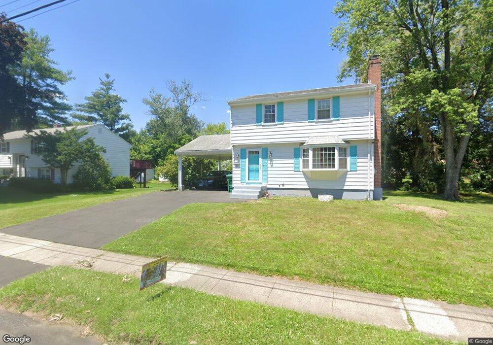
30 Forest Ln Bloomfield, CT 06002
Estimated Value: $282,000 - $324,000
3
Beds
2
Baths
1,274
Sq Ft
$238/Sq Ft
Est. Value
About This Home
This home is located at 30 Forest Ln, Bloomfield, CT 06002 and is currently estimated at $302,986, approximately $237 per square foot. 30 Forest Ln is a home located in Hartford County with nearby schools including Carmen Arace Intermediate School, Metacomet School, and Laurel School.
Ownership History
Date
Name
Owned For
Owner Type
Purchase Details
Closed on
May 24, 2000
Sold by
Thompson David and Thompson Sandra
Bought by
Stevens Elorie
Current Estimated Value
Home Financials for this Owner
Home Financials are based on the most recent Mortgage that was taken out on this home.
Original Mortgage
$104,500
Interest Rate
8.1%
Mortgage Type
Purchase Money Mortgage
Create a Home Valuation Report for This Property
The Home Valuation Report is an in-depth analysis detailing your home's value as well as a comparison with similar homes in the area
Home Values in the Area
Average Home Value in this Area
Purchase History
| Date | Buyer | Sale Price | Title Company |
|---|---|---|---|
| Stevens Elorie | $110,000 | -- | |
| Stevens Elorie | $110,000 | -- |
Source: Public Records
Mortgage History
| Date | Status | Borrower | Loan Amount |
|---|---|---|---|
| Closed | Stevens Elorie | $97,000 | |
| Closed | Stevens Elorie | $106,000 | |
| Closed | Stevens Elorie | $104,500 |
Source: Public Records
Tax History
| Year | Tax Paid | Tax Assessment Tax Assessment Total Assessment is a certain percentage of the fair market value that is determined by local assessors to be the total taxable value of land and additions on the property. | Land | Improvement |
|---|---|---|---|---|
| 2025 | $6,348 | $163,870 | $34,440 | $129,430 |
| 2024 | $4,390 | $108,150 | $30,660 | $77,490 |
| 2023 | $4,313 | $108,150 | $30,660 | $77,490 |
| 2022 | $4,005 | $108,150 | $30,660 | $77,490 |
| 2021 | $4,118 | $108,150 | $30,660 | $77,490 |
| 2020 | $4,057 | $108,150 | $30,660 | $77,490 |
| 2019 | $4,322 | $108,150 | $30,660 | $77,490 |
| 2018 | $3,715 | $92,820 | $30,660 | $62,160 |
| 2017 | $3,718 | $92,820 | $30,660 | $62,160 |
| 2016 | $3,634 | $92,820 | $30,660 | $62,160 |
| 2015 | $3,574 | $92,820 | $30,660 | $62,160 |
| 2014 | $4,208 | $112,700 | $42,000 | $70,700 |
Source: Public Records
Map
Nearby Homes
- 23 Farmstead Cir
- 1130 Blue Hills Ave
- 2 Sandra Dr
- 27 April Way
- 2 Camelot Dr Unit 4
- 73 Abbey Ln
- 38 Sutton Place Unit 38
- 31 Sutton Place
- 159 School St
- 256 Park Ave
- 76 Lincoln Way
- 1211R Blue Hills Ave
- 1220 Blue Hills Ave
- 25 Matthew Ln
- 49 Tyler St
- 747 Blue Hills Ave
- 18 Darby St
- 60 Nod Rd
- 40 Cottage Grove Cir
- 110 Darby St
Your Personal Tour Guide
Ask me questions while you tour the home.