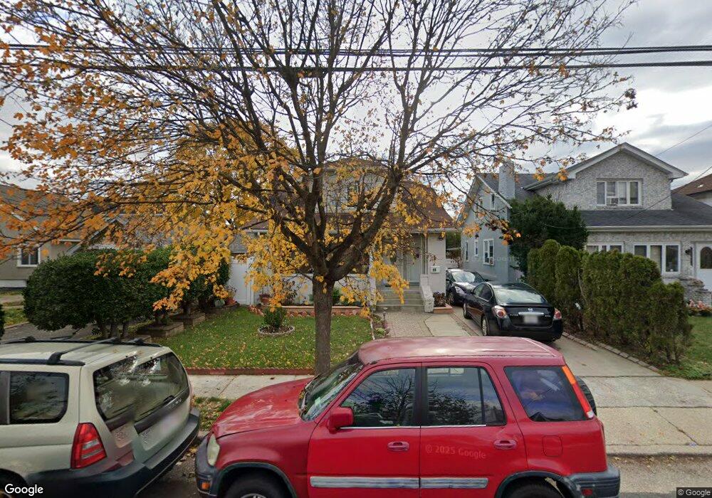
30 Foster Place Hempstead, NY 11550
Estimated Value: $592,000 - $612,822
4
Beds
2
Baths
1,092
Sq Ft
$552/Sq Ft
Est. Value
About This Home
This home is located at 30 Foster Place, Hempstead, NY 11550 and is currently estimated at $602,411, approximately $551 per square foot. 30 Foster Place is a home located in Nassau County with nearby schools including Northern Parkway Elementary School, Lawrence Road Middle School, and Uniondale High School.
Ownership History
Date
Name
Owned For
Owner Type
Purchase Details
Closed on
Feb 8, 2022
Sold by
Kasten Naomi
Bought by
Ambroise Mulide Philippe and Casimir Yvrose
Current Estimated Value
Home Financials for this Owner
Home Financials are based on the most recent Mortgage that was taken out on this home.
Original Mortgage
$425,157
Outstanding Balance
$394,791
Interest Rate
3.55%
Mortgage Type
FHA
Estimated Equity
$207,620
Purchase Details
Closed on
Jun 26, 2018
Sold by
Farquharson Bruce
Bought by
Kasten Naomi
Purchase Details
Closed on
Apr 25, 2007
Sold by
Moran Diony
Bought by
Tavares Jose
Create a Home Valuation Report for This Property
The Home Valuation Report is an in-depth analysis detailing your home's value as well as a comparison with similar homes in the area
Home Values in the Area
Average Home Value in this Area
Purchase History
| Date | Buyer | Sale Price | Title Company |
|---|---|---|---|
| Ambroise Mulide Philippe | $433,000 | Complete Title | |
| Kasten Naomi | $225,000 | None Available | |
| Tavares Jose | $500,000 | -- |
Source: Public Records
Mortgage History
| Date | Status | Borrower | Loan Amount |
|---|---|---|---|
| Open | Ambroise Mulide Philippe | $425,157 |
Source: Public Records
Tax History Compared to Growth
Tax History
| Year | Tax Paid | Tax Assessment Tax Assessment Total Assessment is a certain percentage of the fair market value that is determined by local assessors to be the total taxable value of land and additions on the property. | Land | Improvement |
|---|---|---|---|---|
| 2025 | $6,004 | $345 | $121 | $224 |
| 2024 | $922 | $345 | $121 | $224 |
| 2023 | $5,615 | $345 | $121 | $224 |
| 2022 | $5,615 | $345 | $121 | $224 |
| 2021 | $8,326 | $328 | $115 | $213 |
| 2020 | $6,259 | $586 | $408 | $178 |
| 2019 | $1,137 | $586 | $408 | $178 |
| 2018 | $4,878 | $586 | $0 | $0 |
| 2017 | $4,656 | $586 | $408 | $178 |
| 2016 | $5,682 | $586 | $408 | $178 |
| 2015 | $981 | $586 | $408 | $178 |
| 2014 | $981 | $586 | $408 | $178 |
| 2013 | $908 | $586 | $408 | $178 |
Source: Public Records
Map
Nearby Homes
- 33 Elmwood Ave
- 355 Jerusalem Ave
- 78 Spencer Place
- 66 Elmwood Ave
- 111 Jean Ave
- 110 Powell Place
- 7 Stanley Place
- 139 Jean Ave
- 403 Jerusalem Ave
- 199 William St
- 159 Jean Ave
- 183 Perry St
- 203 Rutland Rd
- 206 Belmont Pkwy
- 178 Rutland Rd
- 602 Leonard Ave
- 244 Brown Ave
- 112 Rutland Rd
- 541 Bedford Ave
- 109 Leverich St