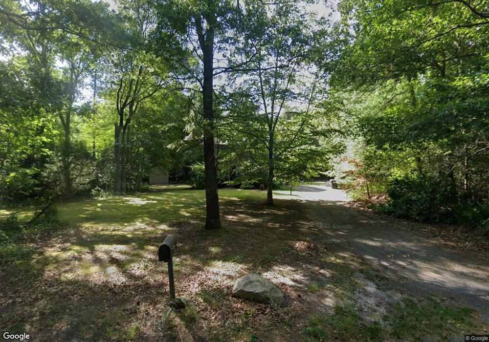
30 Freetown St Lakeville, MA 02347
Estimated Value: $582,595 - $699,000
3
Beds
2
Baths
1,664
Sq Ft
$391/Sq Ft
Est. Value
About This Home
This home is located at 30 Freetown St, Lakeville, MA 02347 and is currently estimated at $650,649, approximately $391 per square foot. 30 Freetown St is a home located in Plymouth County with nearby schools including George R Austin Intermediate School, Assawompset Elementary School, and Freetown-Lakeville Middle School.
Ownership History
Date
Name
Owned For
Owner Type
Purchase Details
Closed on
Dec 18, 2018
Sold by
Tatarian Peter J
Bought by
Fish Gail F
Current Estimated Value
Purchase Details
Closed on
Oct 4, 1996
Sold by
Mastrosimone Carl and Mastrosimone Nora
Bought by
Tatarian Peter J and Fish Gail F
Home Financials for this Owner
Home Financials are based on the most recent Mortgage that was taken out on this home.
Original Mortgage
$128,250
Interest Rate
7.9%
Mortgage Type
Purchase Money Mortgage
Create a Home Valuation Report for This Property
The Home Valuation Report is an in-depth analysis detailing your home's value as well as a comparison with similar homes in the area
Home Values in the Area
Average Home Value in this Area
Purchase History
| Date | Buyer | Sale Price | Title Company |
|---|---|---|---|
| Fish Gail F | -- | -- | |
| Tatarian Peter J | $135,000 | -- |
Source: Public Records
Mortgage History
| Date | Status | Borrower | Loan Amount |
|---|---|---|---|
| Previous Owner | Tatarian Peter J | $35,000 | |
| Previous Owner | Tatarian Peter J | $142,000 | |
| Previous Owner | Tatarian Peter J | $144,000 | |
| Previous Owner | Tatarian Peter J | $128,250 |
Source: Public Records
Tax History Compared to Growth
Tax History
| Year | Tax Paid | Tax Assessment Tax Assessment Total Assessment is a certain percentage of the fair market value that is determined by local assessors to be the total taxable value of land and additions on the property. | Land | Improvement |
|---|---|---|---|---|
| 2025 | $4,888 | $472,300 | $179,900 | $292,400 |
| 2024 | $4,755 | $450,700 | $176,400 | $274,300 |
| 2023 | $4,629 | $415,200 | $167,200 | $248,000 |
| 2022 | $4,488 | $371,800 | $150,400 | $221,400 |
| 2021 | $4,291 | $336,000 | $134,300 | $201,700 |
| 2020 | $4,226 | $323,600 | $130,100 | $193,500 |
| 2019 | $4,060 | $305,300 | $125,200 | $180,100 |
| 2018 | $3,923 | $288,700 | $116,800 | $171,900 |
| 2017 | $3,784 | $273,000 | $135,700 | $137,300 |
| 2016 | $3,651 | $258,400 | $129,300 | $129,100 |
| 2015 | $3,588 | $251,800 | $129,300 | $122,500 |
Source: Public Records
Map
Nearby Homes
- 24 Bells Brook Rd
- 19 Hilltop Acres Dr
- 15 Morrison Way
- 90 Howland Rd
- Lot 2 Sherwood Ln
- Lot 1 Sherwood Ln
- 11 5th Ave
- 14 2nd Ave
- 7 2nd Ave
- 14 Spruce Rd
- 8 Denise Ave
- 1 Elaine Cir
- 11 Summit Ave
- 120 Hackett Ave
- 22 Fuller Shores
- 11 Gurney Rd
- 7 Great Cedar Crossing
- 14 Jennifer Ln
- 23 Parker Dr
- 52 Fuller Shores
- 32 Freetown St
- 28 Freetown St
- 31 Freetown St
- 33 Freetown St
- 26 Freetown St
- 34 Freetown St
- 27 Freetown St
- 35 Freetown St
- 18 Brookstone Rd
- 24 Freetown St
- 24 Freetown St
- 24 Freetown St
- 36 Freetown St
- 25 Freetown St
- 14 Brookstone Rd
- 5 Smith Cir
- 16 Brookstone Rd
- 22 Freetown St
- 37 Freetown St
- 19 Brookstone Rd