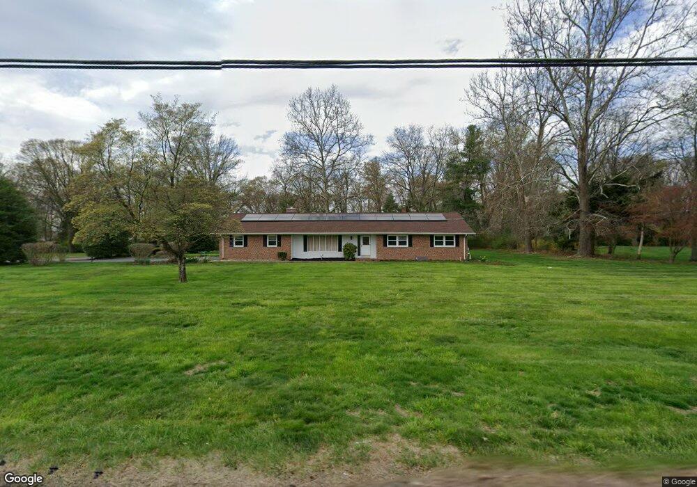
30 George Davison Rd Cranbury, NJ 08512
Estimated Value: $726,000 - $744,841
Studio
--
Bath
1,838
Sq Ft
$400/Sq Ft
Est. Value
About This Home
This home is located at 30 George Davison Rd, Cranbury, NJ 08512 and is currently estimated at $735,960, approximately $400 per square foot. 30 George Davison Rd is a home located in Middlesex County with nearby schools including Town Center Elementary School, Millstone River School, and Community Middle School.
Ownership History
Date
Name
Owned For
Owner Type
Purchase Details
Closed on
Apr 5, 2021
Sold by
Westley Patricia C
Bought by
Srivastava Varsha
Current Estimated Value
Home Financials for this Owner
Home Financials are based on the most recent Mortgage that was taken out on this home.
Original Mortgage
$493,430
Outstanding Balance
$445,507
Interest Rate
3%
Mortgage Type
New Conventional
Estimated Equity
$290,453
Purchase Details
Closed on
Jan 24, 1992
Bought by
Westley Thomas M and Westley Patricia
Create a Home Valuation Report for This Property
The Home Valuation Report is an in-depth analysis detailing your home's value as well as a comparison with similar homes in the area
Home Values in the Area
Average Home Value in this Area
Purchase History
| Date | Buyer | Sale Price | Title Company |
|---|---|---|---|
| Srivastava Varsha | $519,400 | Providence Abstract Llc | |
| Srivastava Varsha | $519,400 | Providence Abstract | |
| Westley Thomas M | $265,000 | -- |
Source: Public Records
Mortgage History
| Date | Status | Borrower | Loan Amount |
|---|---|---|---|
| Open | Srivastava Varsha | $493,430 | |
| Closed | Srivastava Varsha | $493,430 |
Source: Public Records
Tax History
| Year | Tax Paid | Tax Assessment Tax Assessment Total Assessment is a certain percentage of the fair market value that is determined by local assessors to be the total taxable value of land and additions on the property. | Land | Improvement |
|---|---|---|---|---|
| 2025 | $12,145 | $464,800 | $221,600 | $243,200 |
| 2024 | $11,852 | $464,800 | $221,600 | $243,200 |
Source: Public Records
Map
Nearby Homes
- 3 Beechtree Ln
- 99 Thoreau Dr
- 103 Tennyson Dr
- 83 Tennyson Dr
- 100 Ashford Dr
- 1707 Aspen Dr
- 136 Hampshire Dr
- 76 Ashford Dr
- 49 Hampshire Dr
- 8408 Tamarron Dr
- 108 Aspen Dr Unit 108
- 60 Hampshire Dr
- 199 Hampshire Dr
- 8508 Tamarron Dr
- 191 Hampshire Dr
- 422 Ravens Crest Dr Unit 422
- 4914 Ravens Crest Dr
- 5017 Ravens Crest Dr Unit 5017
- 11 Jay Ct
- 2415 Ravens Crest Dr
- 28 George Davison Rd
- 8 Beechtree Ln
- 32 George Davison Rd
- 28 George Davison Rd
- 10 Beechtree Ln
- 6 Beechtree Ln
- 26 George Davison Rd
- 34 George Davison Rd
- 7 Beechtree Ln
- 9 Beechtree Ln
- 5 Beechtree Ln
- 12 Beechtree Ln
- 4 Beechtree Ln
- 24 George Davison Rd
- 11 Beechtree Ln
- 36 George Davison Rd
- 10 Simonson Dr
- 7 Red Oak Dr
- 9 Red Oak Dr
- 14 Beechtree Ln
Your Personal Tour Guide
Ask me questions while you tour the home.