30 Goose Pond Rd Lincoln, MA 01773
Estimated Value: $1,790,740 - $2,214,000
3
Beds
4
Baths
3,472
Sq Ft
$577/Sq Ft
Est. Value
About This Home
This home is located at 30 Goose Pond Rd, Lincoln, MA 01773 and is currently estimated at $2,004,685, approximately $577 per square foot. 30 Goose Pond Rd is a home located in Middlesex County with nearby schools including Lincoln-Sudbury Regional High School, The Fenn School, and Concord Academy.
Ownership History
Date
Name
Owned For
Owner Type
Purchase Details
Closed on
May 21, 1993
Sold by
Tavilla-Holland D
Bought by
Moore Robert L and Christine Moore M
Current Estimated Value
Home Financials for this Owner
Home Financials are based on the most recent Mortgage that was taken out on this home.
Original Mortgage
$419,200
Interest Rate
7.54%
Mortgage Type
Purchase Money Mortgage
Create a Home Valuation Report for This Property
The Home Valuation Report is an in-depth analysis detailing your home's value as well as a comparison with similar homes in the area
Home Values in the Area
Average Home Value in this Area
Purchase History
| Date | Buyer | Sale Price | Title Company |
|---|---|---|---|
| Moore Robert L | $524,000 | -- |
Source: Public Records
Mortgage History
| Date | Status | Borrower | Loan Amount |
|---|---|---|---|
| Closed | Moore Robert L | $419,200 |
Source: Public Records
Tax History Compared to Growth
Tax History
| Year | Tax Paid | Tax Assessment Tax Assessment Total Assessment is a certain percentage of the fair market value that is determined by local assessors to be the total taxable value of land and additions on the property. | Land | Improvement |
|---|---|---|---|---|
| 2025 | $228 | $1,781,700 | $924,300 | $857,400 |
| 2024 | $22,666 | $1,758,400 | $906,000 | $852,400 |
| 2023 | $20,586 | $1,478,900 | $735,200 | $743,700 |
| 2022 | $19,534 | $1,308,400 | $680,300 | $628,100 |
| 2021 | $19,014 | $1,225,100 | $635,800 | $589,300 |
| 2020 | $18,215 | $1,185,900 | $659,700 | $526,200 |
| 2019 | $15,875 | $1,131,500 | $642,200 | $489,300 |
| 2018 | $15,375 | $1,130,500 | $642,200 | $488,300 |
| 2017 | $15,269 | $1,114,500 | $635,800 | $478,700 |
| 2016 | $15,206 | $1,086,900 | $617,500 | $469,400 |
| 2015 | $14,470 | $1,022,600 | $571,400 | $451,200 |
| 2014 | $14,109 | $979,100 | $532,500 | $446,600 |
Source: Public Records
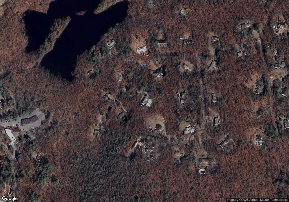
Map
Nearby Homes
- 9 Garland Rd
- 646 Cambridge Turnpike
- 22 Old Cambridge Turnpike
- 16 Old Cambridge Turnpike
- 61B Walden St
- 60 Baker Bridge Rd
- 33 Old Concord Rd
- 44 Baker Bridge Rd
- 236 Fairhaven Rd
- 181 Stow St
- 140 Revolutionary Rd
- 143 Everett St
- 84 Bruce Rd
- 35 Chestnut St
- 96 Independence Rd
- 241 Shadyside Ave
- 22 Lincoln Rd
- 38-40 Court Ln
- 46 Sudbury Rd
- 232 Sudbury Rd
- 34 Goose Pond Rd
- 22 Goose Pond Rd
- 29 Goose Pond Rd
- 35 Goose Pond Rd
- 15 Deer Run Rd
- 7 Deer Run Rd
- 23 Goose Pond Rd
- 3 Deer Run Rd
- 36 Goose Pond Rd
- 22 Deer Run Rd
- 25 Pheasant Ln
- 21 Deer Run Rd
- 10 Pheasant Ln
- 19 Goose Pond Rd
- 20 Deer Run Rd
- 8 Deer Run Rd
- 6 Goose Pond Rd
- 12 Deer Run Rd
- 18 Deer Run Rd
- 7 Goose Pond Rd