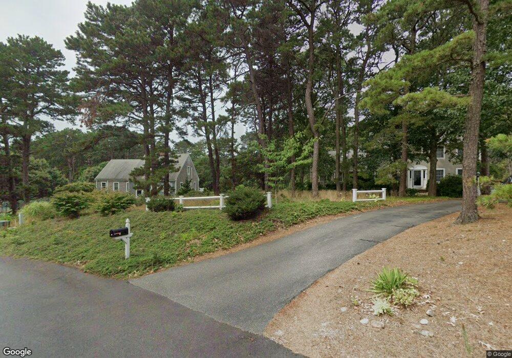
30 Governor Brewster Rd Eastham, MA 02642
Estimated Value: $392,000 - $982,000
--
Bed
1
Bath
--
Sq Ft
0.51
Acres
About This Home
This home is located at 30 Governor Brewster Rd, Eastham, MA 02642 and is currently estimated at $671,000. 30 Governor Brewster Rd is a home located in Barnstable County with nearby schools including Eastham Elementary School, Nauset Regional Middle School, and Nauset Regional High School.
Ownership History
Date
Name
Owned For
Owner Type
Purchase Details
Closed on
Aug 19, 2022
Sold by
Lavigne David P
Bought by
Landsmann Martin and Landsmann Meredith
Current Estimated Value
Home Financials for this Owner
Home Financials are based on the most recent Mortgage that was taken out on this home.
Original Mortgage
$227,500
Outstanding Balance
$215,788
Interest Rate
4.75%
Mortgage Type
Purchase Money Mortgage
Estimated Equity
$455,212
Purchase Details
Closed on
Jul 31, 2020
Sold by
W David Lavigne T A and Cape Cod Five Cents Sb Tr
Bought by
Lavigne David P
Purchase Details
Closed on
Nov 1, 2007
Sold by
Lavigne A W David
Bought by
W David Lavigne T A
Create a Home Valuation Report for This Property
The Home Valuation Report is an in-depth analysis detailing your home's value as well as a comparison with similar homes in the area
Home Values in the Area
Average Home Value in this Area
Purchase History
| Date | Buyer | Sale Price | Title Company |
|---|---|---|---|
| Landsmann Martin | $325,000 | None Available | |
| Lavigne David P | -- | None Available | |
| W David Lavigne T A | -- | -- | |
| A W David Lavigne T | -- | -- |
Source: Public Records
Mortgage History
| Date | Status | Borrower | Loan Amount |
|---|---|---|---|
| Open | Landsmann Martin | $227,500 |
Source: Public Records
Tax History Compared to Growth
Tax History
| Year | Tax Paid | Tax Assessment Tax Assessment Total Assessment is a certain percentage of the fair market value that is determined by local assessors to be the total taxable value of land and additions on the property. | Land | Improvement |
|---|---|---|---|---|
| 2025 | $1,856 | $240,700 | $240,700 | $0 |
| 2024 | $1,365 | $194,700 | $194,700 | $0 |
| 2023 | $1,305 | $180,300 | $180,300 | $0 |
| 2022 | $1,381 | $161,000 | $161,000 | $0 |
| 2021 | $1,343 | $146,300 | $146,300 | $0 |
| 2020 | $1,736 | $199,100 | $199,100 | $0 |
| 2019 | $1,595 | $193,300 | $193,300 | $0 |
| 2018 | $1,567 | $187,700 | $187,700 | $0 |
| 2017 | $2,657 | $336,300 | $184,000 | $152,300 |
| 2016 | $2,498 | $335,800 | $184,000 | $151,800 |
| 2015 | $2,342 | $329,900 | $180,400 | $149,500 |
Source: Public Records
Map
Nearby Homes
- 20 White Pines Dr
- 10 Cartway N
- 330 Hay Rd
- 785 State Hwy Unit 9
- 20 Boat Meadow Way
- 993 Intonti Way
- 995 Intonti Way
- 180 Country Ln
- 1061 State Hwy Unit 4
- 385 Bridge Rd
- 20 Kittiwake Ln
- 320 State Hwy
- 25 Twin Rocks Dr
- 30 Cove Rd
- 150 Old State Hwy Unit Compound
- 59 Bridge Rd
- 1875 State Hwy
- 60 Smith Heights Way
- 480 Dyer Prince Rd
- 339 Dyer Prince Rd
- 30 Gov Brewster Rd
- 60 Governor Winslow Dr
- 20 Governor Brewster Rd
- 15 Limerick Way
- 265 Ireland Way
- 285 Ireland Way
- 255 Ireland Way
- 25 Limerick Way
- 50 Governor Winslow Dr
- 245 Ireland Way
- 45 Governor Winslow Dr
- 345 Ireland Way
- 10 Governor Brewster Rd
- 35 Limerick Way
- 225 Ireland Way
- 35 Governor Winslow Dr
- 40 Governor Winslow Dr
- 320 Ireland Way
- 195 Ireland Way
- 260 Ireland Way