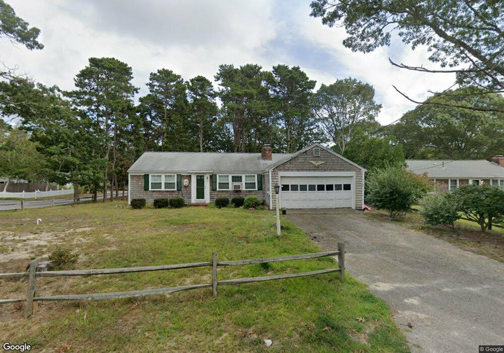
30 Graces Way South Dennis, MA 02660
South Dennis NeighborhoodEstimated Value: $413,000 - $531,000
2
Beds
1
Bath
1,008
Sq Ft
$483/Sq Ft
Est. Value
About This Home
This home is located at 30 Graces Way, South Dennis, MA 02660 and is currently estimated at $487,334, approximately $483 per square foot. 30 Graces Way is a home located in Barnstable County with nearby schools including Dennis-Yarmouth Regional High School and St. Pius X. School.
Ownership History
Date
Name
Owned For
Owner Type
Purchase Details
Closed on
Apr 16, 2002
Sold by
Brennan Margaret M and Murphy Nancy M
Bought by
Boraski Andrew E and Boraski Susan L
Current Estimated Value
Home Financials for this Owner
Home Financials are based on the most recent Mortgage that was taken out on this home.
Original Mortgage
$40,000
Outstanding Balance
$16,617
Interest Rate
6.84%
Mortgage Type
Purchase Money Mortgage
Estimated Equity
$470,717
Create a Home Valuation Report for This Property
The Home Valuation Report is an in-depth analysis detailing your home's value as well as a comparison with similar homes in the area
Home Values in the Area
Average Home Value in this Area
Purchase History
| Date | Buyer | Sale Price | Title Company |
|---|---|---|---|
| Boraski Andrew E | $87,500 | -- |
Source: Public Records
Mortgage History
| Date | Status | Borrower | Loan Amount |
|---|---|---|---|
| Open | Boraski Andrew E | $40,000 |
Source: Public Records
Tax History Compared to Growth
Tax History
| Year | Tax Paid | Tax Assessment Tax Assessment Total Assessment is a certain percentage of the fair market value that is determined by local assessors to be the total taxable value of land and additions on the property. | Land | Improvement |
|---|---|---|---|---|
| 2025 | $1,978 | $456,700 | $151,200 | $305,500 |
| 2024 | $1,862 | $424,100 | $145,400 | $278,700 |
| 2023 | $1,801 | $385,600 | $132,200 | $253,400 |
| 2022 | $1,789 | $319,400 | $132,300 | $187,100 |
| 2021 | $1,714 | $284,200 | $129,700 | $154,500 |
| 2020 | $1,646 | $269,900 | $129,700 | $140,200 |
| 2019 | $1,631 | $264,400 | $139,900 | $124,500 |
| 2018 | $1,476 | $232,800 | $121,100 | $111,700 |
| 2017 | $4,300 | $229,200 | $121,100 | $108,100 |
| 2016 | $1,410 | $216,000 | $127,100 | $88,900 |
| 2015 | $1,382 | $216,000 | $127,100 | $88,900 |
| 2014 | $1,375 | $216,600 | $109,000 | $107,600 |
Source: Public Records
Map
Nearby Homes
- 153 Bayridge Dr
- 11 Uncle Stanleys Way
- 4 Ebb Rd
- 15 Captain Jud Rd
- 17 Margate Ln
- 13 Covey Dr
- 118 Driftwood Ln
- 17 Fairmount Rd
- 17 Fairmount Rd
- 111 Merchant Ave
- 129 Driftwood Ln
- 10 Joanne Dr
- 7 Vinland Dr
- 25 Skerry Rd
- 6 Nimble Hill Dr
- 1 Norseman Dr
- 32 Captain Walsh Dr
- 59 Main St Unit 19-2
- 59 Route 6a Unit 29-4
- 62 Old Fish House Rd
- 26 Graces Way
- 2 Uncle Bills Way
- 2 Uncle Bills Way Unit 1
- 114 Elizabeth Ln
- 31 Graces Way
- 27 Graces Way
- 11 Uncle Bills Way
- 35 Graces Way
- 10 Uncle Bills Way
- 110 Elizabeth Ln
- 7 Uncle Bobs Way
- 142 Bayridge Dr
- 1 Uncle Bobs Way
- 107 Elizabeth Ln
- 142 Bayridge Dr
- 39 Graces Way
- 19 Graces Way
- 15 Uncle Bill's Way
- 11 Uncle Bobs Way
- 146 Bayridge Dr