30 Gravel Pit Rd Fort Recovery, OH 45846
Estimated Value: $425,797 - $492,000
4
Beds
2
Baths
1,916
Sq Ft
$241/Sq Ft
Est. Value
About This Home
This home is located at 30 Gravel Pit Rd, Fort Recovery, OH 45846 and is currently estimated at $461,699, approximately $240 per square foot. 30 Gravel Pit Rd is a home located in Mercer County with nearby schools including Fort Recovery Elementary School, Fort Recovery Middle School, and Fort Recovery High School.
Ownership History
Date
Name
Owned For
Owner Type
Purchase Details
Closed on
Jun 25, 2018
Sold by
Hartings Justin M
Bought by
Hartings Justin M and Hartings Anne J
Current Estimated Value
Purchase Details
Closed on
Sep 12, 2013
Sold by
Schwieterman Randy L and Schwieterman Debra M
Bought by
Hartings Justin M
Home Financials for this Owner
Home Financials are based on the most recent Mortgage that was taken out on this home.
Original Mortgage
$172,500
Outstanding Balance
$128,674
Interest Rate
4.39%
Mortgage Type
New Conventional
Estimated Equity
$333,025
Create a Home Valuation Report for This Property
The Home Valuation Report is an in-depth analysis detailing your home's value as well as a comparison with similar homes in the area
Home Values in the Area
Average Home Value in this Area
Purchase History
| Date | Buyer | Sale Price | Title Company |
|---|---|---|---|
| Hartings Justin M | -- | None Available | |
| Hartings Justin M | $332,500 | Attorney |
Source: Public Records
Mortgage History
| Date | Status | Borrower | Loan Amount |
|---|---|---|---|
| Open | Hartings Justin M | $172,500 |
Source: Public Records
Tax History Compared to Growth
Tax History
| Year | Tax Paid | Tax Assessment Tax Assessment Total Assessment is a certain percentage of the fair market value that is determined by local assessors to be the total taxable value of land and additions on the property. | Land | Improvement |
|---|---|---|---|---|
| 2024 | $3,415 | $121,980 | $14,040 | $107,940 |
| 2023 | $3,415 | $121,980 | $14,040 | $107,940 |
| 2022 | $3,135 | $100,350 | $8,820 | $91,530 |
| 2021 | $3,093 | $98,700 | $8,820 | $89,880 |
| 2020 | $3,086 | $98,700 | $8,820 | $89,880 |
| 2019 | $2,653 | $81,550 | $7,420 | $74,130 |
| 2018 | $2,822 | $81,550 | $7,420 | $74,130 |
| 2017 | $2,842 | $81,550 | $7,420 | $74,130 |
| 2016 | $2,092 | $61,570 | $7,600 | $53,970 |
| 2015 | $2,010 | $61,570 | $7,600 | $53,970 |
| 2014 | $2,043 | $61,570 | $7,600 | $53,970 |
| 2013 | $1,902 | $55,970 | $6,900 | $49,070 |
Source: Public Records
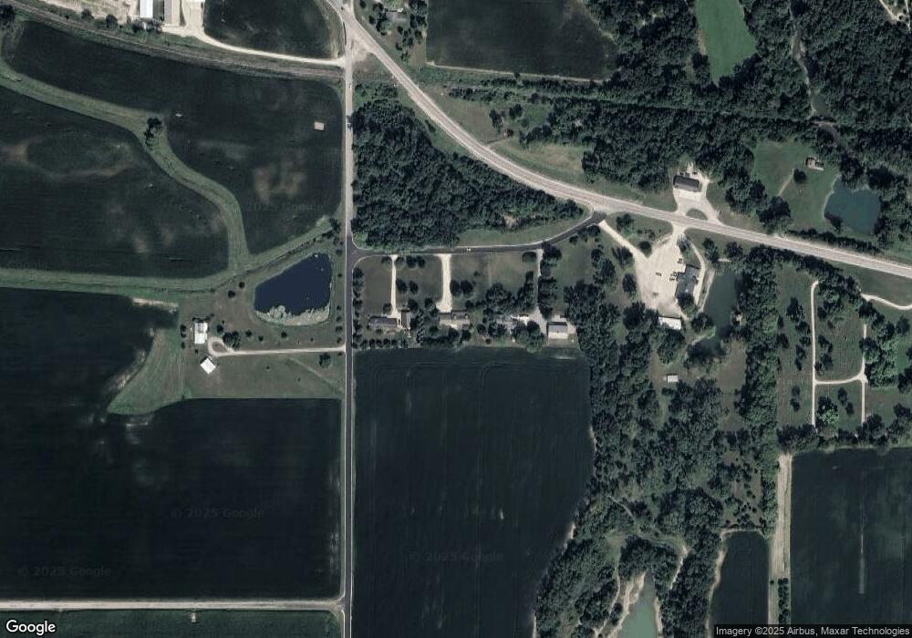
Map
Nearby Homes
- 201 W Wiggs St
- 304 S Wayne St
- 1291 State Route 219
- 2729 S 300 E
- 1610 E Division Rd
- 1096 E 26 Hwy
- 604 E Water St
- 606 E Walnut St
- TBD E High St Unit Portland
- TBD E High St
- 234 E High St
- 0 Ohio 118
- 4543 Lange Rd
- 1210 S Shank St
- 92 W Golf Brook Dr
- TBD W 550 S
- 2957 S Southtown Place
- 0 N Meridian St
- 429 W Votaw St
- 703 W Race St
- 48 Gravel Pit Rd
- 10 Gravel Pit Rd
- 1858 S State Line Rd
- 1802 S State Line Rd
- 2340 Ohio Indiana State Line Rd
- 141 State Route 119
- 2394 Ohio Indiana State Line Rd
- 8988 E State Road 26
- 141 Ohio 119
- 2432 Ohio Indiana State Line Rd
- 1932 Ohio Indiana State Line Rd
- 8857 E State Road 26
- 2450 Ohio Indiana State Line Rd
- 1956 Ohio Indiana State Line Rd
- 300 State Route 119
- 251 Lowry Rd
- 2510 Ohio Indiana State Line Rd
- 8612 E 200 S
- 8749 E State Road 26
- 2532 Ohio Indiana State Line Rd