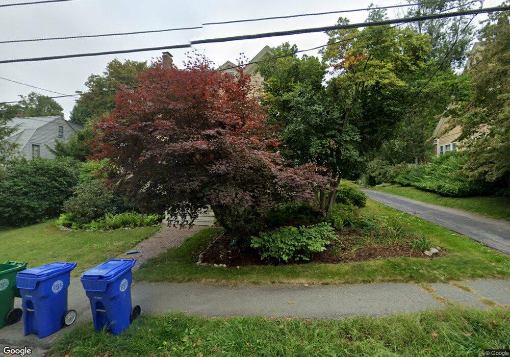
30 Groveland St Unit 2 Auburndale, MA 02466
Auburndale NeighborhoodEstimated Value: $1,085,000 - $1,414,000
4
Beds
2
Baths
2,400
Sq Ft
$502/Sq Ft
Est. Value
About This Home
This home is located at 30 Groveland St Unit 2, Auburndale, MA 02466 and is currently estimated at $1,205,231, approximately $502 per square foot. 30 Groveland St Unit 2 is a home located in Middlesex County with nearby schools including Williams Elementary School, Charles E Brown Middle School, and Newton South High School.
Ownership History
Date
Name
Owned For
Owner Type
Purchase Details
Closed on
Nov 27, 2006
Sold by
Cartus Financial Corp
Bought by
Milliman-Richard Yolanda and Richard Bruce
Current Estimated Value
Home Financials for this Owner
Home Financials are based on the most recent Mortgage that was taken out on this home.
Original Mortgage
$51,950
Interest Rate
6.39%
Mortgage Type
Purchase Money Mortgage
Purchase Details
Closed on
Jul 19, 2001
Sold by
Chang Leo S and Chang Annelisse
Bought by
Demarchis Francesco and Hess Patricia M
Create a Home Valuation Report for This Property
The Home Valuation Report is an in-depth analysis detailing your home's value as well as a comparison with similar homes in the area
Home Values in the Area
Average Home Value in this Area
Purchase History
| Date | Buyer | Sale Price | Title Company |
|---|---|---|---|
| Milliman-Richard Yolanda | $520,000 | -- | |
| Cartus Corp | $520,000 | -- | |
| Demarchis Francesco | $455,000 | -- |
Source: Public Records
Mortgage History
| Date | Status | Borrower | Loan Amount |
|---|---|---|---|
| Open | Demarchis Francesco | $405,000 | |
| Closed | Demarchis Francesco | $54,000 | |
| Closed | Cartus Corp | $51,950 | |
| Closed | Milliman-Richard Yolanda | $416,000 | |
| Previous Owner | Demarchis Francesco | $37,500 |
Source: Public Records
Tax History Compared to Growth
Tax History
| Year | Tax Paid | Tax Assessment Tax Assessment Total Assessment is a certain percentage of the fair market value that is determined by local assessors to be the total taxable value of land and additions on the property. | Land | Improvement |
|---|---|---|---|---|
| 2025 | $9,536 | $973,100 | $0 | $973,100 |
| 2024 | $9,221 | $944,800 | $0 | $944,800 |
| 2023 | $9,115 | $895,400 | $0 | $895,400 |
| 2022 | $8,845 | $840,800 | $0 | $840,800 |
| 2021 | $8,535 | $793,200 | $0 | $793,200 |
| 2020 | $8,281 | $793,200 | $0 | $793,200 |
| 2019 | $8,048 | $770,100 | $0 | $770,100 |
| 2018 | $8,230 | $760,600 | $0 | $760,600 |
| 2017 | $7,979 | $717,500 | $0 | $717,500 |
| 2016 | $7,631 | $670,600 | $0 | $670,600 |
| 2015 | $7,277 | $626,800 | $0 | $626,800 |
Source: Public Records
Map
Nearby Homes
- 224 Auburn St Unit 224
- 224 Auburn St Unit A
- 226 Auburn St Unit 226
- 17 Lasell St
- 283 Melrose St
- 2202 Commonwealth Ave Unit 2
- 2202 Commonwealth Ave Unit 1
- 13 Weir St
- 283 Woodland Rd
- 62-64 Rowe St Unit B
- 27 Oakwood Rd
- 1639 Washington St
- 1754 Washington St
- 51 Bourne St
- 17 Gilbert St
- 17 Crescent St
- 0 Duncan Rd Unit 72925240
- 10 Crescent St Unit 1
- 10 Crescent St Unit 2
- 160 Pine St Unit 12
- 30 Groveland St Unit 1
- 30 Groveland St Unit 2 30
- 24 Groveland St
- 34 Groveland St
- 40 Groveland St
- 25 Groveland St
- 35 Groveland St
- 35 Groveland St Unit None
- 60 Grove St
- 50 Grove St Unit 52
- 50 Grove St Unit 52
- 50 Grove St Unit 50
- 21 Groveland St
- 15 Maple Terrace Unit 15A
- 15 Maple Terrace
- 26 Maple Terrace
- 66 Grove St
- 15 Groveland St
- 24 Maple Terrace
- 42 Grove St