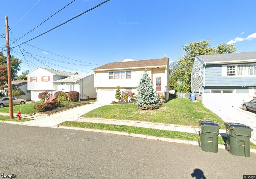
30 Harned Ave Perth Amboy, NJ 08861
Estimated Value: $424,159 - $565,000
4
Beds
2
Baths
1,284
Sq Ft
$383/Sq Ft
Est. Value
About This Home
This home is located at 30 Harned Ave, Perth Amboy, NJ 08861 and is currently estimated at $492,040, approximately $383 per square foot. 30 Harned Ave is a home located in Middlesex County with nearby schools including Port Reading Elementary School, Fords Middle School, and John F. Kennedy Memorial High School.
Ownership History
Date
Name
Owned For
Owner Type
Purchase Details
Closed on
Dec 15, 2005
Sold by
White Carolyn
Bought by
Jiminez Wendy
Current Estimated Value
Home Financials for this Owner
Home Financials are based on the most recent Mortgage that was taken out on this home.
Original Mortgage
$48,000
Interest Rate
6.39%
Mortgage Type
Credit Line Revolving
Create a Home Valuation Report for This Property
The Home Valuation Report is an in-depth analysis detailing your home's value as well as a comparison with similar homes in the area
Home Values in the Area
Average Home Value in this Area
Purchase History
| Date | Buyer | Sale Price | Title Company |
|---|---|---|---|
| Jiminez Wendy | $332,000 | -- | |
| -- | -- | -- |
Source: Public Records
Mortgage History
| Date | Status | Borrower | Loan Amount |
|---|---|---|---|
| Previous Owner | -- | $48,000 | |
| Previous Owner | -- | $256,000 |
Source: Public Records
Tax History Compared to Growth
Tax History
| Year | Tax Paid | Tax Assessment Tax Assessment Total Assessment is a certain percentage of the fair market value that is determined by local assessors to be the total taxable value of land and additions on the property. | Land | Improvement |
|---|---|---|---|---|
| 2025 | $9,961 | $78,500 | $18,000 | $60,500 |
| 2024 | $9,711 | $78,500 | $18,000 | $60,500 |
| 2023 | $9,711 | $78,500 | $18,000 | $60,500 |
| 2022 | $9,432 | $78,500 | $18,000 | $60,500 |
| 2021 | $9,428 | $78,500 | $18,000 | $60,500 |
| 2020 | $9,102 | $78,500 | $18,000 | $60,500 |
| 2019 | $8,882 | $78,500 | $18,000 | $60,500 |
| 2018 | $8,683 | $78,500 | $18,000 | $60,500 |
| 2017 | $8,521 | $78,500 | $18,000 | $60,500 |
| 2016 | $8,436 | $78,500 | $18,000 | $60,500 |
| 2015 | $8,284 | $78,500 | $18,000 | $60,500 |
| 2014 | $8,067 | $78,500 | $18,000 | $60,500 |
Source: Public Records
Map
Nearby Homes
- 47 Harned Ave
- 795 May Ave
- 865 Barry Ave
- 670 Columbus Cir
- 6 Worden Ave
- 773 Colgate Ave
- 133 Howard St
- 670 Franklin Dr
- 1015 Rudyard Dr
- 164 Pennsylvania Ave
- 111 Longview Cir
- 646 Franklin Dr
- 1034 Rudyard Dr
- 99 Crestview Rd
- 745 Lee St
- 685 Raritan Ave
- 693 Hanson Ave
- 547 S Park Dr
- 49 Loretta St
- 163 Winchester Rd
- 26 Harned Ave
- 34 Harned Ave
- 38 Harned Ave
- 42 Harned Ave
- 497 Florida Grove Rd
- 29 Harned Ave
- 33 Harned Ave
- 834 Florida Grove Rd
- 838 Florida Grove Rd
- 830 Florida Grove Rd
- 46 Harned Ave
- 559 Florida Grove Rd
- 41 Harned Ave
- 826 Florida Grove Rd
- 842 Florida Grove Rd
- 50 Harned Ave
- 822 Florida Grove Rd
- 846 Florida Grove Rd
- 797 Barry Ave
- 54 Harned Ave