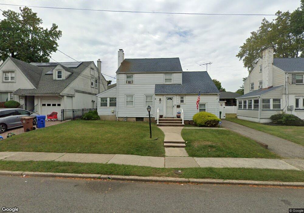
30 Harvard Rd Linden, NJ 07036
Estimated Value: $523,000 - $660,000
--
Bed
--
Bath
680
Sq Ft
$864/Sq Ft
Est. Value
About This Home
This home is located at 30 Harvard Rd, Linden, NJ 07036 and is currently estimated at $587,614, approximately $864 per square foot. 30 Harvard Rd is a home located in Union County with nearby schools including Deerfield Terrace School No. 9, Myles J. McManus Middle School, and Linden High School.
Ownership History
Date
Name
Owned For
Owner Type
Purchase Details
Closed on
Jun 10, 2003
Sold by
Hopkins George
Bought by
Petrosky Robert and Petrosky Denise
Current Estimated Value
Home Financials for this Owner
Home Financials are based on the most recent Mortgage that was taken out on this home.
Original Mortgage
$254,700
Outstanding Balance
$111,490
Interest Rate
5.77%
Estimated Equity
$476,124
Purchase Details
Closed on
Mar 31, 1997
Sold by
Tokar Peter and Tokar Patricia
Bought by
Hopkins George A
Create a Home Valuation Report for This Property
The Home Valuation Report is an in-depth analysis detailing your home's value as well as a comparison with similar homes in the area
Home Values in the Area
Average Home Value in this Area
Purchase History
| Date | Buyer | Sale Price | Title Company |
|---|---|---|---|
| Petrosky Robert | $283,000 | -- | |
| Hopkins George A | -- | -- |
Source: Public Records
Mortgage History
| Date | Status | Borrower | Loan Amount |
|---|---|---|---|
| Open | Petrosky Robert | $254,700 |
Source: Public Records
Tax History Compared to Growth
Tax History
| Year | Tax Paid | Tax Assessment Tax Assessment Total Assessment is a certain percentage of the fair market value that is determined by local assessors to be the total taxable value of land and additions on the property. | Land | Improvement |
|---|---|---|---|---|
| 2025 | $11,919 | $169,500 | $67,000 | $102,500 |
| 2024 | $11,658 | $169,500 | $67,000 | $102,500 |
| 2023 | $11,658 | $169,500 | $67,000 | $102,500 |
| 2022 | $11,719 | $169,500 | $67,000 | $102,500 |
| 2021 | $11,779 | $169,500 | $67,000 | $102,500 |
| 2020 | $11,716 | $169,500 | $67,000 | $102,500 |
| 2019 | $11,677 | $169,500 | $67,000 | $102,500 |
| 2018 | $11,673 | $169,500 | $67,000 | $102,500 |
| 2017 | $11,421 | $169,500 | $67,000 | $102,500 |
| 2016 | $11,062 | $169,500 | $67,000 | $102,500 |
| 2015 | $10,640 | $169,500 | $67,000 | $102,500 |
| 2014 | $10,433 | $169,500 | $67,000 | $102,500 |
Source: Public Records
Map
Nearby Homes
- 15 Swarthmore Rd
- 511 Brooklawn Ave Unit H1
- 1809 N Wood Ave Unit D1
- 1715 Orchard Terrace
- 46 Palisade Rd
- 574 Sherman Ave
- 1605 Wood Ave Unit F1
- 382 Douglas Rd
- 1210 Orchard Terrace
- 2209 N Wood Ave
- 1718 Summit Terrace
- 204 Swarthmore Rd
- 222 Yale Terrace
- 112 Melrose Terrace
- 559 Uncas Ave
- 1720 Dewitt Terrace
- 123 Robbinwood Terrace
- 1611 Dewitt Terrace
- 63 Elmwood Terrace
- 221 Douglas Rd
- 34 Harvard Rd
- 24 Harvard Rd
- 40 Harvard Rd
- 31 Princeton Rd
- 35 Princeton Rd
- 25 Princeton Rd
- 20 Harvard Rd
- 39 Princeton Rd
- 21 Princeton Rd
- 31 Harvard Rd
- 23 Harvard Rd
- 35 Harvard Rd
- 14 Harvard Rd
- 15 Princeton Rd
- 39 Harvard Rd
- 17 Harvard Rd
- 11 Princeton Rd
- 13 Harvard Rd
- 1414 Orchard Terrace
- 32 Yale Terrace