30 High Point Dr North Grafton, MA 01536
Estimated Value: $960,000 - $1,089,000
4
Beds
3
Baths
3,700
Sq Ft
$285/Sq Ft
Est. Value
About This Home
This home is located at 30 High Point Dr, North Grafton, MA 01536 and is currently estimated at $1,053,463, approximately $284 per square foot. 30 High Point Dr is a home located in Worcester County with nearby schools including Grafton High School.
Ownership History
Date
Name
Owned For
Owner Type
Purchase Details
Closed on
Sep 30, 2008
Sold by
Adams Road Co Llc
Bought by
Gagnon Melissa B and Gagnon Ronald E
Current Estimated Value
Home Financials for this Owner
Home Financials are based on the most recent Mortgage that was taken out on this home.
Original Mortgage
$417,000
Interest Rate
6.57%
Mortgage Type
Purchase Money Mortgage
Create a Home Valuation Report for This Property
The Home Valuation Report is an in-depth analysis detailing your home's value as well as a comparison with similar homes in the area
Home Values in the Area
Average Home Value in this Area
Purchase History
| Date | Buyer | Sale Price | Title Company |
|---|---|---|---|
| Gagnon Melissa B | $555,000 | -- | |
| Gagnon Melissa B | $555,000 | -- | |
| Gagnon Melissa B | $555,000 | -- |
Source: Public Records
Mortgage History
| Date | Status | Borrower | Loan Amount |
|---|---|---|---|
| Open | Gagnon Melissa B | $408,000 | |
| Closed | Gagnon Melissa B | $414,000 | |
| Closed | Gagnon Melissa B | $417,000 |
Source: Public Records
Tax History Compared to Growth
Tax History
| Year | Tax Paid | Tax Assessment Tax Assessment Total Assessment is a certain percentage of the fair market value that is determined by local assessors to be the total taxable value of land and additions on the property. | Land | Improvement |
|---|---|---|---|---|
| 2025 | $13,094 | $939,300 | $177,300 | $762,000 |
| 2024 | $12,993 | $908,000 | $177,800 | $730,200 |
| 2023 | $11,875 | $755,900 | $177,800 | $578,100 |
| 2022 | $11,149 | $660,500 | $152,600 | $507,900 |
| 2021 | $9,930 | $578,000 | $138,800 | $439,200 |
| 2020 | $9,481 | $574,600 | $138,800 | $435,800 |
| 2019 | $9,391 | $563,700 | $134,800 | $428,900 |
| 2018 | $9,572 | $577,000 | $133,700 | $443,300 |
| 2017 | $9,263 | $564,800 | $123,900 | $440,900 |
| 2016 | $8,640 | $515,800 | $127,500 | $388,300 |
| 2015 | $8,565 | $519,100 | $127,500 | $391,600 |
| 2014 | $7,731 | $506,600 | $135,700 | $370,900 |
Source: Public Records
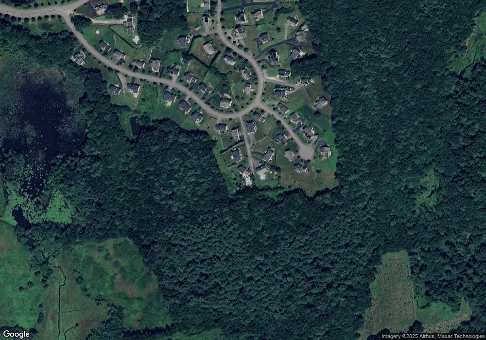
Map
Nearby Homes
- 54 High Point Dr
- 1 Valley View Dr
- 2 Libbey Ln
- LC3 Liberty Cir
- LL39 Libbey Ln
- 55 Estabrook St
- 37 Libbey Ln
- 201 Old Westboro Rd
- 11 Quick Farm Rd
- 41 Adams St
- 19 Magnolia Ln
- 9 Baldwin Ct
- 5 Blossom Ct Unit 5
- 1 Benjamin Dr
- 168 Upton St Unit 12
- 66 North St
- 61 Wesson St
- 63 North St
- 5 Merriam Rd
- 22 Capt Samuel Forbush Rd
- 28 High Point Dr
- 32 High Point Dr
- 34 High Point Dr
- 26 High Point Dr
- 36 High Point Dr
- 6 Pepperbush Ct
- 24 High Point Dr
- 4 Pepperbush Ct
- 38 High Point Dr
- 8 Pepperbush Ct
- 2 Pepperbush Ct
- 22 High Point Dr
- 39 High Point Dr
- 22 High Point Dr
- 35B High Point Dr
- 33 Pepperbush Ct
- 1 Pepperbush Ct
- 23 High Point Dr
- 43 High Point Dr
- 3 Pepperbush Ct