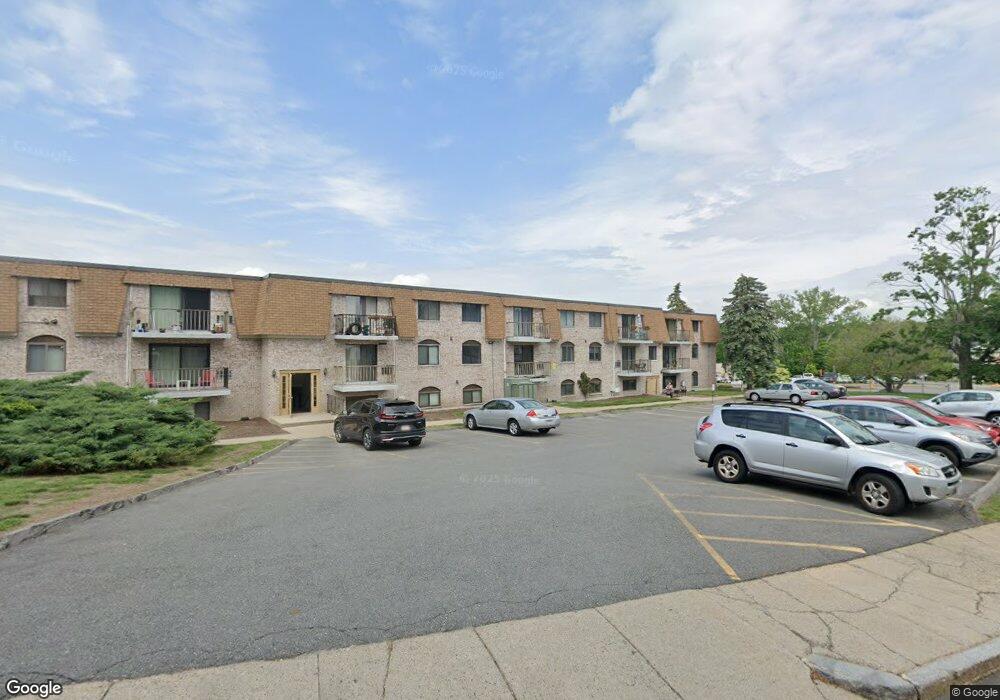
30 High St Unit 10 Dedham, MA 02026
Oakdale NeighborhoodEstimated Value: $388,925 - $470,000
2
Beds
1
Bath
923
Sq Ft
$452/Sq Ft
Est. Value
About This Home
This home is located at 30 High St Unit 10, Dedham, MA 02026 and is currently estimated at $416,981, approximately $451 per square foot. 30 High St Unit 10 is a home located in Norfolk County with nearby schools including Avery, Dedham Middle School, and Dedham High School.
Ownership History
Date
Name
Owned For
Owner Type
Purchase Details
Closed on
Jun 30, 2015
Sold by
Pulgini Christine A
Bought by
Kachmarik Scott
Current Estimated Value
Home Financials for this Owner
Home Financials are based on the most recent Mortgage that was taken out on this home.
Original Mortgage
$161,250
Outstanding Balance
$125,645
Interest Rate
3.84%
Mortgage Type
New Conventional
Estimated Equity
$291,336
Create a Home Valuation Report for This Property
The Home Valuation Report is an in-depth analysis detailing your home's value as well as a comparison with similar homes in the area
Home Values in the Area
Average Home Value in this Area
Purchase History
| Date | Buyer | Sale Price | Title Company |
|---|---|---|---|
| Kachmarik Scott | $215,000 | -- |
Source: Public Records
Mortgage History
| Date | Status | Borrower | Loan Amount |
|---|---|---|---|
| Open | Kachmarik Scott | $161,250 |
Source: Public Records
Tax History Compared to Growth
Tax History
| Year | Tax Paid | Tax Assessment Tax Assessment Total Assessment is a certain percentage of the fair market value that is determined by local assessors to be the total taxable value of land and additions on the property. | Land | Improvement |
|---|---|---|---|---|
| 2025 | $4,146 | $328,500 | $0 | $328,500 |
| 2024 | $3,690 | $295,200 | $0 | $295,200 |
| 2023 | $3,523 | $274,400 | $0 | $274,400 |
| 2022 | $3,223 | $241,400 | $0 | $241,400 |
| 2021 | $3,225 | $235,900 | $0 | $235,900 |
| 2020 | $3,241 | $236,200 | $0 | $236,200 |
| 2019 | $3,417 | $241,500 | $0 | $241,500 |
| 2018 | $2,967 | $203,900 | $0 | $203,900 |
| 2017 | $2,880 | $195,100 | $0 | $195,100 |
| 2016 | $2,799 | $180,700 | $0 | $180,700 |
| 2015 | $2,680 | $168,900 | $0 | $168,900 |
| 2014 | -- | $161,200 | $0 | $161,200 |
Source: Public Records
Map
Nearby Homes
- 108 High St
- 7 S Stone Mill Dr Unit 514
- 7 S Stone Mill Dr Unit 403
- 36 N Stone Mill Dr Unit 1224
- 19 Lewis Ln
- 163 Whiting Ave
- 18 Harding Terrace
- 10 Fairview St
- 3 Lewis Farm Rd
- 10 Lewis Farm Rd
- 14 Hanson St
- 83 Mount Hope St
- 38 Fleming St
- 56 Mount Vernon St
- 69 Berlin St
- 155 Mount Vernon St
- 109 Rockland St
- 442 High St
- 167 Cedar St
- 10 Crowley Ave
- 30 High St Unit 103
- 30 High St Unit 9
- 30 High St Unit 8
- 30 High St Unit 7
- 30 High St Unit 6
- 30 High St Unit 5
- 30 High St Unit 4
- 30 High St Unit 3
- 30 High St Unit 2
- 30 High St Unit 13
- 30 High St Unit 12
- 30 High St Unit 11
- 30 High St Unit 1
- 30 High St Unit 304
- 30 High St Unit 209
- 30 High St Unit 303
- 30 High St Unit 202
- 30 High St Unit 19a,30
- 30 High St Unit 201
- 30 High St Unit 302