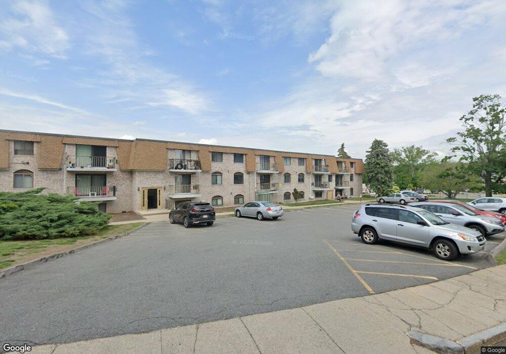
30 High St Unit 13 Dedham, MA 02026
Oakdale NeighborhoodEstimated Value: $388,000 - $426,000
2
Beds
1
Bath
935
Sq Ft
$434/Sq Ft
Est. Value
About This Home
This home is located at 30 High St Unit 13, Dedham, MA 02026 and is currently estimated at $406,164, approximately $434 per square foot. 30 High St Unit 13 is a home located in Norfolk County with nearby schools including Avery, Dedham Middle School, and Dedham High School.
Ownership History
Date
Name
Owned For
Owner Type
Purchase Details
Closed on
Dec 13, 2016
Sold by
Rindini Michael A
Bought by
Capatina Valenin and Capatina Cristina
Current Estimated Value
Home Financials for this Owner
Home Financials are based on the most recent Mortgage that was taken out on this home.
Original Mortgage
$176,000
Outstanding Balance
$143,519
Interest Rate
3.47%
Mortgage Type
New Conventional
Estimated Equity
$262,645
Purchase Details
Closed on
Jul 17, 2013
Sold by
Sullivan Kathryn
Bought by
Rindini Michael A
Purchase Details
Closed on
Sep 30, 1996
Sold by
Stivaletta Bruce
Bought by
Sullivan Kathryn
Home Financials for this Owner
Home Financials are based on the most recent Mortgage that was taken out on this home.
Original Mortgage
$25,000
Interest Rate
7.83%
Mortgage Type
Purchase Money Mortgage
Create a Home Valuation Report for This Property
The Home Valuation Report is an in-depth analysis detailing your home's value as well as a comparison with similar homes in the area
Home Values in the Area
Average Home Value in this Area
Purchase History
| Date | Buyer | Sale Price | Title Company |
|---|---|---|---|
| Capatina Valenin | $220,000 | -- | |
| Rindini Michael A | $167,000 | -- | |
| Sullivan Kathryn | $74,000 | -- |
Source: Public Records
Mortgage History
| Date | Status | Borrower | Loan Amount |
|---|---|---|---|
| Open | Capatina Valenin | $176,000 | |
| Previous Owner | Sullivan Kathryn | $25,000 |
Source: Public Records
Tax History
| Year | Tax Paid | Tax Assessment Tax Assessment Total Assessment is a certain percentage of the fair market value that is determined by local assessors to be the total taxable value of land and additions on the property. | Land | Improvement |
|---|---|---|---|---|
| 2025 | $4,515 | $357,800 | $0 | $357,800 |
| 2024 | $4,020 | $321,600 | $0 | $321,600 |
| 2023 | $3,838 | $298,900 | $0 | $298,900 |
| 2022 | $3,510 | $262,900 | $0 | $262,900 |
| 2021 | $3,513 | $257,000 | $0 | $257,000 |
| 2020 | $3,403 | $248,000 | $0 | $248,000 |
| 2019 | $3,444 | $243,400 | $0 | $243,400 |
| 2018 | $2,990 | $205,500 | $0 | $205,500 |
| 2017 | $2,902 | $196,600 | $0 | $196,600 |
| 2016 | $2,821 | $182,100 | $0 | $182,100 |
| 2015 | $2,701 | $170,200 | $0 | $170,200 |
| 2014 | $2,611 | $162,400 | $0 | $162,400 |
Source: Public Records
Map
Nearby Homes
- 30 High St Unit 103
- 30 High St Unit 9
- 30 High St Unit 8
- 30 High St Unit 7
- 30 High St Unit 6
- 30 High St Unit 5
- 30 High St Unit 4
- 30 High St Unit 3
- 30 High St Unit 2
- 30 High St Unit 12
- 30 High St Unit 11
- 30 High St Unit 10
- 30 High St Unit 1
- 30 High St Unit 304
- 30 High St Unit 209
- 30 High St Unit 303
- 30 High St Unit 202
- 30 High St Unit 19a,30
- 30 High St Unit 201
- 30 High St Unit 302