30 Holden Wood Rd Concord, MA 01742
Estimated Value: $1,532,000 - $1,630,427
4
Beds
3
Baths
2,866
Sq Ft
$552/Sq Ft
Est. Value
About This Home
This home is located at 30 Holden Wood Rd, Concord, MA 01742 and is currently estimated at $1,580,607, approximately $551 per square foot. 30 Holden Wood Rd is a home located in Middlesex County with nearby schools including Willard School, Concord Middle School, and The Fenn School.
Ownership History
Date
Name
Owned For
Owner Type
Purchase Details
Closed on
Nov 27, 2012
Sold by
Goldbarg Jeffrey R and Goldbarg Laurie H
Bought by
Goldbarg Jeffrey R and Goldbarg Laurie H
Current Estimated Value
Create a Home Valuation Report for This Property
The Home Valuation Report is an in-depth analysis detailing your home's value as well as a comparison with similar homes in the area
Home Values in the Area
Average Home Value in this Area
Purchase History
| Date | Buyer | Sale Price | Title Company |
|---|---|---|---|
| Goldbarg Jeffrey R | -- | -- |
Source: Public Records
Tax History Compared to Growth
Tax History
| Year | Tax Paid | Tax Assessment Tax Assessment Total Assessment is a certain percentage of the fair market value that is determined by local assessors to be the total taxable value of land and additions on the property. | Land | Improvement |
|---|---|---|---|---|
| 2025 | $16,302 | $1,229,400 | $633,500 | $595,900 |
| 2024 | $15,824 | $1,205,200 | $633,500 | $571,700 |
| 2023 | $14,934 | $1,152,300 | $595,700 | $556,600 |
| 2022 | $14,131 | $957,400 | $476,500 | $480,900 |
| 2021 | $12,397 | $842,200 | $407,700 | $434,500 |
| 2020 | $12,387 | $870,500 | $407,700 | $462,800 |
| 2019 | $11,498 | $810,300 | $395,900 | $414,400 |
| 2018 | $11,748 | $822,100 | $396,700 | $425,400 |
| 2017 | $11,729 | $833,600 | $377,800 | $455,800 |
| 2016 | $11,040 | $793,100 | $377,800 | $415,300 |
| 2015 | $10,425 | $729,500 | $349,800 | $379,700 |
Source: Public Records
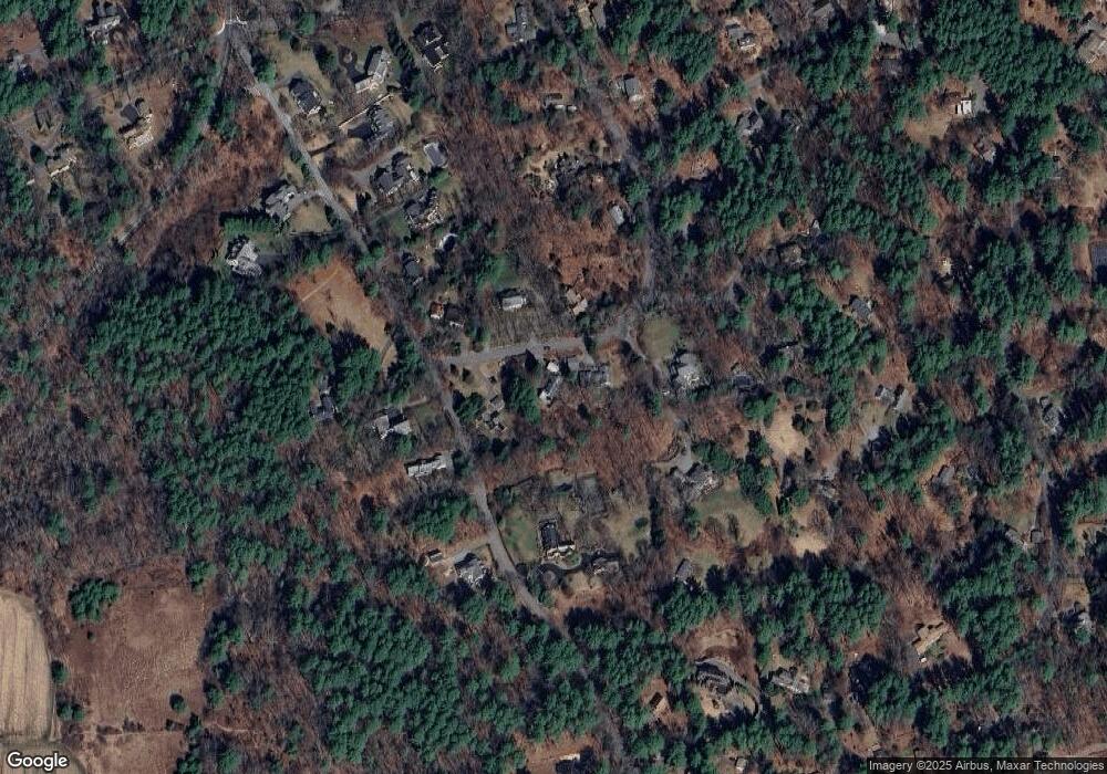
Map
Nearby Homes
- 497 Old Road to 9 Acre Corner
- 37 Wolf Pine Way
- 40 Rookery Ln Unit 5
- 72 Rookery Ln Unit 3
- 56 Rookery Ln Unit 4
- 24 Rookery Ln Unit 6
- 236 Fairhaven Rd
- 121 White Pond Way Unit 121
- 49 Birchwood Ln Unit 49
- 401 Emery Ln Unit 304
- 50 Windingwood Ln
- 84 Bruce Rd
- 134 Chestnut Cir
- 33 Old Concord Rd
- 182 Southfield Rd
- 12 S Meadow Ridge Unit 12
- 12 S Meadow Ridge
- 232 Sudbury Rd
- 602 Main St
- 114 Upland Rd
- 12 Holden Wood Rd
- 40 Holden Wood Rd
- 4B Garfield Rd
- 25 Holden Wood Rd
- 43 Holden Wood Rd
- 126 Garfield Rd
- 126 Garfield Rd Unit 126
- 9 Holden Wood Rd
- 153 Garfield Rd
- 56 Holden Wood Rd
- 19 King Ln
- 110 Garfield Rd
- 42 King Ln
- 150 Garfield Rd
- 63 Garfield Rd
- 85 Holden Wood Rd
- 76 Holden Wood Rd
- 187 Garfield Rd
- 100 Garfield Rd
- 34 Holden Ln