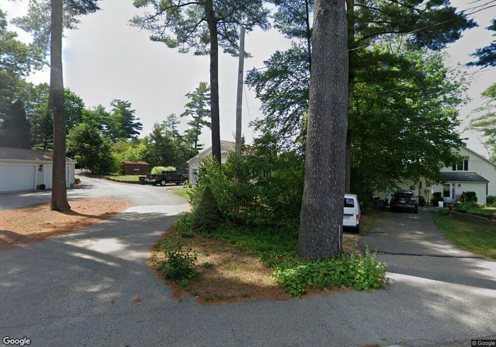
30 Holmesst Halifax, MA 02338
Estimated Value: $568,769 - $631,000
3
Beds
2
Baths
1,881
Sq Ft
$321/Sq Ft
Est. Value
About This Home
This home is located at 30 Holmesst, Halifax, MA 02338 and is currently estimated at $603,442, approximately $320 per square foot. 30 Holmesst is a home located in Plymouth County with nearby schools including Silver Lake Regional High School, Halifax Elementary School, and Silver Lake Regional Middle School.
Ownership History
Date
Name
Owned For
Owner Type
Purchase Details
Closed on
Nov 9, 2022
Sold by
Holmes Street Rt and Leigh
Bought by
Homes Street Rt and Leigh
Current Estimated Value
Purchase Details
Closed on
Aug 6, 2019
Sold by
Holmes Street Rt
Bought by
Holmes Street Rt
Purchase Details
Closed on
Jul 31, 2017
Sold by
Roy Raymond
Bought by
Holmes Street Rt and Leigh
Purchase Details
Closed on
Jun 21, 2017
Sold by
30 Holmes Street T and 30 Arenburg
Bought by
Roy Raymond
Purchase Details
Closed on
Sep 16, 2011
Sold by
Roy Raymond G
Bought by
30 Holmes Street T and 30 Arenburg
Purchase Details
Closed on
Sep 1, 2011
Sold by
Roy Armand E and Roy Sharlene F
Bought by
Roy Raymond G
Create a Home Valuation Report for This Property
The Home Valuation Report is an in-depth analysis detailing your home's value as well as a comparison with similar homes in the area
Home Values in the Area
Average Home Value in this Area
Purchase History
| Date | Buyer | Sale Price | Title Company |
|---|---|---|---|
| Homes Street Rt | -- | None Available | |
| Homes Street Rt | -- | None Available | |
| Holmes Street Rt | -- | -- | |
| Holmes Street Rt | $445,000 | -- | |
| Roy Raymond | -- | -- | |
| Roy Raymond | -- | -- | |
| 30 Holmes Street T | -- | -- | |
| 30 Holmes Street T | -- | -- | |
| Roy Raymond G | $120,000 | -- | |
| Roy Raymond G | $120,000 | -- |
Source: Public Records
Tax History
| Year | Tax Paid | Tax Assessment Tax Assessment Total Assessment is a certain percentage of the fair market value that is determined by local assessors to be the total taxable value of land and additions on the property. | Land | Improvement |
|---|---|---|---|---|
| 2025 | $7,569 | $530,400 | $237,400 | $293,000 |
| 2024 | $8,271 | $574,400 | $228,300 | $346,100 |
| 2023 | $7,958 | $534,800 | $221,600 | $313,200 |
| 2022 | $7,672 | $479,200 | $197,900 | $281,300 |
| 2021 | $7,309 | $420,300 | $176,700 | $243,600 |
| 2020 | $7,046 | $404,000 | $176,700 | $227,300 |
| 2019 | $6,860 | $392,700 | $171,500 | $221,200 |
| 2018 | $6,340 | $359,200 | $149,400 | $209,800 |
| 2017 | $5,935 | $320,300 | $149,400 | $170,900 |
| 2016 | $6,102 | $317,000 | $157,100 | $159,900 |
| 2015 | $6,020 | $317,000 | $157,100 | $159,900 |
Source: Public Records
Map
Nearby Homes
- 151 Plymouth St Unit 151A
- 3 Natureway Cir
- 20 Forestdale Dr
- 8 Beechwood Rd
- 1 Ferndale Dr
- 53 Beechwood Rd
- 63 Sycamore Dr
- 37 Annawon Dr
- 68 Sycamore Dr
- The Drift Plan at Featherwinds
- 265 Monponsett St Unit 2210
- The Expanded Cloud Plan at Featherwinds
- The Cirrus Plan at Featherwinds
- 265 Monponsett St Unit 2203
- The Breeze Plan at Featherwinds
- The Wind Plan at Featherwinds
- 343 Monponsett St
- 266 Monponsett St Unit 1103
- 266 Monponsett St Unit 1105
- 266 Monponsett St Unit 1201
Your Personal Tour Guide
Ask me questions while you tour the home.