30 Hunt Dr Warminster, PA 18974
Estimated Value: $583,000 - $632,917
4
Beds
3
Baths
2,006
Sq Ft
$300/Sq Ft
Est. Value
About This Home
This home is located at 30 Hunt Dr, Warminster, PA 18974 and is currently estimated at $601,479, approximately $299 per square foot. 30 Hunt Dr is a home located in Bucks County with nearby schools including Maureen M. Welch Elementary School, Richboro Middle School, and Council Rock High School - South.
Ownership History
Date
Name
Owned For
Owner Type
Purchase Details
Closed on
May 9, 2003
Sold by
Lally Frank X
Bought by
Lally Frank X and Lally Dawn A
Current Estimated Value
Home Financials for this Owner
Home Financials are based on the most recent Mortgage that was taken out on this home.
Original Mortgage
$145,000
Interest Rate
5.16%
Mortgage Type
Purchase Money Mortgage
Purchase Details
Closed on
Dec 30, 1998
Sold by
Lally John B and Lally Margaret M
Bought by
Lally Frank X
Home Financials for this Owner
Home Financials are based on the most recent Mortgage that was taken out on this home.
Original Mortgage
$105,600
Interest Rate
6.84%
Create a Home Valuation Report for This Property
The Home Valuation Report is an in-depth analysis detailing your home's value as well as a comparison with similar homes in the area
Home Values in the Area
Average Home Value in this Area
Purchase History
| Date | Buyer | Sale Price | Title Company |
|---|---|---|---|
| Lally Frank X | -- | -- | |
| Lally Frank X | $132,000 | -- |
Source: Public Records
Mortgage History
| Date | Status | Borrower | Loan Amount |
|---|---|---|---|
| Closed | Lally Frank X | $145,000 | |
| Closed | Lally Frank X | $105,600 |
Source: Public Records
Tax History
| Year | Tax Paid | Tax Assessment Tax Assessment Total Assessment is a certain percentage of the fair market value that is determined by local assessors to be the total taxable value of land and additions on the property. | Land | Improvement |
|---|---|---|---|---|
| 2025 | $7,103 | $36,880 | $6,520 | $30,360 |
| 2024 | $7,103 | $36,880 | $6,520 | $30,360 |
| 2023 | $6,695 | $36,880 | $6,520 | $30,360 |
| 2022 | $6,634 | $36,880 | $6,520 | $30,360 |
| 2021 | $6,424 | $36,880 | $6,520 | $30,360 |
| 2020 | $6,279 | $36,880 | $6,520 | $30,360 |
| 2019 | $6,010 | $36,880 | $6,520 | $30,360 |
| 2018 | $5,903 | $36,880 | $6,520 | $30,360 |
| 2017 | $5,676 | $36,880 | $6,520 | $30,360 |
| 2016 | $5,676 | $36,880 | $6,520 | $30,360 |
| 2015 | -- | $36,880 | $6,520 | $30,360 |
| 2014 | -- | $36,880 | $6,520 | $30,360 |
Source: Public Records
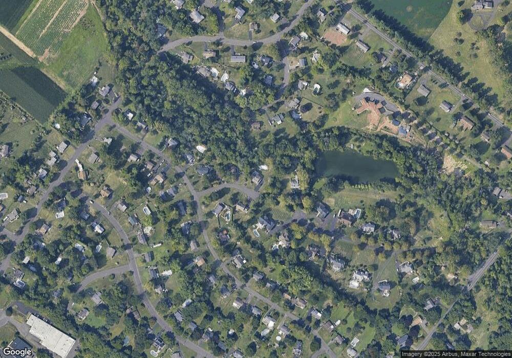
Map
Nearby Homes
- 6 Creekside Dr
- 636 Almshouse Rd
- 9 Spring Dr
- 11 Spring Dr
- 21 Spring Mill Dr Unit 12
- 3 Shady Pines Dr
- 23 Oxford Dr
- 55 Parry Way
- 9 Skyview Dr
- 901 Nathaniel Trail
- 1390 Old Jacksonville Rd
- 3 Cumberland Cir
- 841 Nathaniel Trail
- 111 Grandview Dr
- 920 Nathaniel Trail
- 931 Nathaniel Trail
- 105 Edwards Dr
- 941 Hamilton Way
- 112 Edwards Dr
- 60 Joshua Dr
- 20 Hunt Dr
- 27 Hunt Dr
- 148 Gwyn Lynn Dr
- 8 Hunt Dr
- 91 Hunt Dr
- 149 Gwyn Lynn Dr
- 44 Brookline Rd
- 137 N Traymore Ave
- 109 N Traymore Ave
- 140 Gwyn Lynn Dr
- 141 Gwyn Lynn Dr
- 41 Brookline Rd
- 93 N Traymore Ave
- 159 N Traymore Ave
- 28 Brookline Rd
- 132 N Traymore Ave
- 142 N Traymore Ave
- 120 N Traymore Ave
- 63 Brookline Rd
- 81 N Traymore Ave
Your Personal Tour Guide
Ask me questions while you tour the home.