30 Keay Rd Lebanon, ME 04027
Estimated Value: $492,000 - $504,625
3
Beds
3
Baths
1,728
Sq Ft
$289/Sq Ft
Est. Value
About This Home
This home is located at 30 Keay Rd, Lebanon, ME 04027 and is currently estimated at $500,208, approximately $289 per square foot. 30 Keay Rd is a home located in York County with nearby schools including Noble High School.
Ownership History
Date
Name
Owned For
Owner Type
Purchase Details
Closed on
Aug 18, 2006
Sold by
Hood Michelle E and Hood Gary J
Bought by
Reale Paul L and Reale Janet
Current Estimated Value
Home Financials for this Owner
Home Financials are based on the most recent Mortgage that was taken out on this home.
Original Mortgage
$60,000
Outstanding Balance
$20,698
Interest Rate
6.88%
Mortgage Type
Unknown
Estimated Equity
$479,510
Create a Home Valuation Report for This Property
The Home Valuation Report is an in-depth analysis detailing your home's value as well as a comparison with similar homes in the area
Home Values in the Area
Average Home Value in this Area
Purchase History
| Date | Buyer | Sale Price | Title Company |
|---|---|---|---|
| Reale Paul L | -- | -- |
Source: Public Records
Mortgage History
| Date | Status | Borrower | Loan Amount |
|---|---|---|---|
| Open | Reale Paul L | $60,000 |
Source: Public Records
Tax History Compared to Growth
Tax History
| Year | Tax Paid | Tax Assessment Tax Assessment Total Assessment is a certain percentage of the fair market value that is determined by local assessors to be the total taxable value of land and additions on the property. | Land | Improvement |
|---|---|---|---|---|
| 2024 | $4,289 | $451,525 | $131,750 | $319,775 |
| 2023 | $4,154 | $451,525 | $131,750 | $319,775 |
| 2022 | $3,578 | $233,100 | $37,100 | $196,000 |
| 2021 | $3,520 | $233,100 | $37,100 | $196,000 |
| 2020 | $3,695 | $233,100 | $37,100 | $196,000 |
| 2019 | $3,141 | $201,100 | $37,100 | $164,000 |
| 2017 | $3,065 | $201,100 | $37,100 | $164,000 |
| 2016 | $3,065 | $201,100 | $37,100 | $164,000 |
| 2015 | $3,065 | $201,100 | $37,100 | $164,000 |
| 2014 | $2,952 | $198,100 | $34,100 | $164,000 |
Source: Public Records
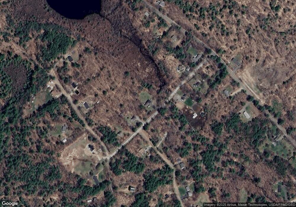
Map
Nearby Homes
- 7 Greystone Ln
- 1574 Foxes Ridge Rd
- 93 Shapleigh Rd
- 013 Foxes Ridge Rd
- 42 Little River Rd
- 35 Hoffman Ln
- 318 Sewell Shores Rd
- 314 Sewell Shores Rd
- 196 Jim Grant Rd
- 193 New Bridge Rd
- MR7L96C Scarlet Way
- 115 34th St
- Lot 13 Milton Mills Rd
- 247 NE Pond Rd
- R11-063 Shapleigh Rd
- 214 Center Rd
- 116 Felker Dr Unit A
- 116 Felker Dr Unit B
- 15 Pineland Park Rd
- 44 Pineland Park Rd
- 18 Keay Rd
- 10 Conifer Dr
- 41 Keay Rd
- 16 Keay Rd
- 7 Conifer Dr
- 46 Keay Rd
- 2 Keay Rd
- 47 Keay Rd
- 21 Old Milton Mills Rd
- 54 Keay Rd
- 0 Conifer Dr
- 51 Keay Rd
- 228 Milton Mills Rd
- 2 Old Milton Mills Rd
- 27 Old Milton Mills Rd
- 234 Milton Mills Rd
- 200 Milton Mills Rd
- 14 Old Milton Mills Rd
- 207 Pork St
- Lot 15 Pork St